


ICESat's mission is to measure ice sheet mass balance, cloud heights and aerosol heights, as well as land topography and vegetation characteristics.
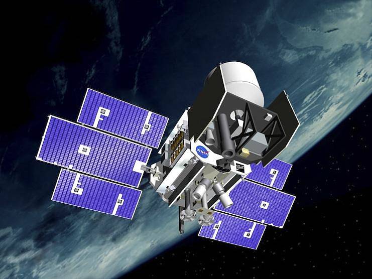
ICESat’s mission is to measure ice sheet mass balance, cloud heights and aerosol heights, as well as land topography and vegetation characteristics. The ICESat mission is collecting data needed to determine whether ice sheets are growing or shrinking. ICESat gathers information about clouds, especially for stratospheric clouds that are common over polar areas. The mission provides topography and vegetation data from around the globe, in addition to the polar-specific coverage over the Greenland and Antarctic ice sheets. > Read More