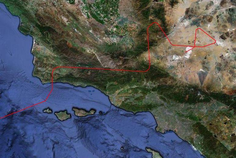
GloPac_flt_path
Mission: Global Hawk Pacific (GloPac)
The initial flight path of NASA’s Global Hawk on its first data-collection flight in the Global Hawk Pacific (GloPac) environmental science mission April 7, 2010 was marked in red overlaid on a Google Earth image of the Southern California coast. After departing NASA’s Dryden Flight Research Center at Edwards, CA the remotely operated aircraft followed zig-zag pattern to avoid populated areas until reaching the Pacific Ocean.April 7, 2010
NASA Image


