Daily U.S. air quality forecasts for particulate matter could potentially be more accurate as the result of incorporating NASA’s Earth-observing satellite data, according to a recent study.
Lead investigator of the study, Rajesh Kumar of the National Center for Atmospheric Research in Boulder, Colorado, incorporated, every three hours, satellite data of aerosol optical depth into the National Oceanic and Atmospheric Administration’s (NOAA) National Air Quality Forecast Capability (NAQFC). These changes have resulted in an approximately 38% improvement in the accuracy of the particulate pollutants reported in the NAQFC tests, which contributes to daily Air Quality Index (AQI) forecasts created by the U.S. Environmental Protection Agency (EPA).
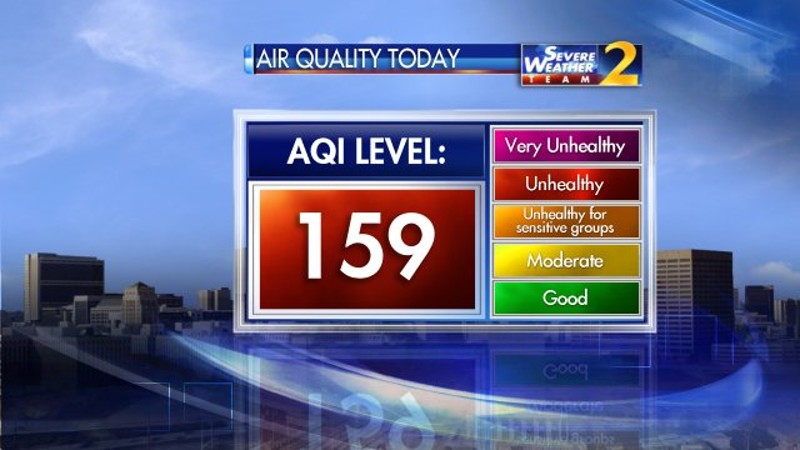
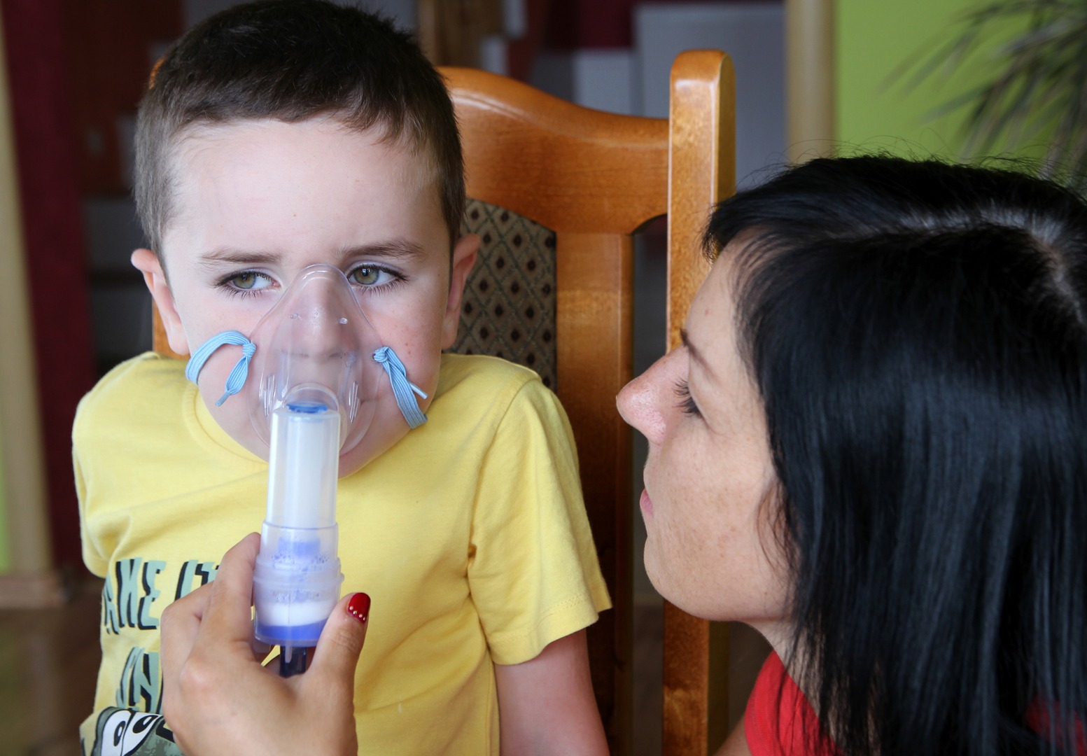
An AQI forecast is commonly used by meteorologists and others to create air quality alerts to warn vulnerable populations such as children, the elderly, and those with asthma and other respiratory diseases, who are especially at risk for health-related effects from particulate air pollution.
NOAA in partnership with EPA issues daily air quality forecast guidance as part of a national Air Quality Forecasting Capability. When creating an AQI forecast, the EPA and various state agencies rely on information from NOAA’s NAQFC program. NOAA’s Pius Lee says he and his team began including NASA satellite data into the NAQFC last year for pre-implementation testing. Previously they relied on sophisticated statistical modeling to correct model estimates of air quality instead of satellite measurements.
“Models relying on empirical relationships and assumptions can swerve off track if those assumptions are wrong,” Lee said.
NASA’s Earth-observing satellite data that is keeping the forecast on track is from the Moderate Resolution Imaging Spectroradiometer (MODIS) aboard NASA’s Terra and Aqua satellites. Lee says that using these near-real-time Earth observations allows the warning systems to account for uncertainties in models and unexpected extremes that formulas cannot plan for – like an active wildfire that billows hazardous smoke into surrounding communities.
“We’ve seen the biggest difference in times of the most dire need,” Lee said. “When the model is most urgently in need of correction due to surprise events like fires or major storms.”
The study by Kumar and his associates, published earlier this year in the Journal of Geophysical Research: Atmospheres, found that extreme events like wildfires could skew actual air quality from modeled predictions. He said that providing measurements on what conditions are really like – not what computers expected they would be – means Americans can better count on air quality warnings to make decisions to protect their health.
Kumar noted that “timely, accurate warning systems are more important than ever” for protecting public health. In 2017 the American Lung Association reported that more Americans experienced days ranked on the Air Quality Index as “hazardous” than ever before.
Kumar says that the study is a great example of how NASA Earth science data increases the safety and security of the nation. “NASA exists to serve the citizens,” said Kumar. “With this data, Americans get the most accurate and up-to-date air quality warnings possible to protect their health.”
By: Lia Poteet
NASA Earth Science Division – Applied Sciences, Washington, D.C.


