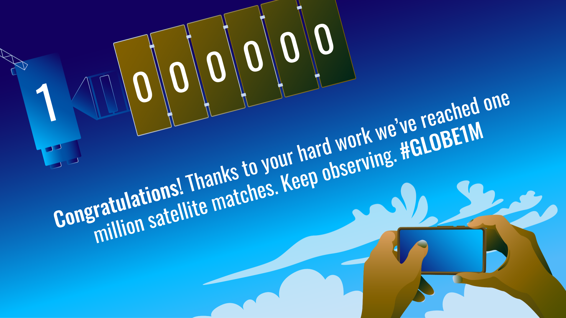
A NASA-sponsored program that pairs citizen scientist and student observations of clouds with satellite imagery just reached a major milestone — one million satellite matches.
The GLOBE (Global Learning and Observations to Benefit the Environment) Clouds arm of The GLOBE Program crossed the millionth-match threshold July 30. GLOBE Cloud observations are matched to observations from multiple satellites. People on the ground see bottom-up, satellites see top-down. When we have both perspectives, we call it a data match. Matching started in 2017.
The GLOBE Program, which is also supported by NSF, NOAA, and the U.S. Department of State, is an international science and education program that engages students and the public in data collection and the scientific process. Of the more than 50 environmental protocols students and the public can contribute to, GLOBE Clouds is the most popular.
“This milestone could not be achieved without citizen scientists. Cloud observations and sky photographs from people around the world matched to satellite data provides the research community a dataset with two distinct points of view that cannot be found anywhere else. This milestone is a celebration for the public, NASA and The GLOBE Program,” said Marilé Colón Robles, the NASA GLOBE Clouds lead at NASA’s Langley Research Center in Hampton, Virginia.
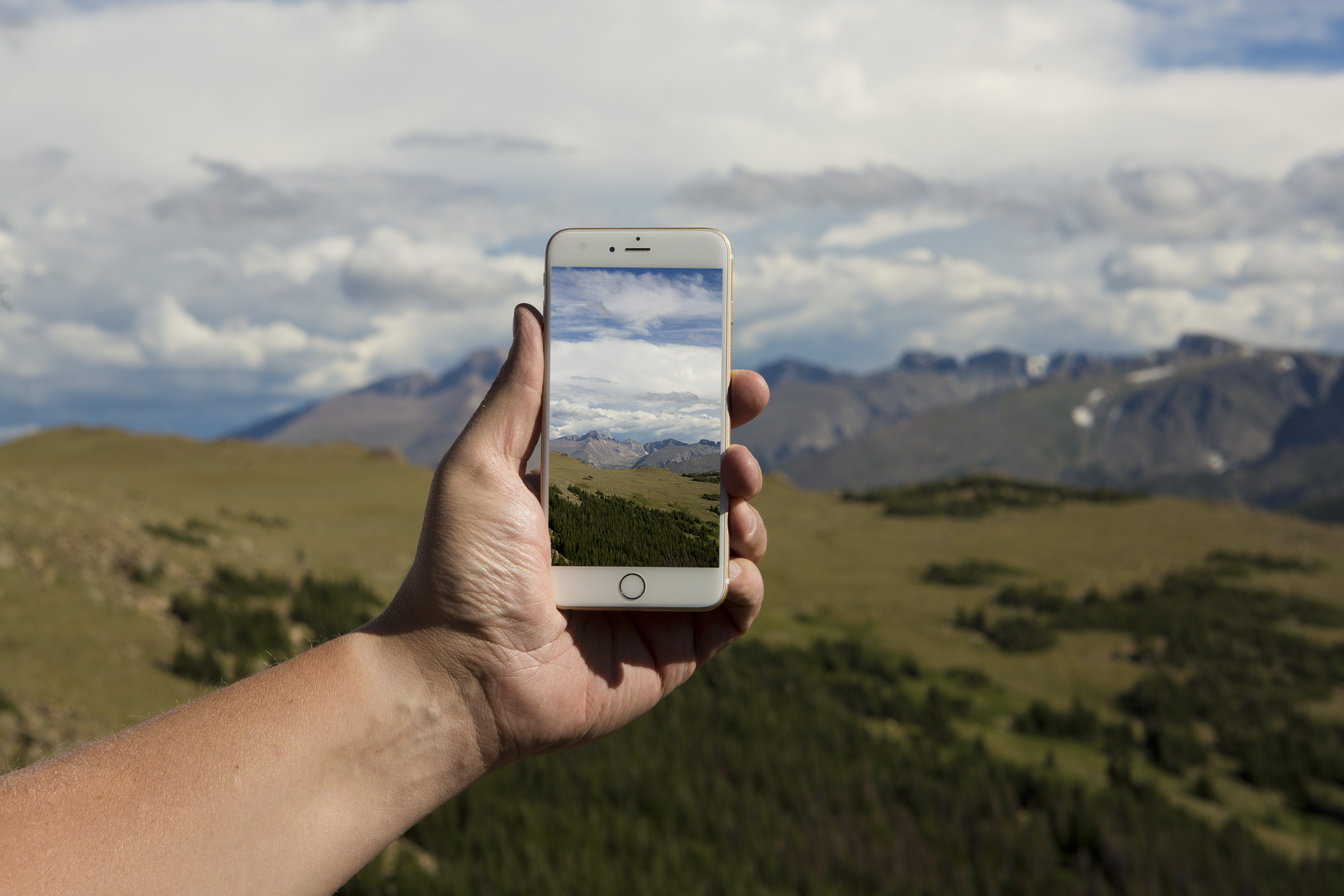
Citizen scientists can submit cloud observations via the GLOBE Observer app using the Clouds tool. If someone makes an observation within 15 minutes of a satellite flyover, the ground and satellite data are matched. Perhaps the clearest example of how GLOBE cloud observations can be useful is when there are thin, wispy cirrus clouds. Because those clouds are cold and white like snow, satellites can struggle to “see” them from above in the presence of snowy ground conditions.
The matches are complementary to the Clouds and the Earth’s Radiant Energy System (CERES) instruments on Aqua and Terra, which help scientists better understand the role clouds play in how the planet reflects and absorbs energy. The citizen science data also pairs well with imagery from the Geostationary Operational Environmental Satellite (GOES) weather satellites, which look at clouds and are important tools for NASA Langley’s Satellite Cloud and Radiative Property Retrieval System (SatCORPS) team. SatCORPS cloud data has applications that can improve predictions for everything from daily weather forecasts to keeping aircraft clear of dangerous conditions.
“We need accurate characterizations of clouds to improve weather and climate forecasts. Since clouds are very complex, we need observations from multiple vantage points — above, below and even from within. The combination of all these, including the GLOBE observations, provides the most comprehensive depiction of clouds that we need to advance our understanding of cloud processes and their effects,” said Bill Smith, an atmospheric scientist at Langley who is part of the SatCORPS team.
Because GLOBE Clouds has international reach, cloud observations and satellite matches come in from a breadth of people and locations from around the world. And it’s not just citizen scientists making observations — educators and their students make them as well.
Observations and matches may be pouring in from a naturalist in Kyoto, Japan who takes GLOBE Clouds observations as a way to connect with nature, or they may be coming in from a second grade classroom in Ogden, Utah, that’s making observations as an educational tool. When those observers submit observations that coincide with satellite observations, the GLOBE Clouds team sends them personalized emails with information on how the observations compared.
Researchers outside of NASA are also finding uses for the GLOBE Clouds data. As part of a program called the First-Year Innovation & Research Experience (FIRE) Cloud Computing, Dr. Alexandra Jones of the University of Maryland in College Park, Maryland, is working with students to train computers to identify cloud types based on photographs.
“The GLOBE Clouds database is a huge dataset that is ripe for applying image processing and machine learning tools. The fact that the images were taken by regular citizens from all over the world and are pictures of the sky make them very relatable and approachable. It takes away the intimidation factor,” said Dr. Jones. “So the value comes from the data being easy to access, large enough to apply interesting techniques, and relatable for students from all majors to understand and see the importance of.”
Here’s to a million more!
NASA sponsors the GLOBE Program with support from the National Oceanic and Atmospheric Administration, the U.S. Department of State and the National Science Foundation. The GLOBE Program’s app, GLOBE Observer, is a free smartphone and tablet app that allows people in the more than 125 GLOBE countries to make and submit cloud, mosquito habitat, land cover and trees observations from the palm of their hand. GLOBE is currently holding a Land Cover Challenge — “Land Cover in a Changing Climate” — that will last through Aug. 26.