


![Request for Information – Potential [Placeholder for Prize]](https://assets.science.nasa.gov/dynamicimage/assets/science/psd/solar/2023/09/s/solarsystem_0.jpg?w=1024)


Rain gauges are plentiful around the United States, but that’s not the case elsewhere in the world – particularly over oceans and sparsely populated areas. That means scientists and other data users have to rely on satellite measurements – such as those provided by NASA’s Global Precipitation Measurement (GPM) mission – to fill in the gaps.
The list of data users now includes the U.S. Air Force’s 557th Weather Wing. For the first time, the Air Force meteorology unit has integrated the Integrated Multi-satellite Retrievals for GPM (IMERG) algorithm into its operational weather forecasts and advisories.
“The IMERG precipitation data are an invaluable input to global land surface characterization capabilities, as well as input to numerical models,” said Maj. Kurtis A. Schubeck, chief of weather prediction and modeling strategy at the Headquarters Air Force Directorate of Weather.
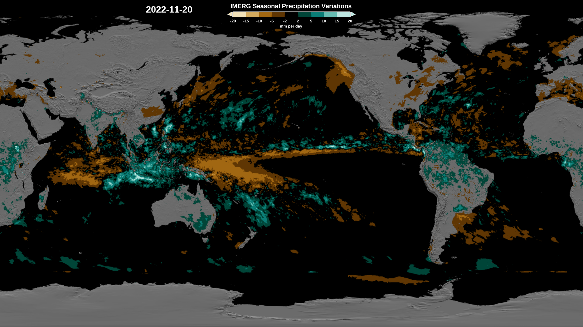
NASA’s IMERG product combines observations from a network of satellites affiliated with the GPM mission in order to estimate precipitation over most of Earth’s surface. Using a data blending technique, IMERG pieces together observations from several different satellites into one complete picture of global precipitation.
In some parts of the world, such as large sections of Africa, ground-based measurements of precipitation are minimal. That means estimates from satellite sources such as IMERG are sometimes the only way for the U.S. Air Force to obtain information on rainfall and precipitation in a region. IMERG allows precipitation estimates to be more comprehensive and available at near real-time intervals.
“IMERG is a one-stop shop for how much precipitation is falling around the world and, arguably, it’s one of the most accurate,” said Dr. Jerry Wegiel, principal investigator for the Department of Defense and Intelligence Community components of the NASA Land Information System.
Modeling tools managed by NASA and used by the Defense Department quantify how the global water cycle is changing based on information from remote sensing. Reliable estimates of rainfall and other precipitation are vital for allowing the modeling system to determine where the water will go – whether flowing into rivers, evaporating back into the atmosphere, or soaking into soils.
“Our land characterization estimates are critically reliant on precipitation inputs,” said Dr. Sujay Kumar, research physical scientist at NASA’s Goddard Space Flight Center in Greenbelt, Maryland, and principal investigator for the project. “Unless you have the right precipitation, you’re not going to be able to simulate downstream impacts on land surface states.”
With IMERG data now incorporated, the Air Force’s operational land surface models – which simulate changes in soil temperature, soil moisture, runoff, and snowpack across the globe in 10 km (6.2 mi) blocks – will have more accurate estimates. The DoD will now be able to better plan mobility movements using use more accurate hydrology and land-trafficability estimates.
“Incorporation of NASA data and algorithms within the Air Force weather forecasting represents an important demonstration of the value and quality of these data to support our federal partner’s operational requirements,” said Dr. Dalia Kirschbaum, director of the Earth Sciences Division at Goddard. “We look forward to continuing this engagement to providing key data to support and advanced our joint activities.”
By Erica McNamee
NASA’s Goddard Space Flight Center, Greenbelt, Md.