


Significant announcements:
28th September 2020
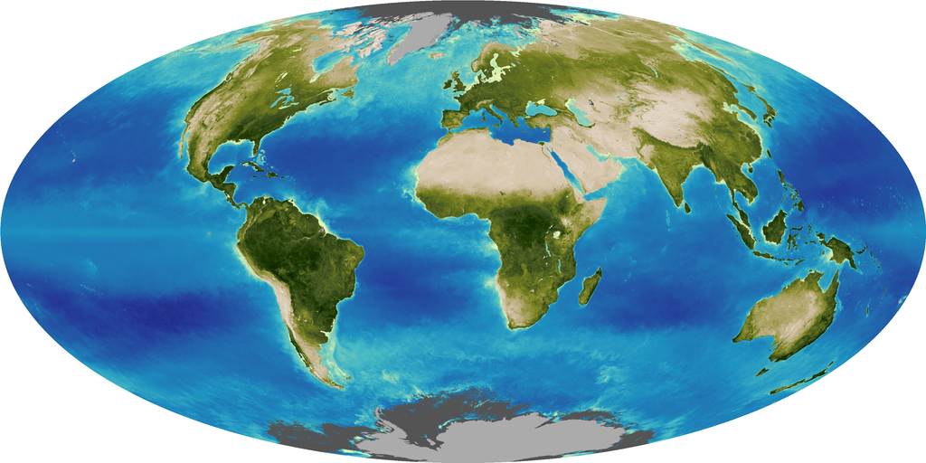
- OpenET was featured by SciTechDaily on 20 September 2020 – Following a NASA news story on 15 September 2020, the widely read online news channel SciTechDaily covered OpenET on 20 September 2020. OpenET uses best available science to provide easily accessible satellite-based estimates of evapotranspiration (ET) for improved water management across the western US. The OpenET platform is being developed through a unique public-private partnership with collaboration from scientists, farmers and water managers, as well as software engineers specializing in data access and visualization for large Earth observation datasets. In addition to helping Bay-Delta farmers save costs, OpenET data will improve water management in the area, according to Forrest Melton, program scientist for NASA’s Western Water Applications Office. He is also with the NASA Ames Research Center Cooperative for Research in Earth Science and Technology (ARC-CREST).
“Our water supplies in the West are crucial to providing food for the country and beyond, and yet these supplies are under increasing levels of stress,” Melton said. “OpenET will provide the data we need to address the challenge of water scarcity facing many agricultural regions around the world and ensure we have enough water for generations to come.”
Link (20 Sep): https://scitechdaily.com/openet-transforming-water-management-in-the-u-s-west-with-nasa-data/
Link (15 Sep): https://www.nasa.gov/feature/transforming-water-management-in-the-us-west-with-nasa-data - NASA Ames is in Stage 3 in the NASA Response Framework to pandemics – Staff are continuing work with adjustments in work style, focus and schedules due to the COVID-19 distancing protocols. ESPO-managed NASA airborne missions and other programs and projects at Ames are experiencing major schedule delays due to COVID-19. Ames Earth Science Division staff are focusing on data analysis, publications/proposals/reports writing, and computer-aided design work. The division is actively engaged with the directorate/center and with HQ on identifying mission-critical research and activities and is preparing return-to-onsite-work (RToW) implementation plans.
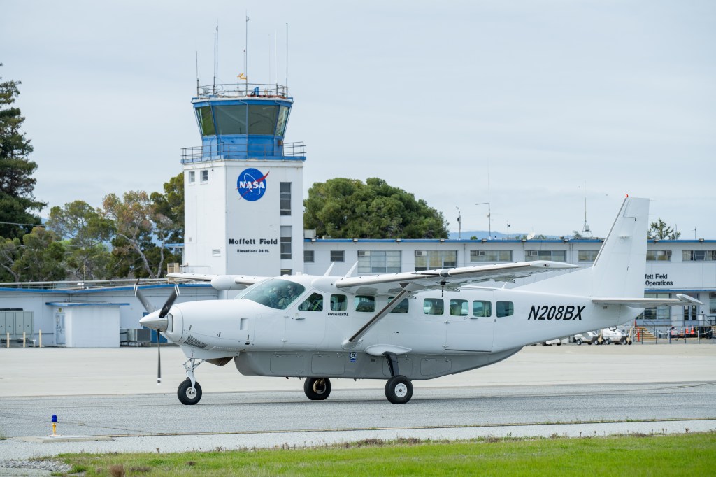
The Sub-Mesoscale Ocean Dynamics Experiment (S-MODE) Earth Venture Suborbital-3 (EVS-3) investigation managed by ESPO, recently delayed from this fall until spring 2021, received approval to RToW from Ames (https://espo.nasa.gov/s-mode/content/S-MODE).
Instrument payload development activities at Ames for the Asian Summer Monsoon Chemical and Climate Impact Project (ACCLIP) also received approval this week to proceed with RToW in preparation for the field campaign now planned for summer 2021 in South Korea.
21st September 2020
- A 9 September 2020 NASA Earth Observatory web feature, entitled “Historic Fires Devastate the U.S. Pacific Coast”, highlights the use of NASA Earth Observations (EO) systems and other tools to support wildfire science and management scenarios – Vince Ambrosia (Assoc. Program Manager—Wildfires, NASA Applied Science Program (CSUMB / ARC-CREST)) contributed and provided insight into the current EO capabilities in use and emerging technologies to improve the timeliness and observational parameters of wildfires in the western U.S.
Link: https://earthobservatory.nasa.gov/images/147277/historic-fires-devastate-the-us-pacific-coast - Forrest Melton participated in a news story published on 15 September 2020, entitled, “Transforming Water Management in the U.S. West with NASA Data.” – The OpenET platform is being developed through a unique collaboration of scientists, farmers and water managers from across the western United States, as well as software engineers specializing in data access and visualization for large Earth observation datasets. In addition to helping Delta farmers save costs, OpenET data will improve water management in the area, according to Forrest Melton, program scientist for NASA’s Western Water Applications Office. He is also with the NASA Ames Research Center Cooperative for Research in Earth Science and Technology (ARC-CREST).
“Our water supplies in the West are crucial to providing food for the country and beyond, and yet these supplies are under increasing levels of stress,” Melton said. “OpenET will provide the data we need to address the challenge of water scarcity facing many agricultural regions around the world and ensure we have enough water for generations to come.”
Link: https://www.nasa.gov/feature/transforming-water-management-in-the-us-west-with-nasa-data - NASA Ames is in Stage 3 in the NASA Response Framework to pandemics – Staff are continuing work with adjustments in work style, focus and schedules due to the COVID-19 distancing protocols. ESPO-managed NASA airborne missions and other programs and projects at Ames are experiencing major schedule delays due to COVID-19. Ames Earth Science Division staff are focusing on data analysis, publications/proposals/reports writing, and computer-aided design work. The division is actively engaged with the directorate/center and with HQ on obtaining “mission-critical” designation from HQ for a number of select facilities and activities and has begun preparing return-to-onsite-work implementation plans.
The Sub-Mesoscale Ocean Dynamics Experiment (S-MODE) Earth Venture Suborbital-3 (EVS-3) investigation managed by ESPO, recently delayed from this fall until spring 2021, received approval to return to onsite work from Ames:
Link: https://espo.nasa.gov/s-mode/content/S-MODE - European Union Irrigation Management Service (EU-IMS) project was selected as a finalist for the Copernicus Master’s prize competition, and was awarded 2nd place – The EU-IMS concept was developed through a collaboration between Dr. Pietro Campana of Mälardalen University in Sweden, Dr. Jie Zhang of Uppsala University (and formerly part of the NASA Harvest team), Forrest Melton of NASA ARC, and Dr. Tomas Landelius of Swedish Meteorological and Hydrological Institute in Sweden.
- NASA Applied Remote Sensing Training (ARSET) recently completed a record-breaking online training titled Remote Sensing of Coastal Ecosystems – This introductory-level, three-part training series was offered in both English and Spanish. Topics covered included satellites and sensors used for ocean color and shallow water ecosystem characterization, identification of water column components, water column corrections, and remote sensing of shorelines and beaches. Juan Torres-Pérez led the training with assistance from Amber McCullum. In attendance were 2,933 participants from 114 countries and 42 US states. Around 1,900 unique organizations were represented.
Link: https://appliedsciences.nasa.gov/join-mission/training/english/remote-sensing-coastal-ecosystems - Amber McCullum and Carl McClellan (Navajo Nation Department of Water Resources) secured funding from the S.D. Bechtel, Jr. Foundation for continued development of the Drought Severity Evaluation Tool (DSET), as well as expansion of the partnership to use remotely sensed Evapotranspiration (ET) data from OpenET – This project will begin in early FY21 and will continue to sustain the relationship with NASA and the Navajo Nation through the co-development of satellite-based water management tools, capacity building, and an internship opportunity for a student within the Dine community. The funding will also support continued transition to operations from NASA to the Navajo Nation.
DSET: https://app.climateengine.org/dset
ET: https://openetdata.org/
14th September 2020
- Vince Ambrosia was prominently featured in an Earth Observatory story on California’s wildfires:
“’The fire management community utilizes . . . thermal-infrared sensor data on satellites and airborne platforms, to quickly identify fire hot spots for indicating where fires are burning,’ said Vince Ambrosia, a CSUMB scientist working at NASA’s Ames Research Center, and associate program manager for wildfires in NASA’s Earth Science Applied Sciences Program . . . ‘All these events were lightning-caused and burning in remote Mediterranean-ecosystem shrub and forested regions,’ Ambrosia said. ‘The August Complex continues to spread aggressively, while the fire complexes further south have slowed their advancement.’ . . .
“’The lightning-caused wildfire events seen in Northern California were the result of the perfect storm,’ Ambrosia said, including a large dry-lightning event across the entire area, windy conditions, and lingering drought. The situation was made worse by historic heat that gripped the U.S. West, which caused further drying of drought-stressed vegetation. The heatwave is not over. Forecasters called for air temperatures to climb above 100 degrees Fahrenheit in California’s Central Valley over the Labor Day weekend and into the second week of September.’
“’Many of the areas that have burned, including the August Complex Fire area, have experienced higher fuel loads due to the absence of periodic fires in those areas,’ Ambrosia said, “which combined with the aforementioned variables contributed to more intense wildfire spreading.’”
Link: https://earthobservatory.nasa.gov/images/147215/california-continues-to-burn?src=eoa-iotd - NASA Ames is in Stage 3 in the NASA Response Framework to pandemics – Staff are continuing work with adjustments in work style, focus and schedules due to the COVID-19 distancing protocols. ESPO-managed NASA airborne missions and other programs and projects at Ames are experiencing major schedule delays due to COVID-19. Ames Earth Science Division staff are focusing on data analysis, publications/proposals/reports writing, and computer-aided design work. The division is actively engaged with the directorate/center and with HQ on obtaining “mission-critical” designation from HQ for a number of select facilities and activities and has begun preparing return-to-onsite-work implementation plans.
The Sub-Mesoscale Ocean Dynamics Experiment (S-MODE) Earth Venture Suborbital-3 (EVS-3) investigation managed by ESPO, recently delayed from this fall until spring 2021, received approval to return to onsite work from Ames:
Link: https://espo.nasa.gov/s-mode/content/S-MODE - Thomas Zurbuchen tweeted on 5 September 2020 about newly funded COVID-19-related research in SMD, including Chris Potter’s recently funded research project on urban heat island effect changes due to less cars in city parking lots. Administrator Bridenstine in his weekly email update on 8 Sep referred to these new projects as well.
Link: https://www.nasa.gov/feature/esd/2020/new-projects-explore-connections-between-environment-and-covid-19 - Christopher Potter is mentoring two new virtual NASA interns, one sponsored by the Minority University Research and Education Project and the other by the National Space Grant Foundation. – These Master’s level students from California State University Long Beach and Montana State University are updating and applying the NASA-CASA global carbon cycle model using the ArcPro spatial analysis interface. The interns will be issued NASA laptop computers to login remotely to compute servers at Ames for model runs and analysis of results at regional to global scales.
7th September 2020
- Airborne Sensor Facility lab manager, Jeff Myers has retired – The Ames Airborne Sensor Facility (ASF) supports the Earth Observing System Program as well as the Airborne Science Program; their lab manager Jeff Myers has retired after more than 40 years of service to NASA as a contractor. He supported ASF from the lab’s inception flying instruments and handling data collected aboard the NASA ER-2 and C-130. Under Jeff’s leadership the Airborne Sensor Facility played a foundational role in the Earth Observing System (EOS) Program by flying calibrated airborne satellite simulators for several flagship EOS missions. The team also supported next generation instrument testbeds and IT networks aboard the NASA Ikhana and Global Hawk remotely piloted aircraft. Mr. Myers was recently awarded the NASA Exceptional Public Service Medal for his dedication and service to NASA Earth Science. His wit and wisdom will be missed by his colleagues.
- A science news article in the San Francisco Chronicle, entitled “Wildfire Spotting Goes High Tech: Can Silicon Valley Save Northern California?”, highlights the use of NASA Earth Observations (EO) systems and other tools to support wildfire science and management scenarios on 31 August 2020 – Vince Ambrosia (Associate Program Manager, Wildfires, NASA Applied Sciences Program (CSUMB / ARC-CREST)) was interviewed for the article and provided insight into the current EO capabilities in use, and emerging technologies to improve the timeliness and observational parameters of wildfires, specifically to support the wildland fire management communities in early detection, active fire monitoring and post-fire recovery and rehabilitation efforts.
Link: https://www.sfchronicle.com/california-wildfires/article/Wildfire-spotting-goes-high-tech-Can-Silicon-15523594.php - NASA Ames is in Stage 3 in the NASA Response Framework to pandemics – Staff are continuing work with adjustments in work style, focus and schedules due to the COVID-19 distancing protocols. ESPO-managed NASA airborne missions and other programs and projects at Ames are experiencing major schedule delays due to COVID-19. Ames Earth Science Division staff are focusing on data analysis, publications/proposals/reports writing, and computer-aided design work. The division is actively engaged with the directorate/center and with HQ on obtaining “mission-critical” designation from HQ for a number of select facilities and activities and has begun preparing return-to-onsite-work implementation plans.
This week, although the campaign has now been delayed from this fall until spring 2021, the Sub-Mesoscale Ocean Dynamics Experiment (S-MODE) Earth Venture Suborbital-3 (EVS-3) investigation managed by ESPO received approval to return to onsite work from Ames:
Link: https://espo.nasa.gov/s-mode/content/S-MODE
Also this week, the Office of Communications published a story about newly funded COVID-19-related investigations, highlighting Chris Potter’s research project on “fewer cars might mean hotter surfaces”.
Link: https://www.nasa.gov/feature/esd/2020/new-projects-explore-connections-between-environment-and-covid-19 - Thomas Vandal received the DeepSpatial’20 Best Spotlight Presentation Award at SIGKDD ’20 – This award acknowledges the high-quality presentation given on 24 August 2020, recorded for the workshop. His paper, “Temporal Interpolation of Geostationary Satellite Imagery with Task Specific Optical Flow” was co-authored by Ramakrishna Nemani.
The presentation is available to watch here: https://drive.google.com/file/d/10uTfgB-_aSBAy01VCKKNgXguW_zv3TIH/view?usp=sharing - Christopher Potter participated on 26 August 2020 as a volunteer driver for the Santa Clara University’s Department of Environmental Sciences “Heat Watch” campaign in Santa Clara County – The one-day campaign was carried out by over 50 volunteers who drove pre-planned routes with GPS-enabled air temperature and humidity sensors mounted on their vehicle window. The same 1-hour routes were driven starting at 6 AM, 3 PM, and 7 PM to assess the diurnal heating cycle at one-second measurement intervals across most major South Bay streets. This campaign will generate high-resolution maps of air temperature to help the local cities to prepare for increasing risk and exposure to extreme heat. Potter will use the surface temperature maps from “Heat Watch” campaigns for Oakland, Berkeley, and Santa Clara County as “ground-truth” data sets to compare and validate both Landsat and ECOSTRESS surface temperature products collected for those cities during the same weeks. More details on this community science campaign are available at:
Link: https://www.sanjoseca.gov/your-government/departments-offices/environmental-services/urban-heat-island-campaign