


![Request for Information – Potential [Placeholder for Prize]](https://assets.science.nasa.gov/dynamicimage/assets/science/psd/solar/2023/09/s/solarsystem_0.jpg?w=1024)


Atmospheric Science Branch
The Atmospheric Science Branch at NASA’s Ames Research Center conducts cutting-edge research to advance understanding of the structure, composition, and dynamic behavior of Earth’s atmosphere—and how these processes affect climate, air quality, agricultural water use and production, and life on our planet. The branch supports NASA missions through scientific analysis, calibration and validation activities, and campaign leadership, with a focus on atmospheric profiling, boundary layer dynamics, cloud-aerosol interactions, and trace gas transport.
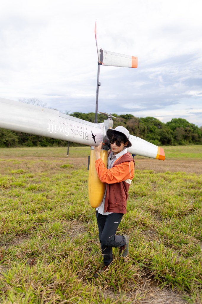
Branch scientists lead major airborne science campaigns and advance satellite mission readiness by developing and deploying novel sensors, conducting field measurements, and analyzing atmospheric data. As a hub for hardware innovation and instrument invention, the branch is pioneering next-generation lidar systems, sunphotometers, and quantum-enhanced remote sensing technologies—pushing the boundaries of what is measurable and enabling new frontiers in Earth and planetary exploration.
Through its contributions to scientific missions, technology development, and the expansion of exploratory capabilities, the Atmospheric Science Branch directly supports the exploration goals of NASA’s Science Directorate—delivering knowledge to guide climate resilience, inform air quality and wildfire response, and enable the next generation of remote sensing missions across Earth and the solar system.
Branch Chief
Charles Gatebe
Meet the Team
The strength of the Atmospheric Science Branch lies in its people – scientists, engineers, and technical staff who lead field campaigns, develop breakthrough technologies, and turn atmospheric data into knowledge that helps protect our planet and communities.
Learn More
Satellite Missions:
The Atmospheric Science Branch (SGG) leads and contributes to a range of NASA missions, field campaigns, and technology development efforts that support atmospheric research, satellite validation, and next-generation exploration. Below is a spotlight on some of our current high-impact projects:
INSPYRE
Injected Smoke and Pyrocumulonimbus Experiment (INSPYRE)
The Meteorological Measurement System (MMS) team—led by Ju-Mee Ryoo—is part of NASA’s INjected Smoke and PYRocumulonimbus Experiment (INSPYRE).
MMS will provide critical atmospheric state measurements, including wind, temperature, pressure, and humidity, to help constrain the physical processes that link extreme wildfire behavior to pyroCb formation and vertical smoke transport.
The campaign will test the hypothesis that increasing wildfire size and intensity—driven by climate warming—will amplify pyroCb activity, leading to deeper and more frequent smoke injections into the stratosphere. INSPYRE builds on the branch’s longstanding expertise in airborne measurement and climate-relevant trace gas dynamics and represents a vital contribution to NASA’s efforts to monitor, understand, and respond to Earth system change.
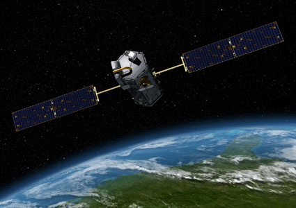
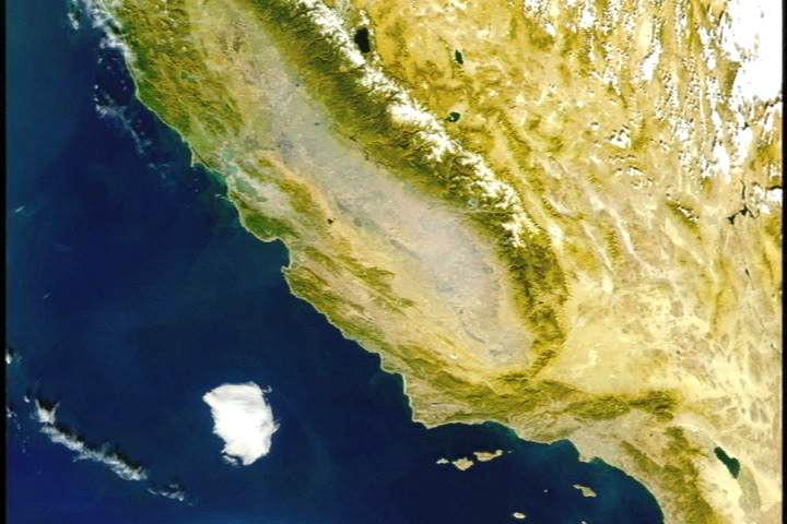
OCO-2 & OCO-3
Orbiting Carbon Observatory-2 and -3 (OCO-2 and OCO-3, respectively)
Biospheric science branch researcher Matthew Johnson plays a key role in the OCO-2/3 Flux Science Team by providing global/regional flux results from the assimilation of this NASA data into the Ames CO2 model.
Suborbital Missions
The Atmospheric Science Branch (SGG) leads and contributes to a range of NASA missions, field campaigns, and technology development efforts that support atmospheric research, satellite validation, and next-generation exploration. Below is a spotlight on some of our current high-impact projects:
Ozone Where We Live (OWWL)
This citizen-science–driven project engages San Joaquin Valley residents and civilian pilots to deploy low-cost ozone and air pollutant sensors. Volunteers place sensors at homes, schools, libraries—or fly them aboard small aircraft—to collect ground-level ozone data in real time. The data are shared via CCAC’s SJVAir online map, empowering communities with actionable air quality <a href="https://www.nasa.gov/ozone-where-we-live/">insights</a>.
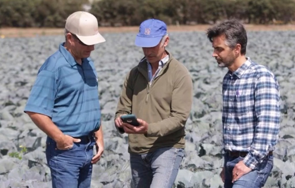
OpenET: Ranch Management Support (FARMS) Tool
The OpenET initiative delivers satellite-derived evapotranspiration (ET) data at fine, field-level resolution to empower better water management across the western United States. Its latest evolution, the FARMS (Farm and Ranch Management Support) tool, enables small-scale farmers and ranchers to access timely, actionable water-use insights via a mobile-friendly, <a href="https://www.nasa.gov/centers-and-facilities/ames/ames-science/farming-with-data-openet-launches-new-tool-for-farmers-and-ranchers/">map-based interface.</a>

FarmFlux
Reem Hannun’s FarmFlux EVS-4 proposal was selected to field the Rapid Ozone Experiment (ROZE) instrument for measuring ozone fluxes. Hannun helped develop this high-precision ozone sensor as part of ongoing efforts to study air quality and land-atmosphere exchange.
FARMing with Data: OpenET Launches new Tool for Farmers and Ranchers
A NASA and U.S. Geological Survey (USGS)-supported research and development team is making it easier for farmers and ranchers to…
Read the Story
Additional Projects and Programs
NASA Earth Exchange (NEX)
The NASA Earth Exchange (NEX) combines state-of-the-art supercomputing, Earth system modeling, and NASA remote sensing data feeds to deliver a work environment for exploring and analyzing terabyte- to petabyte-scale datasets covering large regions, continents, or the entire globe.
DEVELOP
DEVELOP projects are run at NASA ARC and coordinated by researchers in the Biospheric Science Branch. DEVELOP participants work closely with science advisors in the Earth Science Division to apply Earth observations to address real-world problems. This allows DEVELOP participants to build both research and science communication skills to help set them up for success in the workforce.
ARSET
Biospheric science branch personnel Juan Torres-Pérez, Justin Fain and Sativa Cruz lead the Applied Remote Sensing Training Program (ARSET) Ecological Conservation Thematic Area. They provide online and in-person trainings on the use of NASA Earth Observations and remote sensing technologies for various terrestrial and aquatic applications including land cover and land use change detection, vegetation and aquatic indices, monitoring coastal and marine ecosystems, and biodiversity management.

Disaster Response Coordination System (DRCS)
Ames is a participating center in NASA’s Disaster Response Coordination System (DRCS). These activities at Ames are co-led by the biospheric and atmospheric science branches, who maintain dedicated coordinators in the Earth Sciences Division to actively monitor for disaster threats, network with emergency management agencies, and connect Ames’ Earth Observation experts with emergency responders during disaster response situations.

Earth Science Digital Twins
Biospheric science branch researchers Matthew Johnson, Jia Jung, Justin Fain, Weile Wang, Jessca McCarty are working with NASA’s Land Cover Land Use Change (LCLUC) Science Team to develop NASA Land Earth Science Digital Twins (L-ESDT). The goal of this Digital Twins model is to better understand the impact of LCLUC on weather and climate.