


Receiving AVIRIS-3 Data
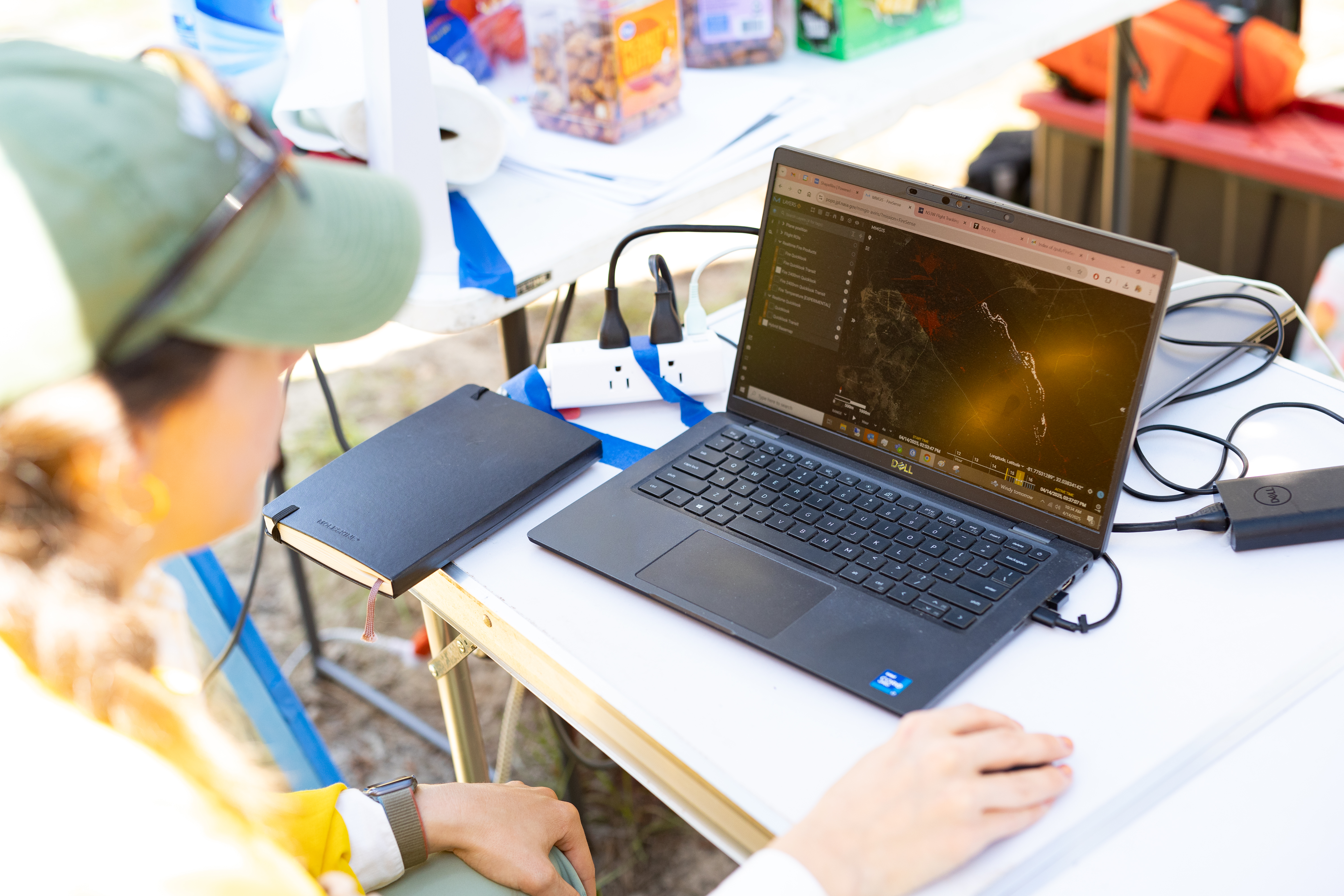
Katherine Mistick, Geospatial Research Associate at the University of Utah, receives near real-time data from the NASA JPL AVIRIS-3 instrument as it flies over a prescribed burn at Fort Stewart-Hunter Army Airfield in Georgia. AVIRIS-3, which stands for Airborne Visible and InfraRed Imaging Spectrometer 3, provides near real-time data during wildfire incidents to map exact burn perimeters, identify active firelines, and find hotspots. This prescribed burn occurred in April 2025 as part of a NASA FireSense research campaign.
Image Credit: NASA/Milan Loiacono
- X
https://www.nasa.gov/image-detail/milanloiacono-firesensefortstewart-04-2025-2070/
Image CreditNASA/Milan Loiacono
Size6000x4000px