


GPS Marker
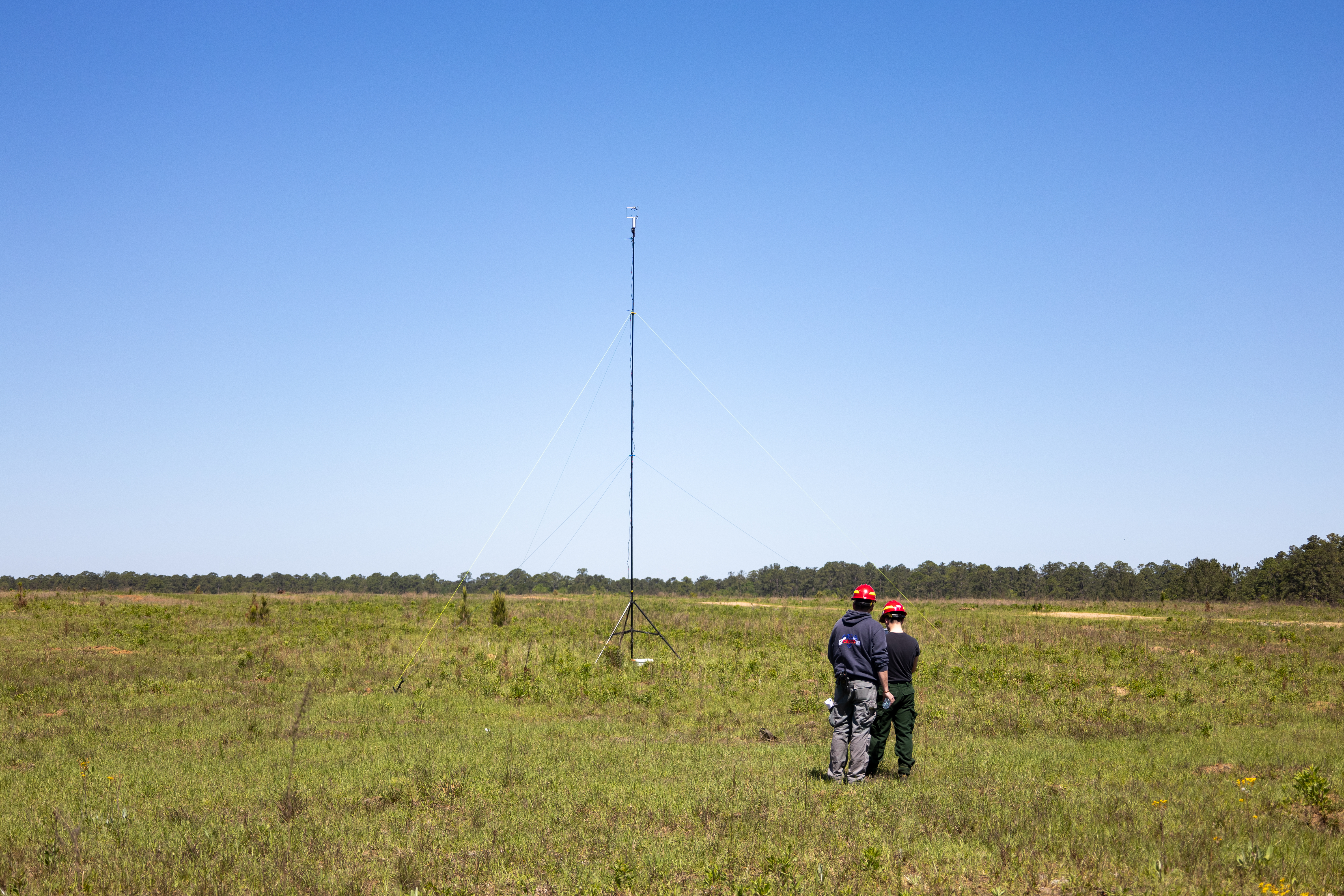
Matthew Patterson and William Wall check the GPS marker for the mounted sonic anemometer the team just set up ahead of a prescribed burn at Fort Stewart-Hunter Army Airfield in Georgia. The team placed anemometers upwind and downwind of the fire to measure wind speed, direction, and turbulence as part of a larger effort to understand how wind affects fire patterns. The three researchers were part of the U.S. Forest Service Fire Behavior team during the April 2025 FireSense campaign.
Image Credit: NASA/Milan Loiacono
- X
https://www.nasa.gov/image-detail/milanloiacono-firesensefortstewart-04-2025-0499/
TakenApril 13, 2025
Image CreditNASA/Milan Loiacono
Size6000x4000px