


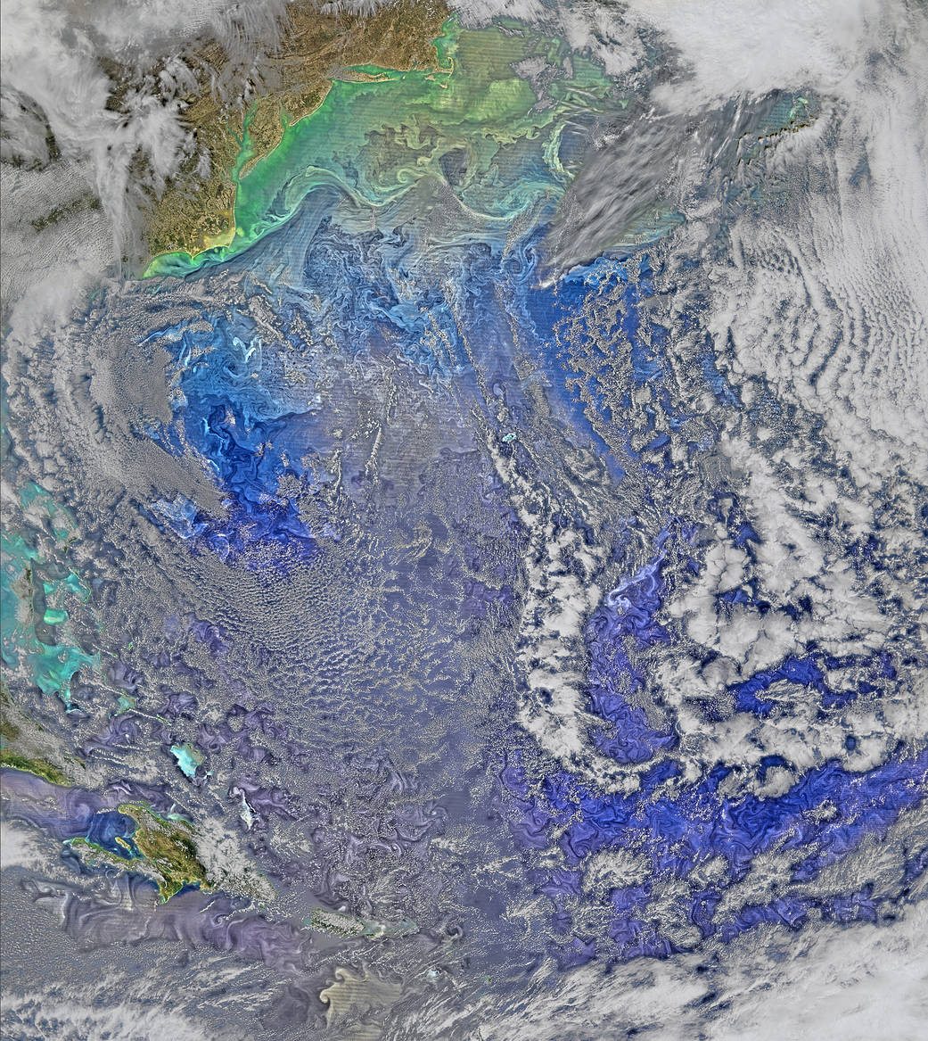
The Gulf Stream waters flow in somewhat parallel layers, slicing across what is otherwise a fairly turbulent western North Atlantic Ocean in this March 9, 2016 image collected by the Visible Infrared Imaging Radiometer Suite on NASA-NOAA's Suomi NPP satellite. The turbulence is made visible by the pigmented phytoplankton it entrains.
The Gulf Stream waters flow in somewhat parallel layers, slicing across what is otherwise a fairly turbulent western North Atlantic Ocean in this March 9, 2016 image collected by the Visible Infrared Imaging Radiometer Suite on NASA-NOAA’s Suomi NPP satellite. The turbulence — made visible by the pigmented phytoplankton it entrains — extends across the whole North American Basin from Anegada to Bermuda to Cape Cod.
Image Credit: NASA/Ocean Biology Processing Group, NASA Goddard Space Flight Center