


This image of early ice breakup of the Beaufort Sea, north of Alaska, was taken by the Suomi NPP satellite's Visible Infrared Imaging Radiometer Suite (VIIRS) instrument infrared channel, at around 1148 UTC on April 13, 2016.
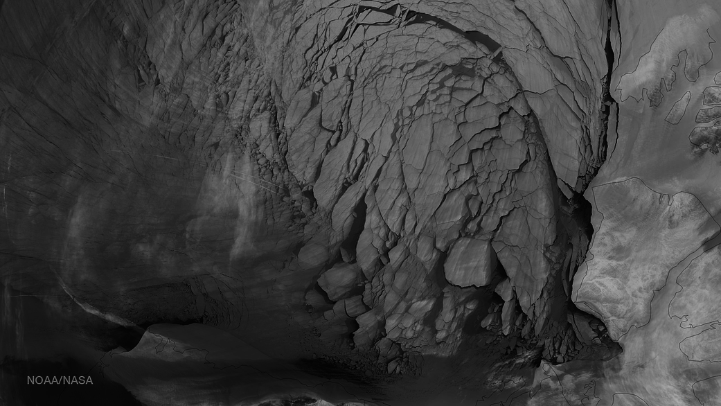
This image of early ice breakup of the Beaufort Sea, north of Alaska, was taken by the Suomi NPP satellite’s Visible Infrared Imaging Radiometer Suite (VIIRS) instrument infrared channel, at around 1148 UTC on April 13, 2016.
Every year, the cap of frozen seawater floating on top of the Arctic Ocean and its neighboring seas melts during the spring and summer and grows back in the fall and winter months, reaching its maximum yearly extent between February and April. On March 24, Arctic sea ice extent peaked at 5.607 million square miles (14.52 million square kilometers), a new record low winter maximum extent in the satellite record that started in 1979.
Image Credit: NOAA/NASA