GPS and PNT Policy
NASA’s Space Communication and Navigation (SCaN) program leads in the development of NASA’s overall navigation capability through spectrum coordination, data standards development, external coordination, and appropriate systems engineering, architecture development, and research and development of applications. SCaN also manages and protects NASA’s GPS equities through policy development and advocacy.

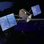
Global Positioning System
History, Use, and Future of GPS at NASA
NASA’s mission to pioneer the future in space exploration, scientific discovery, and aeronautics research necessitates the proactive development and implementation of a number of GPS applications, to enable greater spacecraft autonomy and more advanced space science and Earth monitoring applications.
Read More
Defining the “N” in SCaN
SCaN leads in the development of NASA’s overall navigation capability from spectrum coordination to architecture development.
SCaN’s navigation role includes committing NASA to a single, unified space communications and navigation architecture, maintaining a catalog of current navigation capabilities, and promoting new GPS technologies while protecting legacy GPS investments. SCaN engages in both national and international activities in order to ensure NASA’s navigation assets are protected.
Read More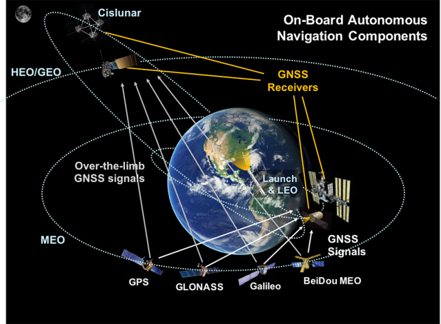
The Interoperable Space Service Volume
Global Navigation Satellite Systems (GNSS), including the U.S. Global Positioning System (GPS), were designed to provide positioning, navigation, and timing (PNT) services to users on land, sea, and in the air. Now, they are also being used in space, for applications including real-time spacecraft navigation, timing, and scientific observations. In Low Earth Orbit (LEO), where most space users reside, GNSS signal reception is similar to that on Earth’s surface. But, there is an increasing number of users in higher orbits as well, in what is known as the Space Service Volume (SSV).
Read More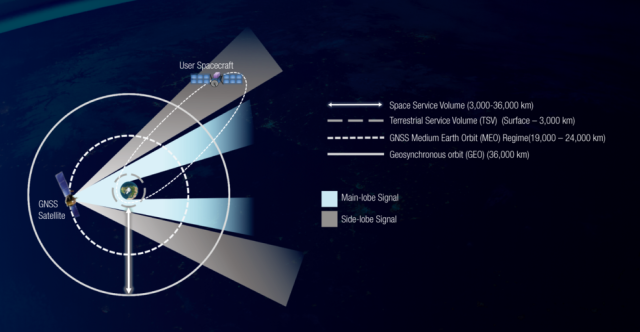
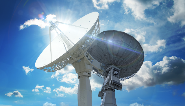
Space Communications and Navigation (SCaN)
Exploration, enabled.
NASA’s Space Communications and Navigation program, or SCaN, serves as the program office for all of NASA’s space communications activities. Presently enabling the success of more than 100 NASA and non-NASA mission, SCaN manages and directs the ground-based facilities and services provided by the Deep Space Network and the Near Space Network, including the Tracking and Data Relay Satellite system.
Read More