


Audience
Educators
Grade Levels
Grades K-4
Subject
Earth Science, Geography
Type
Lesson Plans / Activities
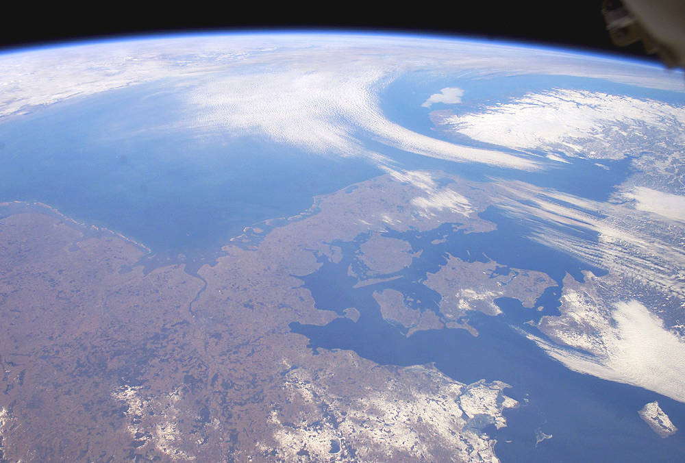
Students will practice developing and using models to explore and identify landforms and bodies of water. They will identify a map as a type of model, name several landforms and bodies of water, describe several landforms and bodies of water and locate landforms and bodies of water on a map.
This lesson plan includes teacher and student pages, pre/post assessments and a slideshow presentation.
Next Generation Science Standards: ESS2.C