Spot the Station
The Spot the Station mobile app is an official NASA app that helps users track and receive notifications for International Space Station viewings as it passes over their respective location. It also provides real-time tracking, flyover schedules, and alerts.
orbits each day
orbit inclination
The mobile app is available worldwide and in multiple languages, providing viewing information for most inhabited locations to spot the International Space Station as it passes overhead.
Track the Space Station
Download the App

Frequently Asked Questions
Read through NASA’s frequently asked questions about the agency’s official Spot the Station mobile app that helps users track and receive notifications for International Space Station viewings.
Learn More about Frequently Asked Questions

How do I spot the International Space Station?
Time is when the sighting opportunity will begin in the local time zone of a user’s preferred location. All International Space Station sightings will occur within a few hours before or after sunrise or sunset. This is the optimum viewing period as the Sun reflects off the space station and contrasts against the darker sky.
Above the Horizon is the amount of time the space station is visible before crossing back below the Earth’s horizon.
Maximum Height is measured in degrees (also known as elevation). It represents the height of the space station from Earth’s horizon. The horizon is at zero degrees, and directly overhead is 90 degrees.
Appears is where the space station will be visible first. This value, like maximum height, also is measured in degrees from the horizon. The letters represent compass directions.
Disappears represents the location where the space station will leave a user’s field of view.
The space station orbits with an inclination of 51.6 degrees. This means that, as it orbits, the farthest north and south of the equator it will go is 51.6 degrees latitude. If a user’s preferred location is north or south of 51.6 degrees, the station will never go directly overhead, this includes places like Alaska. The app may not properly inform users of all visible station passes in these locations. The app provides a list of all possible space station viewing opportunities for a user’s preferred location under the “Next Sighting(s) List” located on the homepage.
The space station appears similar to an airplane or a very bright star moving across the night sky, except it does not have flashing lights or change direction. It also moves faster than a typical airplane (airplanes fly at about 600 mph (965 kph); the space station flies at 17,500 mph (28,000 kph)).
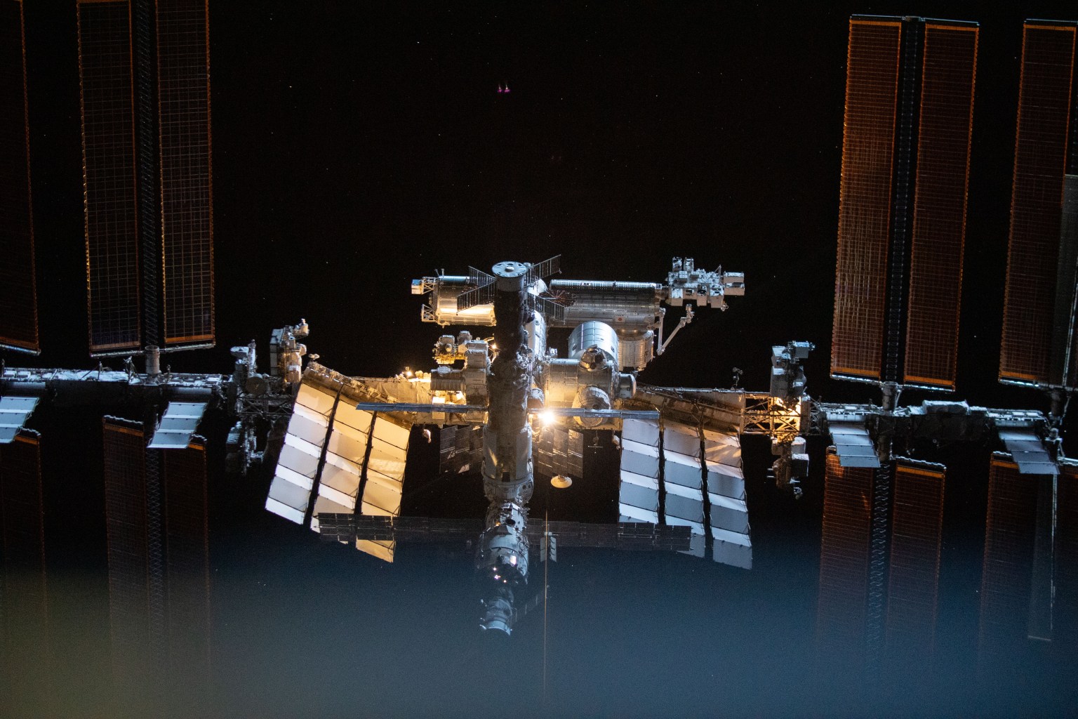
International Space Station
The International Space Station is a convergence of science, technology, and human innovation that enables research not possible on Earth for the benefit of humanity. For over 25 years, NASA has supported a continuous U.S. human presence aboard the station, through which astronauts have learned to live and work in space for extended periods of time.
Learn More about International Space Station

International Space Station Trajectory Data
NASA’s flight controllers in the International Space Station Mission Control Center at the agency’s Johnson Space Center in Houston generate the space stations trajectory data as passes over Earth at 17,500 miles per hour. The flight controllers, or International Space Station Trajectory Operations and Planning Officer, track the station’s current location, course, and potential collisions risks with other objects in orbit.
At the station’s altitude, the thin atmosphere of Earth creates drag and can cause the projected trajectory to accumulate minor errors. To track the most accurate course, flight controllers update the data on the station’s trajectory approximately three times a week. An accurate trajectory is essential for maintaining communications links and planning visiting spacecraft rendezvous.
NASA provides the station’s current trajectory data for public use within the Consultative Committee for Space Data Systems standard. The Orbit Ephemeris Message is available in .txt and .xml formats and contains header lines with the space station’s mass in kilograms, drag area in meters squared, drag coefficient, and a list of upcoming station maneuvers, and spacecraft launches, arrivals, and departures. Each file also includes details for the first and last ascending nodes, the point where the station’s orbit crosses the Earth’s equator moving from south to north.
The station’s state vectors in the mean of J2000 reference frame are listed at four-minute intervals spanning a total length of 15 days. During reboosts, the state vectors are reported in two-second intervals. Each state vector lists the time in Coordinated Universal Time; position x, y, and z in kilometers per second; and velocity x, y, and z in kilometers per second.
Users of this data should monitor this page for additional information or changes to the file format. Past data is archived on data.nasa.gov and found by searching “ISS COORDS.”
NASA provides this information for use by the public. The mobile application’s open-source code enables anyone to modify and use the code for their projects and support the tool’s growth. The Orbit Ephemeris Message data format is supported natively by many commercial spaceflight software applications. Please consult the application’s support documentation for specific details on how to deploy this data.
Spot the Station
From the International Space Station, NASA astronaut Loral O’Hara and ESA (European Space Agency) astronaut Andreas Mogensen explain how to use the Spot the Station mobile app.
Watch Now