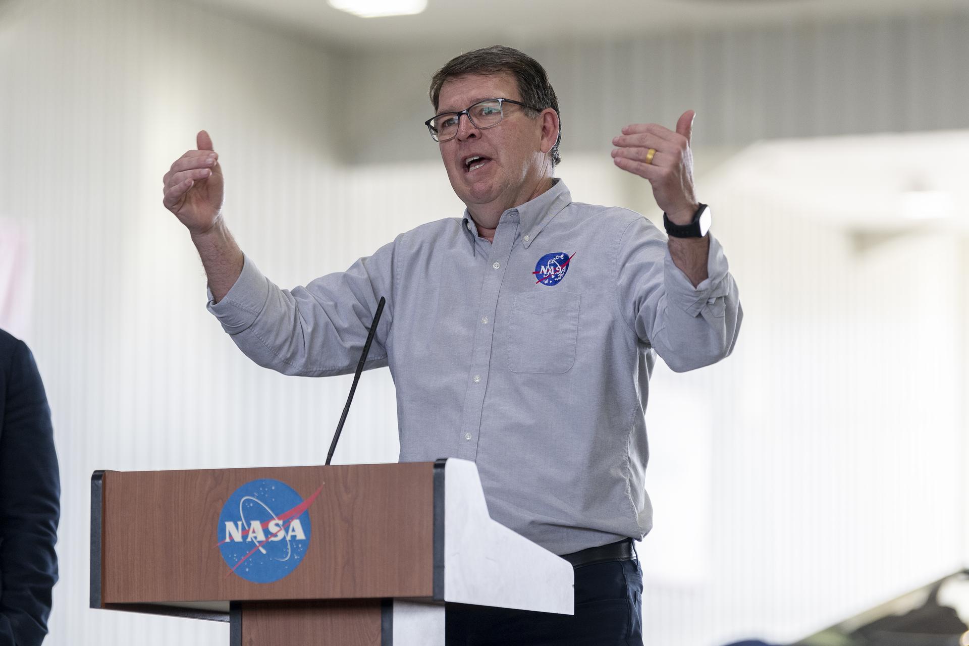
Vincent Ambrosia
Associate Program Manager, NASA Applied Science - Wildfire Program
Affiliation: College of Science, California State University – Monterey Bay (CSUMB)
Branch: Biospheric Science Branch (SGE)
Email: vincent.g.ambrosia@nasa.gov
Phone: (650) 604-6565
Website: https://appliedsciences.nasa.gov/what-we-do/wildfires
Education
1980 – M.Sc., Geography, Remote Sensing – University of Tennessee-Knoxville
1978 – B.Sc. Geography / Land Planning – Carroll University
Experience
Forty-three years of experience in vegetation modeling, disaster management (particularly windland fire) employing various EO systems, including orbital and airborne platforms. Experience in applications development and communications with national and international wildland fire management communities serving as a bridge between research and applications and facilitating the transition and uptake of science, technology and modeling.
Research Interests
Earth Observations (EO) in support of wildland fire management and hazard mitigation. This includes fire predictive modeling in pre-fire fuels, active fire propagation and predication, and post-fire recovery and remediation. Improving communications and adoption of new EO modeling efforts into operational context with fire management communities in the U.S. and globally.
Awards/Honors
- 2022: NASA Outstanding Public Leadership Medal, May 2023;
- 2019: Remote Sensing Journal, 10-Year Anniversary ‘Best Paper’ award for “Considerations for the Use of Unmanned Aircraft Systems in Remote Sensing and Scientific Research”, March 2019;
- 2009 – NASA Exceptional Public Service Medal; June 2009; Wildfire R&A
- 2009 – NASA-Ames Research Center Group Achievement Award; October 2009, Wildfire R&A
- 2009 – Federal Labs Consortium for Technology Transfer; National Interagency Partnership Award;
- 2008 – Federal Labs Consortium for Technology Transfer; Far West Region; Outstanding Partnership of the Year (Wildfire R&A);
- 2008 – R&D Journal Top 100 Inventions of 2008: Sensor Web 2.0 (UAV Fire Imaging and Satellites);
- 2008 – NASA Group Achievement Award – Wildfire Research and Applications Partnership
- 2008 – NASA Group Achievement Award – Western States UAS Fire Mission Team
- 2007 – NASA-Ames Honors Award – Western States Fire Mission Team
- 2006 – NASA Certificate of Recognition – UAV Over-The-Horizon Disaster Management Demo Project
- 2004 – NASA Group Achievement Award to “ERAST Alliance, for outstanding success in pioneering uninhabited aerial vehicles and their associated systems. Impressive accomplishments of the Alliance have significantly advanced unpiloted aeronautics.”
- 2003 – NASA Group Achievement Award to “Uninhabited Aerial Vehicle (UAV) Real Time Fire Response Experiment Team.”
- 1999 – ASPRS ERDAS Award For Best Scientific Paper in Remote Sensing (PE&RS): An Integration of Remote Sensing, GIS, and Information Distribution for Wildfire Detection and Management; in Photogrammetric Engineering and Remote Sensing (PE&RS), Vol. 64, No. 10, October 1998, pp. 977-985.;
- 1992 – NASA Certificate of Recognition for “The Creative Development of a Technical Innovation: Aircraft and Satellite Thermographic Systems for Wildfire Mapping and Assessment.“
- 1990 – NASA Group Achievement Award to “Yellowstone Firestorms of 1988: Fire Response and Environmental Impact Assessment Team.”
- 1989 – 1989 NASA-Ames Group Achievement Award for “Obtaining a Unique and Time Critical Set of Measurements by Aircraft and Satellite and Thereby Impacting the Management of Fire Fighting Forces and Recovery Operations Involved with Stopping and Assessing the Massive Destruction of Life and Property in the Greater Yellowstone Ecosystem.”
Select Publications
Author or co-author of over 120 papers, peer-reviewed articles and book chapters concerning remote sensing research and applications including:
David Eley Borges, Steven Ramage, David Green, Christina Justice, Catherine Nakalembe, Alyssa Whitcraft, Brian Barker, Inbal Becker-Reshef, Charles Balagizi, Stefano Salvi, Vincent Ambrosia, Jesus San-Miguel-Ayanz, Luigi Boschetti, Robert Field, Louis Giglio, Laila Kuhle, Fabian Low, Albert Kettner, Guy Schumann, G. Robert Brakenridge, Robert Adler, Haris Kontoes, Helene De Boissezon, Andrew Eddy, Dalia Kirschbaum, Robert Emberson, Savannah Cooley, Simone Lloyd, Cecille Blake and Kelsey Reichenbach (2023), “Earth Observations Into Action: The System Integration of Earth Observation Applications Into National Risk Reduction Decision Structures“, Disaster Prevention and Management, Vol. 32 No. 1, pp. 163-185. https://doi.org/10.1108/DPM-09-2022-0186.
Koltunov, A., S.L. Ustin, B. Quayle, B. Schwind, V.G. Ambrosia, and W. Li, 2016. The Development and First Validation of the GOES Early Fire Detection (GOES-EFD) Algorithm. Remote Sensing of Environment, (2016), Vol. 184, pp. 436-453.
Agoston, R., E.A. Hinkley, and V.G. Ambrosia, 2014. “An Approach for Measuring the Effectiveness of Fire Detection Systems in Different Dimensions.” Bolyai Szemle, National Civil Service Technical University Military Materials Journal, Published by Heyesi Joseph, Exec. Director, DTP: Tordas & Co. Limited, Hungary, No. 3, Vol. 23, ISSN. 1416-1443, pp. 283-296, 2014.
Hinkley, E.A., V.G. Ambrosia, S. Wegener, 2014. Unmanned Aircraft Systems in Environmental Monitoring Applications. In W. Messner (Ed.), Autonomous Technologies: Applications that Matter, SAE International, Warrendale, PA., Chapter 8, pp, 138-156, 2014.
Schroeder, W., E. Ellicott, C. Ichoku, M. Dickinson, R. Ottmar, C. Clements, D. Hall, V. Ambrosia, R. Kremens, 2014. Integrated Active Fire Retrievals and Biomass Burning Emissions Using Complementary Near-Coincident Ground, Airborne and Spaceborne Sensor Data. Remote Sensing of Environment, (2014), Vol. 140, pp. 719–730.
Ambrosia, V. G. and T. Zajkowski, 2014. Selection of Appropriate Class UAS / Sensors to Support Fire Monitoring, Real-Life Experiences In the U.S. In Valavanis, K.P. and Vachtsevanos, G.J. (Eds.), Handbook of Unmanned Aerial Vehicles, Springer Netherlands, Dordrecht, DOI 10.1007/978-90-481-9707-1_73, Chapter 113, pp. 2723-2754, 2014.
Peterson, D., J. Wang, C. Ichoku, E. Hyer, V. Ambrosia, 2012. A Sub-Pixel-Based Calculation of Fire Radiative Power from MODIS Observations: 1. Algorithm Development and Initial Assessment. Remote Sensing of Environment, (2012), Vol. 129, December 2012, pp. 262-279.
Watts, Adam C., V.G. Ambrosia, and E.A. Hinkley. 2012. “Unmanned Aircraft Systems in Remote Sensing and Scientific Research: Classification and Considerations of Use.” Remote Sensing. Vol. 4, no. 6: 1671-1692.
Ambrosia, V.G., S. Wegener, T. Zajkowski, D.V. Sullivan, S. Buechel, F. Enomoto, E. Hinkley, B. Lobitz, and S. Schoenung, 2011. The Ikhana UAS Western States Fire Imaging Missions: From Concept to Reality (2006-2010). Geocarto International Journal, Taylor & Francis Publishing, Vol. 26, No. 2, April 2011, pp. 85-101.
Ambrosia, V. G., D. V. Sullivan, S. Buechel, 2011. Integrating Sensor Data and Geospatial Tools to Enhance Real-Time Disaster Management Capabilities: Wildfire Observations. In Sinha, A.K., Arctur, D., Jackson, I., and Gundersen, L., eds., Societal Challenges and Geoinformatics: Geological Society of America Special Paper 482, doi: 10.1130/2011.2482(01), pp. 1-12.
Ambrosia, V.G., M. Hutt, and K. Lulla, 2011. UAS for Remote Sensing. Geocarto International Journal, Taylor & Francis Publishing, Vol. 26, No. 2, April 2011, pp. 69-70.
Ambrosia, V. G., D. V. Sullivan, S. Buechel, 2011. Integrating Sensor Data and Geospatial Tools to Enhance Real-Time Disaster Management Capabilities: Wildfire Observations. In Sinha, A.K., Arctur, D., Jackson, I., and Gundersen, L., eds., Societal Challenges and Geoinformatics: Geological Society of America Special Paper 482, P. 1-12, doi: 10.1130/2011.2482(01).
Joyce, K.E., K.C. Wright, V.G. Ambrosia, and S. V. Samsonov, 2010. Incorporating Remote Sensing into Emergency Management. Australian Journal of Emergency Management, Vol. 25, No. 4, October 2010, pp. 14-23.
Ambrosia, V. G. and S. Wegener, 2009. Unmanned Airborne Platforms for Disaster Remote Sensing Support, Book Chapter in: Geoscience and Remote Sensing, (Ed. Pei-Gee Peter Ho), InTech, ISBN: 978-953-307-003-2, Vukovar, Croatia, Chapter 5, pp. 91-114, October 2009.
Zhou, G., V.G. Ambrosia, A. J. Gasiewski, and G. Bland, 2009. Guest Editorial: Forward to the Special Issue on Unmanned Airborne Vehicle (UAV) Sensing Systems for Earth Observations. IEEE Transactions on Geoscience and Remote Sensing, vol. 47, no. 3, pp.687-689.
Ambrosia, V.G., E. Hinkley, and S. Ambrose, 2008. NASA Science Serving Society: Improving Capabilities for Fire Characterization to Effect Reduction in Disaster Losses, Book Chapter in Risk Wise, United Nations Interagency Secretariat of the International Strategy for Disaster Reduction (UN/ISDR), Tudor-Rose Publishing, ISBN: 0-9536140-9-3, pp. 158-161, August 2008.
Ambrosia, V.G., S. S. Wegener, D. V. Sullivan, S. W. Buechel, S. E. Dunagan, J. A. Brass, J. Stoneburner, S.M. Schoenung, 2003. Demonstrating UAV-Acquired Real-Time Thermal Data Over Fires, Photogrammetric Engineering and Remote Sensing, 69(4): 391-402.
Ambrosia, V.G., S.W. Buechel, J.A. Brass, J.R. Peterson, R.H. Davies, R.J. Kane and S. Spain, 1998. An Integration of Remote Sensing, GIS, and Information Distribution for Wildfire Detection and Management. Photogrammetric Engineering and Remote Sensing, Vol. 64, No. 10, pp. 977-986.

