


NASA News
National Aeronautics and
Space Administration
John C. Stennis Space Center
(228) 688-3341 June 23, 2004
Stennis Space Center, MS 39529-6000
STS-04-055
NASA Public Affairs Office FOR IMMEDIATE RELEASE (228) 688-3341
NEW IMAGES ON NASA WEB SITE MAKE EARTH SCIENCE EASY HANCOCK COUNTY, Miss. – An update to the data on a NASA Web site could change the way local governments plan or the way teachers educate – maybe even the way video games look.
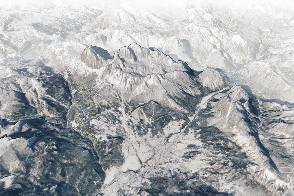
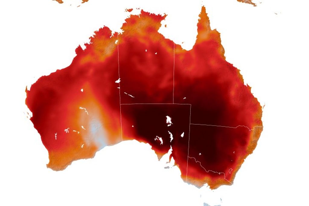
The update is a group of data sets (collections of electronic graphic information in which each pixel can be manipulated) available through a public Web site of NASA’s Earth Science Applications (ESA) Directorate at Stennis Space Center. ESA offers images of nearly any spot on the globe taken by the Landsat satellite – free to the public. Until recently, users could only view and download data sets taken by the satellite in 1990. Now they can see higher resolution images from 2000, which means more detail.
“Instead of seeing just your neighborhood, which was the most detail you could get with the 1990 images, now you can see streets and structures,” said Tom Stanley, ESA’s technical manager for the project. “It could inspire all kinds of applications like new flight simulators and video games.”
Comparing the two sets of images can help coastal surveys in Louisiana see how much land mass has been lost to erosion. Or it can show urban planners how their communities have sprawled, helping them project infrastructure upgrades. The possible uses are endless, according to Project Manager Troy Frisbie, technical management aerospace technologist with ESA.
“Folks from all over the world have written to tell us they’re using the images to make travel maps, to illustrate books and business brochures,” Frisbie said. “That’s just a sample, not counting the academic applications.”
Paul Morin of the University of Minnesota’s National Center for Earth-surface Dynamics uses pieces of the Landsat Mosaic (the overlapping images that make up the Web site’s picture of the Earth) to produce material for college students who aren’t science majors. Morin helps students visualize the Earth’s surface through digital 3-D models or teaches about climate change by creating fly-through videos. He calls it “putting science into ah-ha form.”
“In the past,” Morin said, “there was no mid-level remote sensing product between the final, pretty printed poster or map and the raw, scientific data. ESA’s Landsat Mosaic data is right in between. It would bankrupt us if we had to buy it.”
From February 2001 to 2004, ESA recorded 2.1 million files (approximately 86 terabytes, or 86 trillion bytes, of data) downloaded from the Zulu server. Frisbie expects the number to skyrocket when users discover the more recent, higher-resolution images.
“There’s no copyright. It’s in the public domain. It’s free,” Frisbie said. “Without even advertising the 2000 data set, word has been spreading rapidly. In June, 4.5 terabytes of data were downloaded from the Web site. That’s four times the average monthly usage prior to the update. We expect this to be an extremely popular download site for the world.”
To view the new data sets, visit https://zulu.ssc.nasa.gov/mrsid/. To learn more about ESA and its work, visit http://www.esa.ssc.nasa.gov/.
-END-
News releases provided by NASA’s Stennis Space Center are available at https://www.nasa.gov/centers/ssc/news/newsreleases/2004. For more information, call the NASA Public Affairs Office at Stennis at 1-800-237-1821 in Mississippi and Louisiana only, or (228) 688-3341.
2004 News Releases