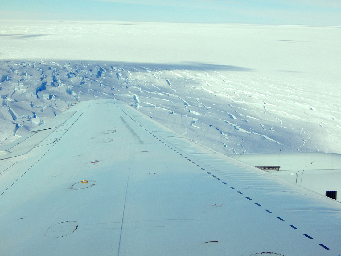
NASA’s Operation IceBridge recently completed its 2014 Antarctic campaign, marking the mission’s sixth set of flights over Antarctica. During the six-week-long deployment from Punta Arenas, Chile, researchers aboard NASA’s DC-8 airborne laboratory measured land and sea ice from above to continue building a record of change in the Antarctic.
The campaign began on Oct. 16, with a flight aimed at measuring sea ice in the Weddell Sea. This first flight – like many that followed – was a repeat mission, covering areas that IceBridge studied in previous campaigns. The repeat flights this year were of particular importance because it has been two years since IceBridge was last in Punta Arenas.
Repeating lines flown in previous years is crucial for understanding how ice conditions are changing over time. In addition, some survey lines follow the paths measured by NASA’s Ice, Cloud and Land Elevation Satellite, or ICESat, from 2003 to 2009. This helps cover the gap between ICESat and its successor, ICESat-2, scheduled to launch in a few years.
In addition to these repeated surveys, IceBridge carried out new missions intended to expand coverage into new areas. One example would be the Nov. 14 flight that measured farther inland from previous surveys of the Foundation Ice Stream and Support Force Glacier. The ice surface, bedrock and sub-ice water depth data collected on this flight will be helpful for scientists projecting future changes to the Antarctic Ice Sheet.
Two other newly designed missions also had the aim of setting a baseline for validating ICESat-2 measurements. On Oct. 23 and 26, the DC-8 flew a survey around the South Pole at 88 degrees south. Every planned ICESat-2 orbit intersects at 88 degrees, giving scientists a reference point for verifying the satellite’s accuracy.
One of these pole flights was part of a set of eight surveys considered the highest priority by IceBridge mission planners. These flights, known as baseline missions, target areas that are rapidly changing and thus needing repeat measurement, or are otherwise scientifically important, like flights building comparison points for ICESat-2. Of the 22 flights IceBridge carried out during this campaign, seven were in this baseline category. In addition to the South Pole flight, three targeted glaciers in West Antarctica and the Antarctic Peninsula, and three collected data on Antarctic sea ice.
On top of the mission’s scientific work, IceBridge also hosted high-profile visitors and reached out to students both in the United States and Chile. On the Oct. 28 flight, IceBridge was joined by NASA’s Chief Scientist Ellen Stofan and Michael Hammer, the U.S. Ambassador to Chile.
As in previous campaigns, IceBridge researchers reached out to students both back in the United States and in Chile. On several survey flights students used an online text chat portal that allowed them to ask researchers questions over the DC-8’s satellite communication system. During these chats, IceBridge communicated with 867 students in 37 classrooms.
With the conclusion of several weeks in the field, IceBridge’s various instrument teams now look ahead to processing the data they collected and to preparing for IceBridge’s upcoming Arctic campaign, scheduled to begin in March 2015.
For more information about NASA’s IceBridge mission, visit:
George Hale
NASA’s Goddard Space Flight Center, Greenbelt, Maryland


