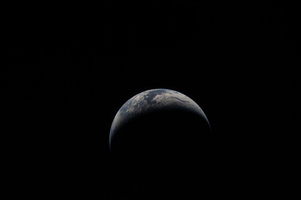
Rain, snow, hail, ice, and every mix in between make up the precipitation that touches everyone on our planet. But precipitation doesn’t fall equally in all places around the world, as seen in NASA’s new animation that captures every shower, snowstorm and tropical cyclone over a six-day period in August 2014. The time lapse was created from data captured by the Global Precipitation Measurement (GPM) satellite mission, now just over a year old, which scientists are using to better understand freshwater resources, natural disasters, crop health and more.
While local television forecasts include satellite data or radar images taken from a ground station, GPM orbits in space to observe precipitation around the world. A snapshot of the precipitation is taken every 30 minutes, then processed and made available to users 18 hours later. New rain maps are routinely created by programs that merge the data from the GPM Core Observatory, a joint mission of NASA and the Japan Aerospace Exploration Agency (JAXA), and a dozen other weather satellites. These maps, called Integrated Multi-satellite Retrievals for GPM (IMERG), are false-colored with rain in greens and reds, and snowfall depicted in blues and purples.
“For the first time, this global map allows us to track light rain and snow consistently over high latitudes and across oceans,” said Gail Skofronick-Jackson, GPM project scientist at NASA’s Goddard Space Flight Center in Greenbelt, Maryland.
These views allow scientists and weather-watchers to get the big picture of a week in August. Near the equator the rain systems move westward in a steady stream. At higher latitudes, storm fronts that stretch for hundreds of miles travel eastward across North America and Europe in the Northern Hemisphere, and across the Southern Ocean that surrounds Antarctica. It’s quiet between those bands. Zooming in on the IMERG data visualizations can also provide glimpses of the range of precipitation at a given time on Earth.
Southern Ocean
The IMERG visualization shows large storm fronts moving around the Southern Ocean. The Southern Ocean runs south of Africa, South America, and Australia. Without land to interfere, huge storm fronts that curl across hundreds of miles continually circulate around Antarctica, producing some of the world’s roughest seas.
“The Southern Ocean is really one of the great-unknown areas in meteorology,” said George Huffman, GPM deputy project scientist at NASA Goddard. It is remote, hard to reach and has few islands on which to place rain gauges. Prior to GPM, scientists only had rough estimates of rainfall, and the more elusive snowfall, which can now be seen in IMERG data in blue.
“We’ve seen in cloud pictures the swirls of the storms but there’s always been some question of what’s going on under the clouds. For the first time here we’re seeing the details of what the precipitation is doing,” Huffman said. “It is every bit as extreme as we expected.”
Tropical Cyclones in the Pacific
For the first time, IMERG can see the entire life cycle of tropical cyclones as they travel beyond the tropics and subtropics observed by previous satellites. GPM can view much more of the globe than its predecessor, the Tropical Rainfall Measuring Mission (TRMM), and caught a number of tropical cyclones developing during the Aug. 6 to Aug. 14 visualization. Tropical cyclones are known as hurricanes in the eastern and central Pacific Ocean, typhoons in the western Pacific and cyclones in the southern hemisphere.
Knowing where these storms are is key, Skofronick-Jackson said, so that as they get closer to land, managers can make decisions as to whether to evacuate people.
On Aug. 7, 2014, GPM witnessed Tropical Storm Iselle in the Central Pacific Ocean as it affected Hawaii. The storm brought heavy rain, seen in red, to the Big Island.
During the same week in the Western Pacific Ocean, GPM observed Super Typhoon Halong as it moved across Japan. The storm then intensified as it interacted with a cold front and became an extra-tropical storm while traveling north. GPM covered the entire lifecycle for Halong, using the first space-based radar capable of tracking a tropical cyclone and its evolution to high latitudes.
The GPM Core Observatory provides views of extra-tropical systems like Super Typhoon Halong over northern oceans, providing important insights into how these storms move and intensify. The views provide cloud height information that reveal “hot towers,” or towering thunderstorms that NASA research has shown usually indicate a storm will intensify within six hours. The data is also color-coded and allows scientists to see where the most intense rainfall is occurring. While TRMM only provided data for views of storms over tropical areas, GPM expands the latitude where this is possible.
Western India Monsoon Rains
On Aug. 9, 2014, the IMERG product showed a cluster of rainstorms over India, associated with the seasonal monsoons. These storms affected the Western Ghat Mountains on India’s west coast.
Using GPM data, disaster and risk managers can now obtain information on monsoon and other precipitation events 18 hours after they occur, noted Dalia Kirschbaum, GPM applications scientist at NASA Goddard. Scientists are working to reduce that time down to four hours. This data aids emergency response teams in developing rescue and recovery plans after the storms pass.
“That near-real time capability is critical for managers, understanding where we’re getting flooding and landslides around the world,” Kirschbaum said, adding that the IMERG visualization showed a heavy rainfall event that led to fatalities.
Hurricane Bertha
The GPM constellation of satellites captured the entire life cycle of Hurricane Bertha. TRMM captured images of Tropical Storm Bertha dropping heavy rain over the Caribbean on Aug. 1, and other satellites tracked its path. On Aug. 4, it was upgraded to a hurricane as its winds increased to about 80 mph (130 kph), but was back to a tropical storm the morning of the next day, according to NASA’s website on the storm.
The storm traveled across the Atlantic Ocean, bringing heavy rains to the U.K. Earlier satellites would have missed Bertha’s death on Aug. 16, since it was at a high latitude, but GPM captures precipitation up to the Arctic and Antarctic Circles.
“By being able to observe tropical cyclones in their infancy in the tropics, and see how they move all the way to the high latitudes, it gives us really important clues to how storms develop and intensify,” Kirschbaum said.
Daily Storms Over Africa and the Amazon
The IMERG visualization also highlights thunderstorms popping up over equatorial Africa and South America, as they develop and fade daily with daytime heating. As the sun heats up the land during the day, moisture that evaporates from trees and other vegetation rises and condenses into clouds, becoming thunderstorms. They’re quick to form and quick to fade, they travel west on the winds and dissipate at night.
Sometimes the thunderstorms in the Amazon form into lines of storms, known as squall lines, Huffman said. These can be traced across the entire basin over the course of two days, as seen on the visualization. The convection (rising air) dies out when the squall line hits the steep topography of the Andes Mountains, which run north to south for 4,500 miles along the western coast of the continent.
In Eastern Africa, squall lines start in the Ethiopian highlands, Huffman pointed out, noting the pulsation apparent on the IMERG visualization.
“When they come off the coast, they’re known as easterly waves,” he said. “These are the precursors for some of the hurricanes that we see in the United States.”
For more information about the GPM Observatory, visit:
Additional GPM and IMERG video can be downloaded in HD formats at:
http://svs.gsfc.nasa.gov/Gallery/GPM.html#IMERGVisualizations


