


![Request for Information – Potential [Placeholder for Prize]](https://assets.science.nasa.gov/dynamicimage/assets/science/psd/solar/2023/09/s/solarsystem_0.jpg?w=1024)


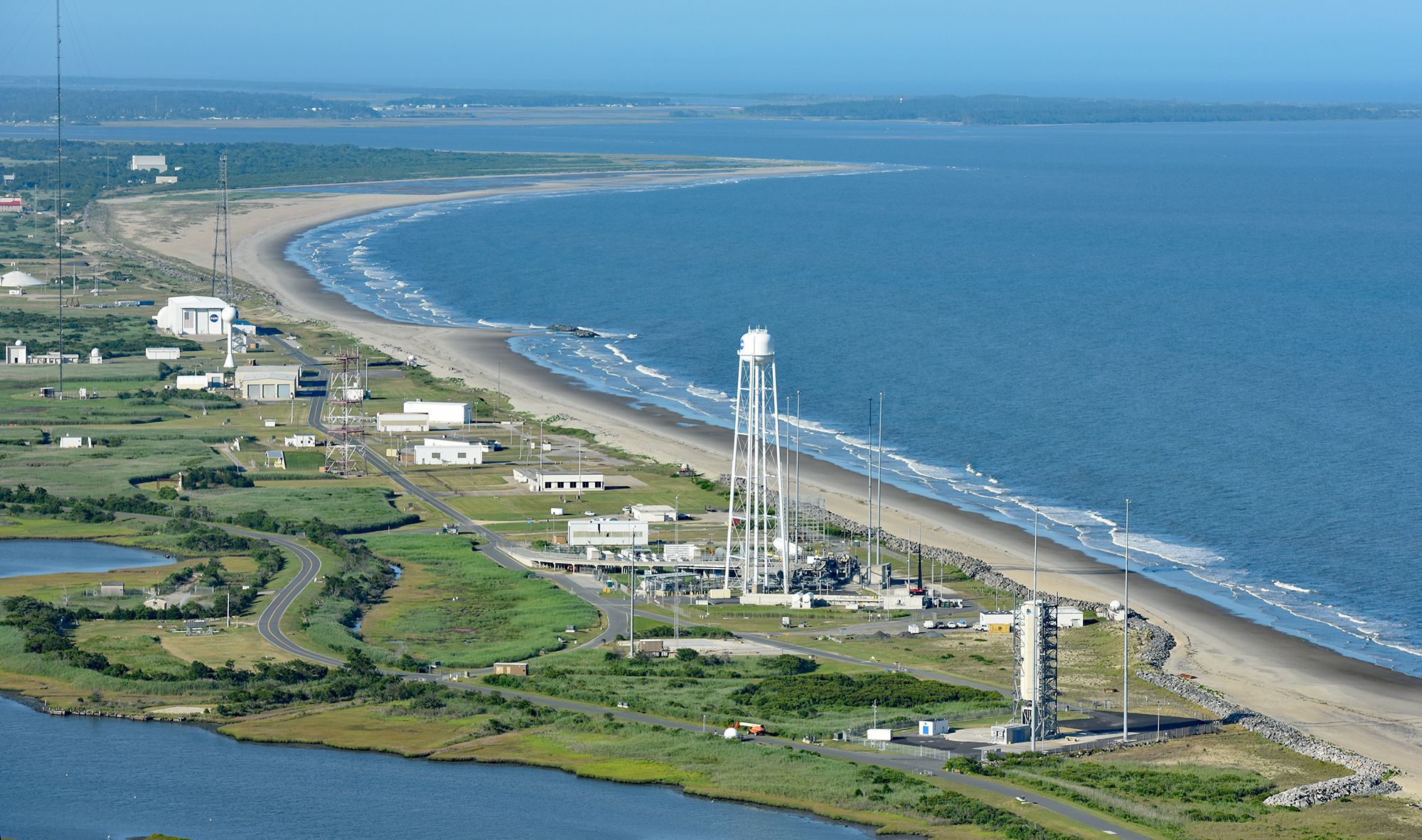
Aerial Photograph of NASA’s Wallops Flight Facility Launch Range
This June 2021 aerial photograph shows the coastal launch range at NASA's Wallops Flight Facility on Virginia's Eastern Shore. The Atlantic Ocean is at the right side of this image, and nearby Chincoteague and Assateague islands are at upper left and right, respectively. A subset of NASA's Goddard Space Flight Center, Wallops is the agency's only owned-and-operated launch range. Shore replenishment and elevated infrastructure at the range are incorporated into Goddard's recently approved master plan.
Image Credit: Courtesy Patrick J. Hendrickson; used with permission
- X
https://www.nasa.gov/image-detail/pjh_9548-web/
Image CreditCourtesy Patrick J. Hendrickson; used with permission
Size2000x1182px