


AfriSAR 2016
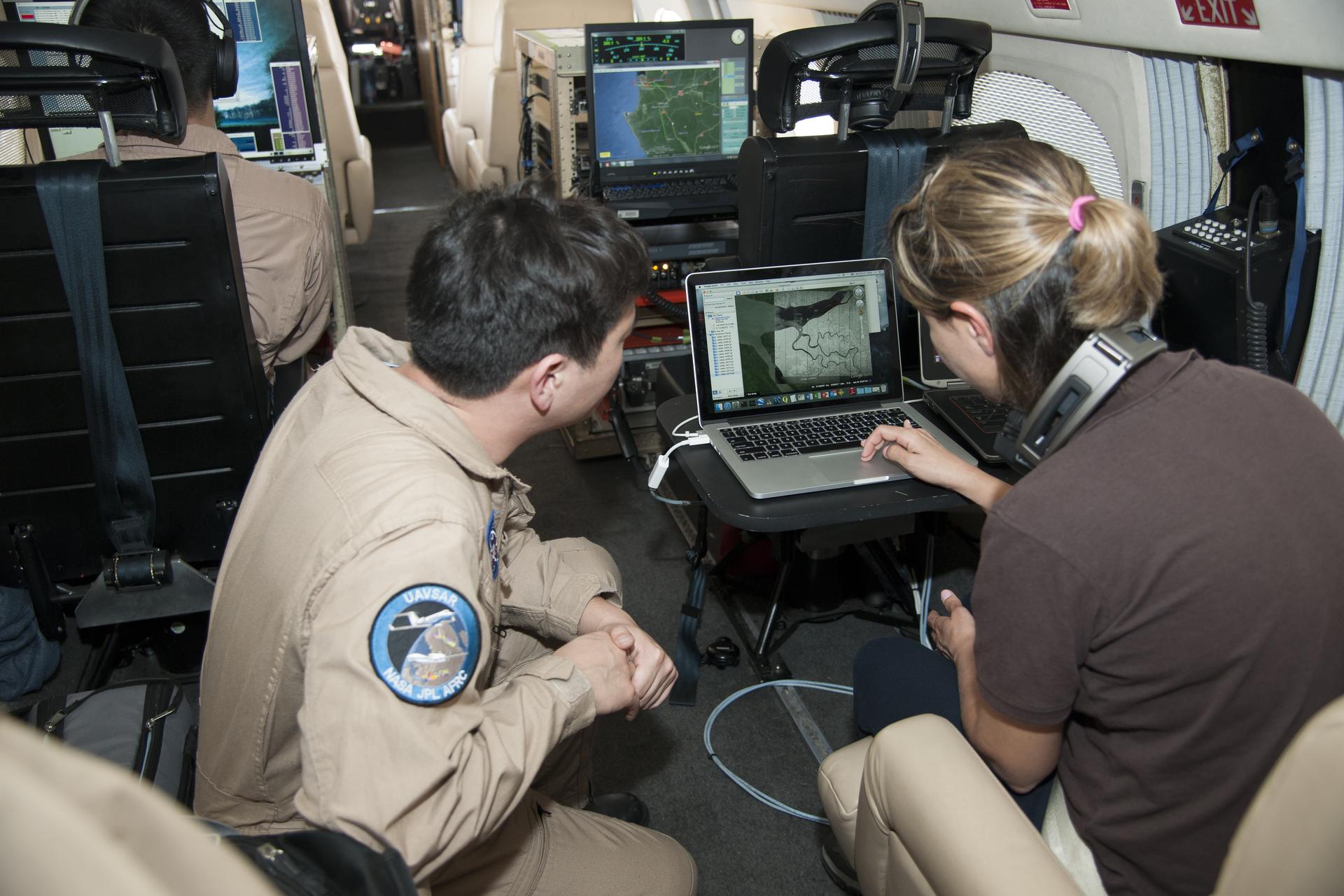
Sam Choi and Naiara Pinto observe Google Earth overlaid with in almost real time what the synthetic aperture radar is mapping from the C-20A aircraft. Researchers were in the sky and on the ground to take measurements of plant mass, distribution of trees, shrubs and ground cover and the diversity of plants and how much carbon is absorbed by them.
Image Credit: NASA AFRC/Carla Thomas
- X
https://www.nasa.gov/image-detail/amf-afrc2016-0054-528/
TakenFebruary 27, 2016
ProducerAFRC
Image CreditNASA AFRC/Carla Thomas
Size1920x1280px
PIA NumberAFRC2016-0054-528
