


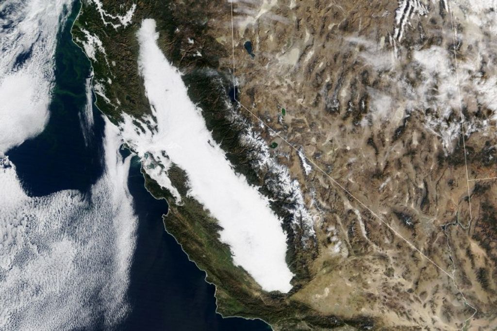


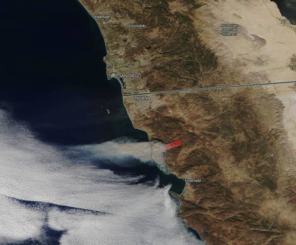
NASA’s Terra satellite captured an image of a fire in northwestern Mexico. San Diego Gas and Electric’s alert system cameras picked up smoke from the fire burning south of Rosarito Beach in Mexico. The natural-color image was captured by the Terra satellite on Oct. 24, 2019 using the onboard MODIS (Moderate Resolution Imaging Spectroradiometer) instrument. The Baja California Civil Protection Office confirmed that a fire started at 8:00 a.m. Thursday, Oct. 24, 2019, in the San José de la Zorra community in Ensenada. By 6:00 p.m the fire had spread to 7,100 acres and was 25 percent contained, according to state authorities. Today reports have the fire at 13,000 acres and CAL Fire officials are monitoring the fire as the smoke can be seen as far north as San Diego County. Although CAL Fire also reported on their Twitter page that the fire poses no threat to U.S. cities. The National Weather Service is reporting that the smoke from the fire is curling northward and will pass by San Diego and Los Angeles today. In fact, smoke from the fire has drifted 100 miles into the sea and can be seen on this animated GIF captured by the NOAA’s GOES-East satellite.

NASA’s satellite instruments are often the first to detect wildfires burning in remote regions, and the locations of new fires are sent directly to land managers worldwide within hours of the satellite overpass. Together, NASA instruments detect actively burning fires, track the transport of smoke from fires, provide information for fire management, and map the extent of changes to ecosystems, based on the extent and severity of burn scars. NASA has a fleet of Earth-observing instruments, many of which contribute to our understanding of fire in the Earth system. Satellites in orbit around the poles provide observations of the entire planet several times per day, whereas satellites in a geostationary orbit provide coarse-resolution imagery of fires, smoke and clouds every five to 15 minutes. For more information: https://www.nasa.gov/mission_pages/fires/main/missions/index.html
NASA’s Earth Observing System Data and Information System (EOSDIS) Worldview application provides the capability to interactively browse over 700 global, full-resolution satellite imagery layers and then download the underlying data. Many of the available imagery layers are updated within three hours of observation, essentially showing the entire Earth as it looks “right now.” Actively burning fires, detected by thermal bands, are shown as red points. Caption: Lynn Jenner with information from CAL Fire.