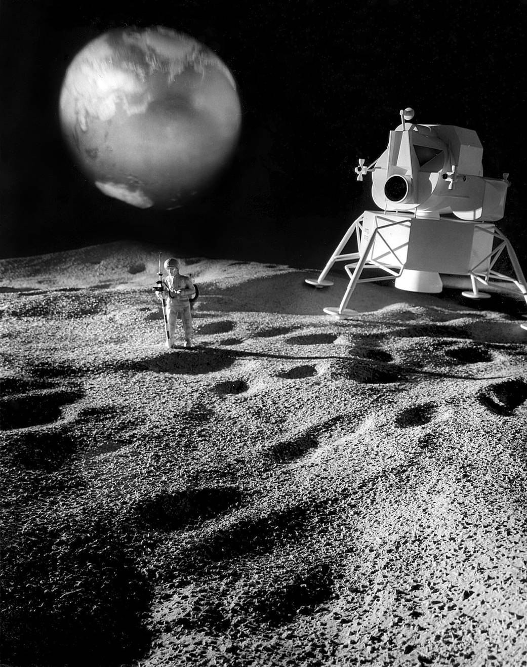
These 1965 photographs of the lunar landscape show models made using a technique developed by Dr. Eugene M. Shoemaker (view image) of the U.S. Geological Survey. The models were made by a photometric scaling process. The scaling technique uses the different brightness levels in the picture transmitted by NASA’s Ranger VII spacecraft to obtain the relative height or depth of hills and craters. The scale is 1:20 (1″-0.6 meters – 1″-1 2/3 ft.)Image Credit: NASA
1 min read


