


ICESat-2 uses lasers and a very precise detection instrument to measure the elevation of Earth’s surface. Launch: Sept. 2018Operating Network: Near Space Network
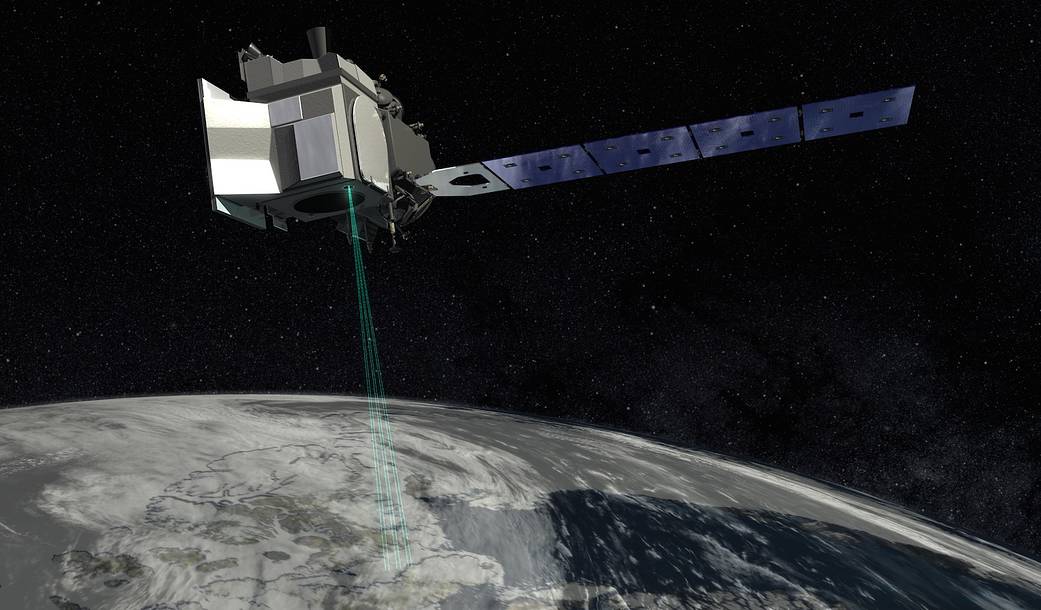
ICESat-2 (short for Ice, Cloud and land Elevation Satellite) uses lasers and a very precise detection instrument to measure the elevation of Earth’s surface. By timing how long it takes laser beams to travel from the satellite to Earth and back, scientists can calculate the height of glaciers, sea ice, forests, lakes and more – including the changing ice sheets of Greenland and Antarctica.
The first ICESat mission operated from 2003 to 2009.
Launch: Sept. 2018
Operating Networks: Near Space Network › Near Space Network (NSN) › ICESat-2› Earth Missions Supported by SCaN