


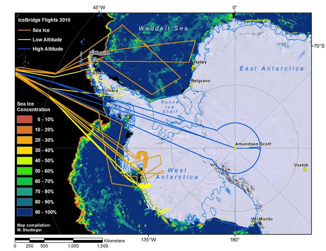
This graphic map prepared by mission scientist Michael Studinger of NASA's Goddard Space Flight Center depicts both the concentration of sea ice off the coast of Antarctica, as well as flight tracks of NASA's DC-8 airborne science laboratory during the Fall 2010 Operation IceBridge campaign.
All Flights Landscape
Mission: Operation IceBridge 2010
This graphic map prepared by mission scientist Michael Studinger of NASA’s Goddard Space Flight Center depicted the concentration of sea ice off the coast of Antarctica, as well as flight tracks of NASA’s DC-8 airborne science laboratory during the Fall 2010 Operation IceBridge campaign.November 20, 2010
NASA / Michael Studinger