


If you’ve ever used Google Earth to scope out a location from above, you can thank NASA for the cloud-free views that let you see the landscape’s details.
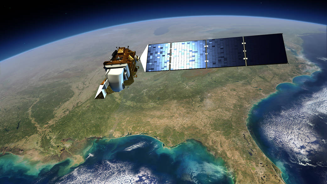
If you’ve ever used Google Earth to scope out a location from above, you can thank NASA for the cloud-free views that let you see the landscape’s details. Landsat satellites, built and launched by the space agency and managed by the U.S. Geological Survey, have provided data crucial for modern maps used by consumers, researchers and governments worldwide. More than 40 years’ worth of Landsat imagery, now available for free, allows the study of long-term, global trends in forest cover, glacial retreat, agricultural production, urban expansion and other changes in surface cover.
Read more: http://spinoff.nasa.gov/Spinoff2015/ee_1.html
Image credit: NASA