


Description
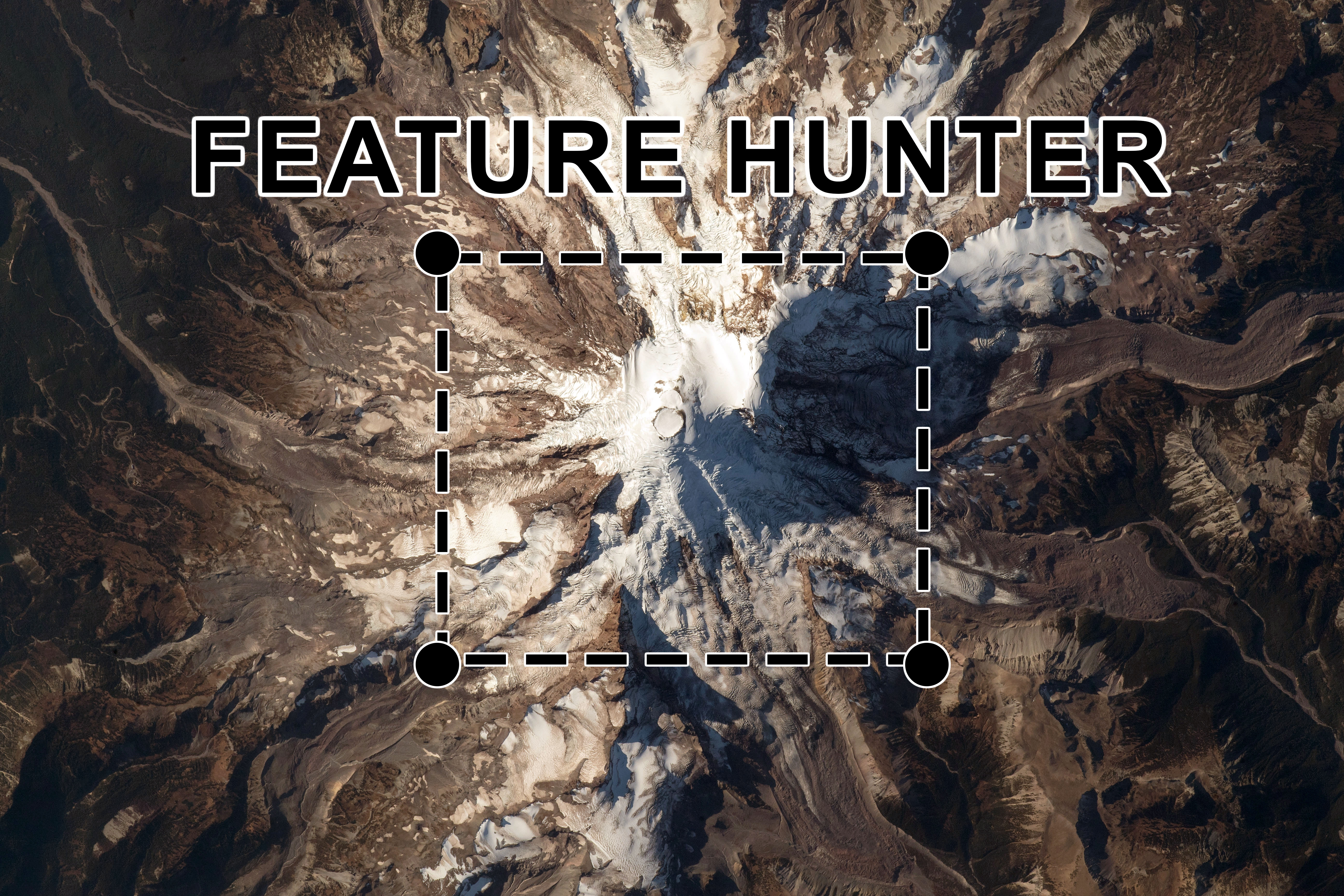
Feature Hunter, developed by College and High School students, enables users to identify features in astronaut images of Earth such as glaciers, volcanoes, cities, islands and more. Users draw boxes around features and that input is used to help train our machine learning models to identify the same geographic features in our NASA database of over 3 million astronaut photos of Earth. Once the machine learning models are trained, they are used to automate the addition of descriptive metadata to previously unexamined images within our online database, making those images more easily searchable and useful to the scientific community and the public.
Sponsoring Organizations
Earth Science and Remote Sensing Unit at NASA’s Johnson Space Center
Awards Available
n/a
Registration Deadline
none—opportunity is ongoing
Challenge Close Date
n/a
Frequency
this opportunity is open for users every day
For More Information
https://eol.jsc.nasa.gov/BeyondThePhotography/FeatureHunter/


