![Request for Information – Potential [Placeholder for Prize]](https://assets.science.nasa.gov/dynamicimage/assets/science/psd/solar/2023/09/s/solarsystem_0.jpg?w=1024)


Globally, nearly all wildfires start with a human ignition source – not lightning strikes or wildlife encountering power equipment. Knowing humans can be a primary cause is an example of the sort of knowledge that helps predict and prevent wildfires, a challenge that NASA and the firefighting industry are undertaking together.
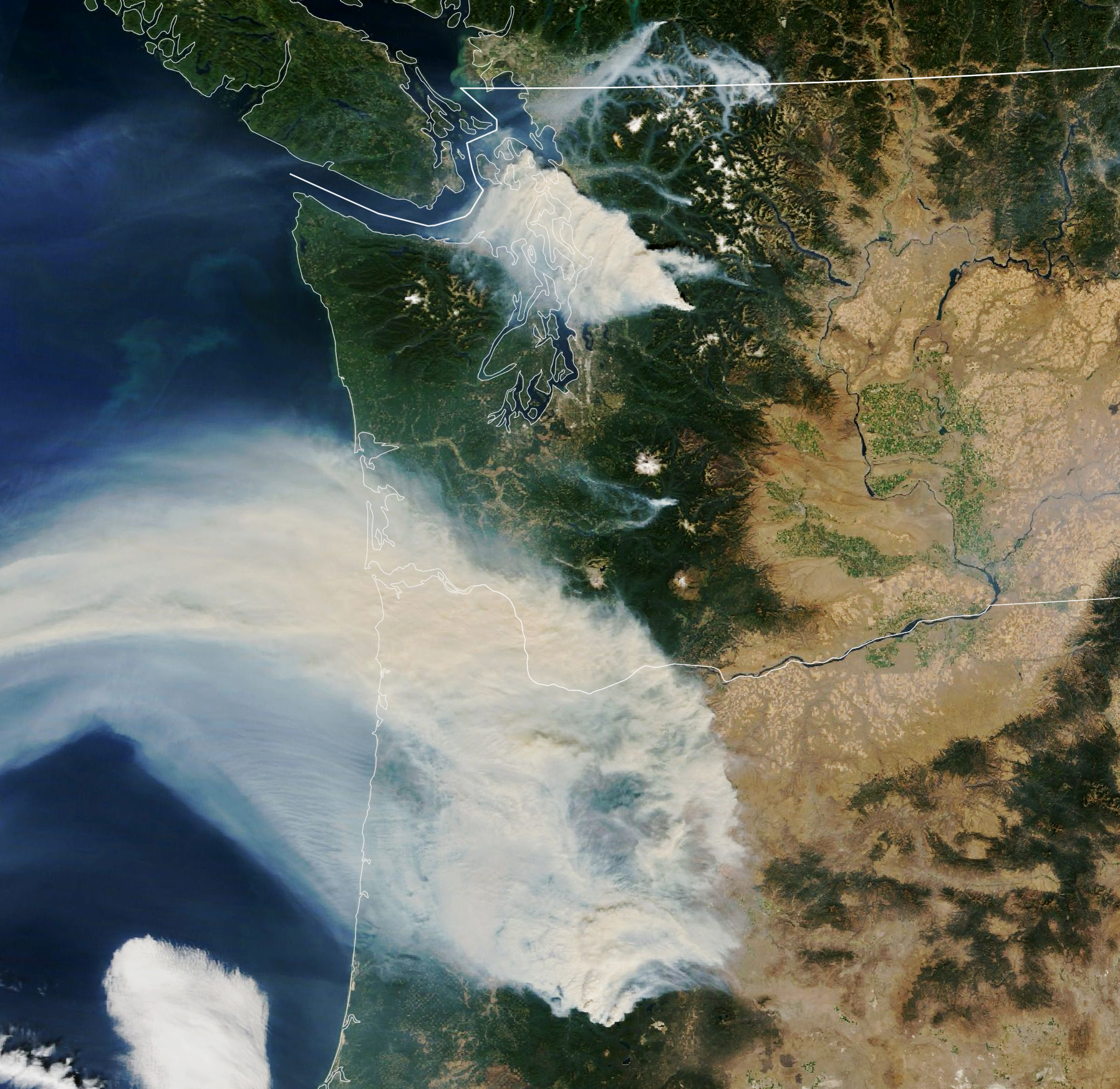
As wildfires become more common in rarely experienced countries like Ireland and are more intense in other areas impacted by climate change, governments and businesses are turning to space for help.
Landsat satellite Earth-observation data, artificial intelligence, and machine learning now predict and monitor fires and support post-fire recovery. San Diego-based Technosylva Inc. provides firefighters with a wildfire monitoring service that combines all these technologies. The company also uses other NASA fire data resources compiled by the agency’s Ames Research Center in Silicon Valley to assist during the fire season and beyond.
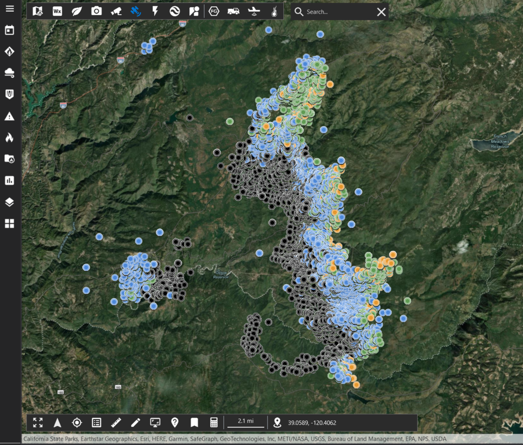
Technosylva uses data fusion, which integrates multiple data sources from climate, weather, landscapes, and human infrastructure, to develop a complete picture of current fire risks. Before fire season begins, these efforts help develop more resilient landscapes to make communities safer. During the fire season, models predict how fires will spread, and provide real-time equipment and personnel tracking across vast tracts of land.
During the 2017 Las Máquinas wildfire in Chile – a fire so large the only way to view the perimeter was from space – Technosylva assisted in firefighting efforts by providing satellite data to help identify new hot spots and guided containment efforts.