


![Request for Information – Potential [Placeholder for Prize]](https://assets.science.nasa.gov/dynamicimage/assets/science/missions/a-step/FFR_Earth_Background_20251120%20.png?w=1024)


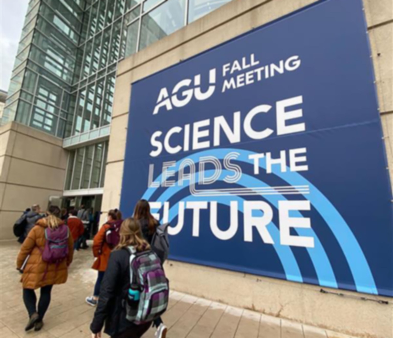
Welcome to the 2022 AGU
It felt like the first day at a new school – scrambling out of the car in the carpool lane, backpacks swinging over our shoulders, then facing the large entryway of the new and daunting building. For a week in December, nearly 23,000 people roam the large Chicago convention center where the 2022 American Geophysical Union (AGU) Fall Meeting conference was held.
I was one of those several thousand people. As a young professional who only recently graduated from college, this was my first conference, and an impressive one to start out on at that. I’ve always yearned for knowledge and had a desire to learn. AGU is one of the places where new information is never in short supply.

AGU is a hub for Earth science research presentations. Scientists from ranges of backgrounds gather at the conference annually to share, discuss, and disseminate information on a wide variety of topics all relating back to one thing we all have in common – Earth. Topics span from global environmental change and natural hazards to atmospheric sciences and ocean sciences, and much more.
To research those topics, scientists need data. So much of that data about Earth comes from satellites that are way up in space, looking back at the planet where they were made. And that’s where my job comes in.
I’m the staff writer for the Earth Science Projects Division at NASA’s Goddard Space Flight Center. I have the unique privilege of working with the people who design and build many of those spacecraft and instruments that are up in space, delivering crucial data. Eventually, those data get pulled into intense geoscience research, and for many of those researchers, the AGU conference is the pinnacle of platforms.
After it was confirmed that I was going, both excitement and nerves fell into place. Colleagues who had attended the conference before me offered their thoughts and recommendations, and almost every person acknowledged a key feature to the conference: its size. “It’s huge!” “It’s massive!” “There’s so much happening, and you’ll want to see it all – you won’t know where to start!”
I always nodded and accepted their statements, but truly all I could think was that they must be exaggerating. How big could this conference really be?
As I walked through the doors into the convention center, all notions of exaggeration fell away immediately. The hall was indeed massive and even though the conference had scarcely begun, there were crowds of people navigating the corridors just like I was. For as large as the hall was, it was filled to the brim with a feeling of excitement and a buzz of knowledge – so much so it was almost palpable.
Walking though the poster hall, I was blown away by how many presentations shared the NASA symbol on their poster boards, and it brought me a sense of both humility and joy knowing that the work that I do is somehow connected to these scientists around me. Not only were there NASA scientists in attendance, but also student scientists who utilize Goddard data for their research.
Dr. Doug Morton, chief of the Biospheric Sciences Laboratory at NASA’s Goddard Space Flight Center.
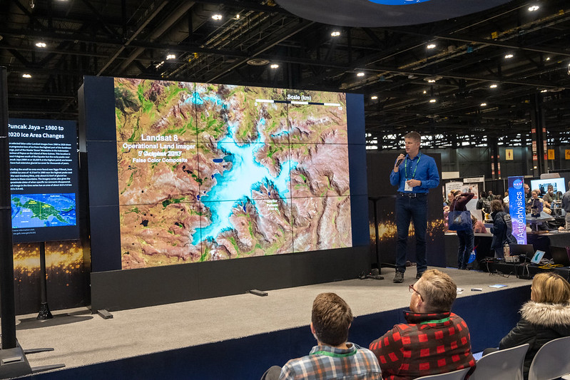
The Landsat series
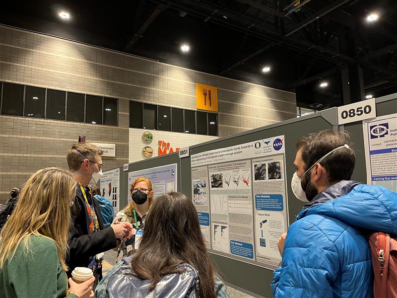
Landsat 9, the latest of the series, was developed at Goddard and launched in September 2021. With over 50 years of Landsat data and imagery available, the long timeline becomes a beneficial asset to many types of research. Nicole Abib, Ph.D. candidate at the University of Oregon, used the expanse of Landsat data for her research on the properties of ice mélange – dense packs of icebergs and sea ice – in Greenland’s fjords. With the time series of Landsat data, Abib relayed that she was able to visualize the ice mélange in the fjords, an important step in understanding how its properties vary around the ice sheet, and how this has or has not changed over time.
Landsat data made frequent appearances in the rows of poster presentations in the cavernous hall. One poster easily caught the eyes of curious spectators, as well as my own, with the beautiful background imagery of snow. Chase Mueller, remote sensing data scientist and contractor to the U.S. Geological Survey, explained to onlookers about how Landsat data is an essential tool in learning about snowmelt runoff and its effects. The large timeline of data is valuable in creating models to help with the prediction of the phenomena.
“This work aims to improve access to snow runoff modeling through the utilization of a commercial cloud compute environment while leveraging the higher resolution of Landsat data,” Mueller said. “It will help users better characterize the role of high mountain snowpacks on regional water supplies.”
Ice, Cloud, and land Elevation Satellite-2
Across the convention center (an actual 10-minute walk away yet all in the same building, just another reminder of how huge this conference is), another mission with an impressive timeline shares how its data has been used in variation for different topics of research. The four-plus years of elevation data from the Ice, Cloud, and land Elevation Satellite-2 (ICESat-2) mission have provided an extensive amount of data – the latitude, longitude, and height for every laser photon sent down to Earth and received back by the satellite.
“The real power of this data is the aggregation of data over space and time,” said Tom Neumann, project scientist for ICESat-2 at Goddard, said during a town hall on the mission.
With the limitations of time being the only reason why the town hall didn’t last hours to discuss all the research using ICESat-2 data, a few examples were presented to the group. The data helped reveal results on a range of topics, including sea ice thickness and a new record low for Antarctic Sea ice extent in February 2022. Spanning farther than just ice, ICESat-2 data also helped scientists understand canopy heights of the forests of Texas and Alabama, which are used to assess forest degradation and habitat suitability.
As ICESat-2 continues orbiting and collecting data, the masses of data points will become even more accessible as it is transferred into the cloud.
“With all the ICESat-2 data as well as many other satellite data now at your fingertips, we are approaching a new era of doing science,” said Thorsten Markus, cryosphere program scientist at NASA Headquarters in Washington, DC.
As I absorbed as much information as possible walking around the convention center, I couldn’t help but to think about where this data originated, and what the future will look like as new and different satellites continue to collect more data. Missions that are just in the beginning stages – either being meticulously constructed by engineering teams or are even just a thought in the minds of scientists and engineers – will one day have presentations like these, and viewers like me ready to learn.
Some researchers and data users are looking to future orbiting observatories for even more precise measurements, such as the Plankton, Aerosol, Cloud, and ocean Ecosystem (PACE) mission, scheduled to launch in January 2024.
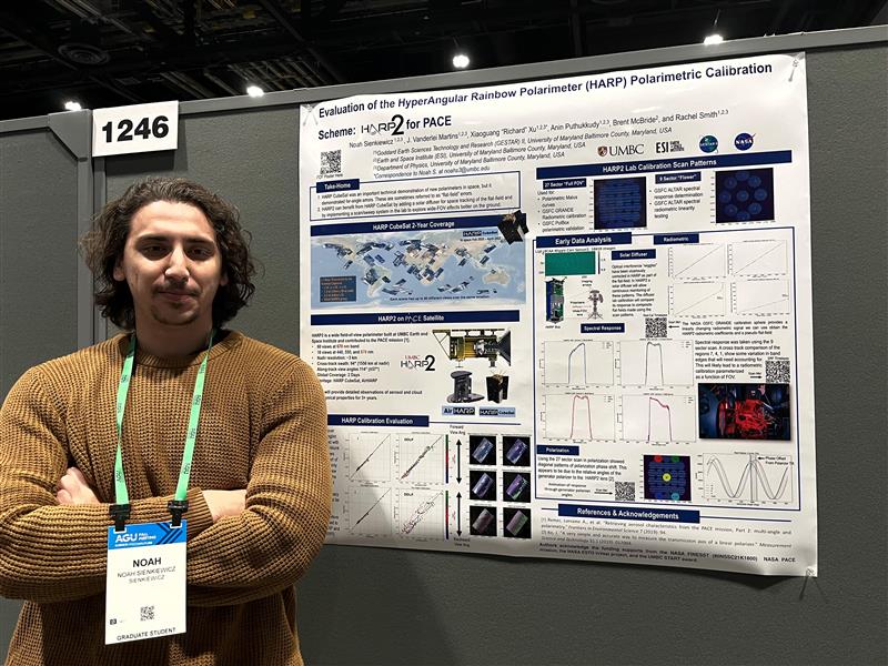
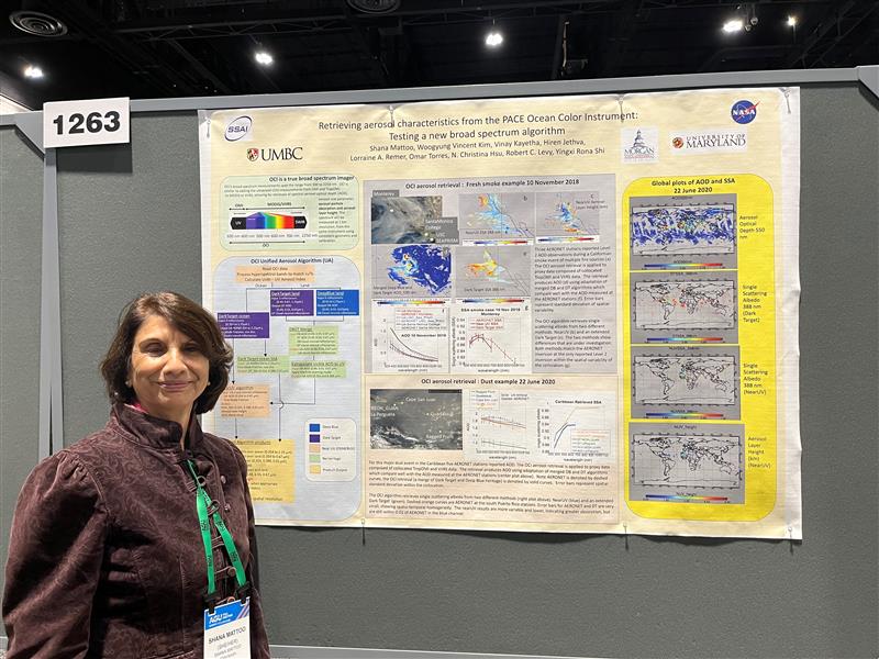
Shana Mattoo, a senior programmer at NASA Goddard, shared how she and her colleagues used a combination of Visible Infrared Imaging Radiometer Suite and Tropospheric Monitoring Instrument data to help prepare an algorithm for PACE’s Ocean Color Instrument, which will singlehandedly measure the full expanse of light wavelengths that that previously required a combination of datasets. Similarly, Noah Sienkiewicz, Ph.D. candidate at the University of Maryland, Baltimore County, explained to the audience how he used previous versions of the Hyper-Angular Rainbow Polarimeter (HARP) to help calibrate another PACE instrument, the new HARP2.
Atmosphere Observing System
A bit further into the future is the Atmosphere Observing System (AOS), part of the Earth System Observatory, a set of satellites all aiming to view Earth from different perspectives. AOS, though still early in its planning stages, will look to measure the aerosols, clouds, atmospheric convection, and precipitation in Earth’s atmosphere. The measurements will ultimately help the understanding of weather and climate.
I only was able to glimpse what this conference had to offer, and though I tried to take in as much of it as possible, there is so much more out there for me to learn, and I am eager to do so. Though the conference itself was expansive, there’s a whole world out there to cover, and each of these presentations, posters, or sessions highlighted details of our home planet and the universe beyond. The understanding of the planet grows as more research is completed, and the information provided by Goddard Earth science projects is essential to that growth.
Erica McNamee
Science Writer, Earth Science Projects Division