


Significant announcements:
August 22nd, 2019
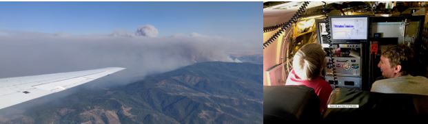
- FIREX-AQ (Fire Influence on Regional to global Environments eXperiment– Air Quality) – The FIREX-AQ team packed up over the weekend and the DC-8 transited from Boise, Idaho to Salina Kansas, Monday 8/19. After 13 successful science flights in Boise, the second phase of FIREX has begun. Dave Jordan and the ESPO team were in Salina to meet the DC-8 and make sure everything is ready for the deployment as well as for media day (Tuesday 8/20).


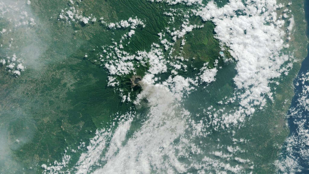
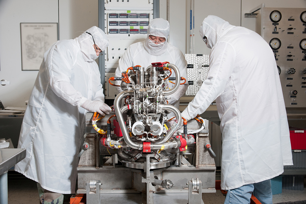
- CAMP2Ex (Cloud, Aerosol, Monsoonal Processes – Philippines Experiment) – CAMP2Ex will address the complex, inter-related physical processes between aerosols, cloud microphysics, and radiation in the tropical atmosphere often influenced by human-made pollution. The P-3 has arrived at Clark Air Base in the Philippines. Jhony Zavaleta and several members of ESPO are in the Philippines readying the science team for the first science flight planned for 8/24. Media day will be 9/23.
- The Surface Biology and Geology (SBG) Designated Observable Mission Study Team is meeting at Ames 20-21 August 2019. This meeting marks the transition from identifying candidate Surface Biology and Geology observing system architectures to assessing them (formally, phase 2 in the pre-Phase A study). The SBG technical leadership reviewed the SBG science objectives, refined the figures of merit used in preliminary assessment of candidate observing system architectures, and assigning initial science value to the architectures. HQ attendance included Woody Turner and David Jarrett and JPL Earth Science leadership was present in force. The SBG Targeted Observable was one of five high value NASA Targeted Observables recommended in the NRC 2017 Earth Decadal Survey. SBG will enable improved measurements of Earth’s surface characteristics that provide valuable information on a wide range of Earth System processes. The specific SBG targeted observables – surface biology & geology, functional traits of terrestrial vegetation and inland & near-coastal aquatic ecosystems, active geologic processes, ground & water temperature, gross primary production (GPP), and snow spectral albedo – are to be implemented with a maximum recommended development cost of $650M.
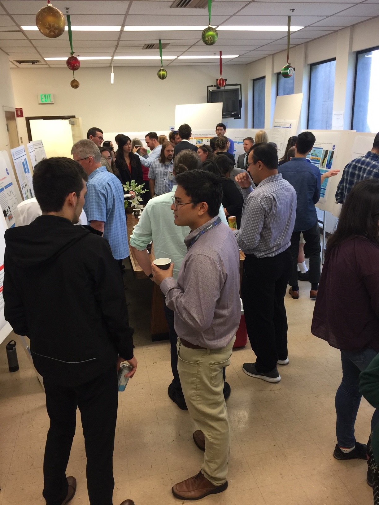
- The DEVELOP and CAARE programs hosted the Ames annual summer closeout for student interns, on 6 August. DEVELOP, part of NASA’s Capacity Building Program, addresses environmental and policy issues through the use of NASA Earth Observations in collaboration with partner organizations. DEVELOP presentations focused on American Samoa coral reef health and water resources, coal mining operations and restoration in the Power River Basin, and a water quality decision support system for Belize. Presentations were followed by a joint poster session with the Center for Applied Atmospheric Research and Education (CAARE) program. The CAARE interns presented work on a variety of research projects including topics such as accessing snowpack variability on the Navajo Nation, the effects of hurricanes on landcover in island nations, and analyzing atmospheric rivers and rain-on-snow events in the Sierra Nevada. We thank the mentors and are inspired by the achievements of these bright students and early-career scientists!

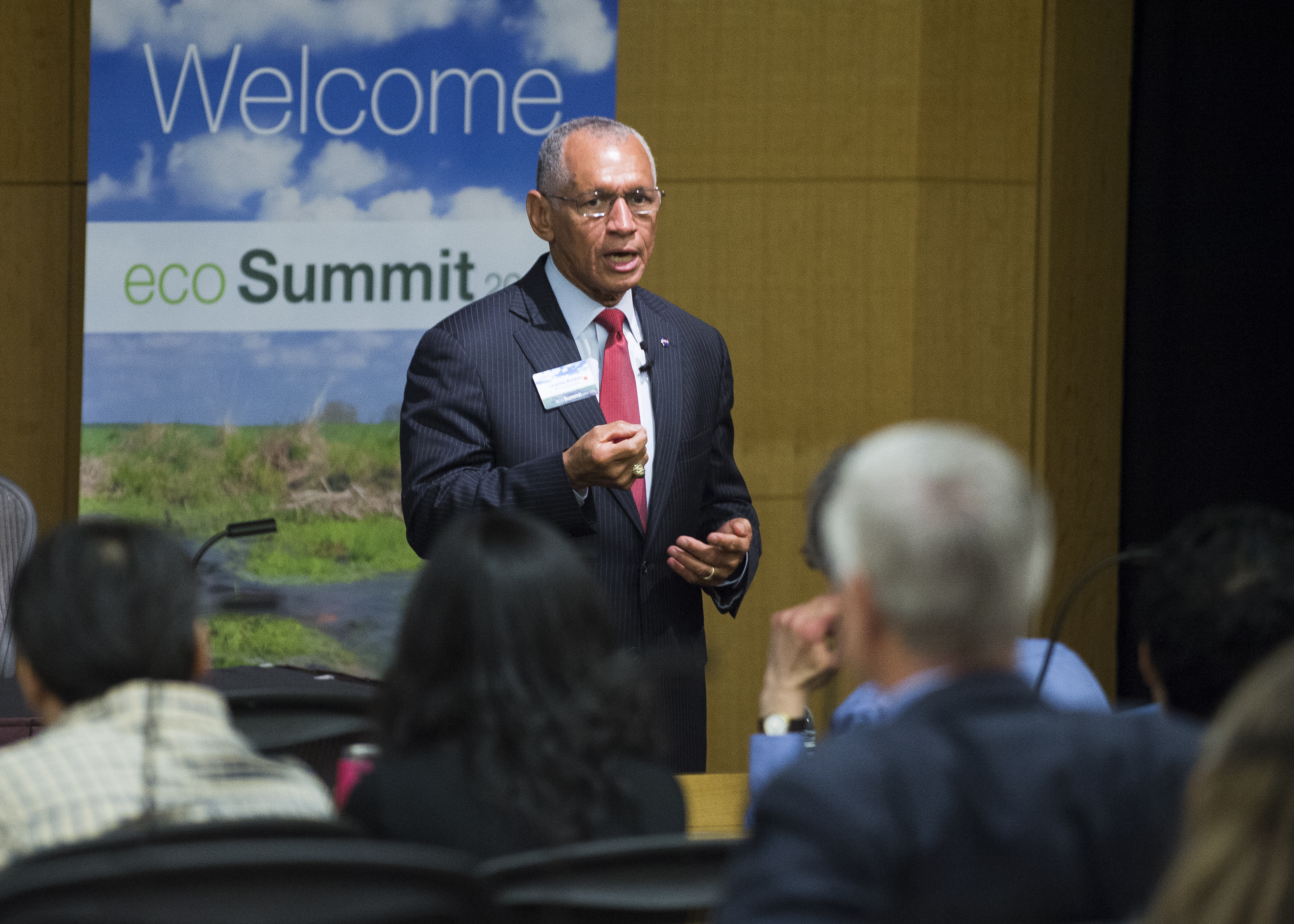
- Ryan Spackman and Ian Brosnan attended the IEEE Geoscience and Remote Sensing Symposium (IGARSS) conference in Yokohama, Japan 28 July – 2 August. NASA’s Earth Science Technology Office (ESTO) portfolio was featured throughout the conference in numerous technical sessions. Sandra Cauffman (below) presents at the NASA Hyperwall in the Exhibition Hall..
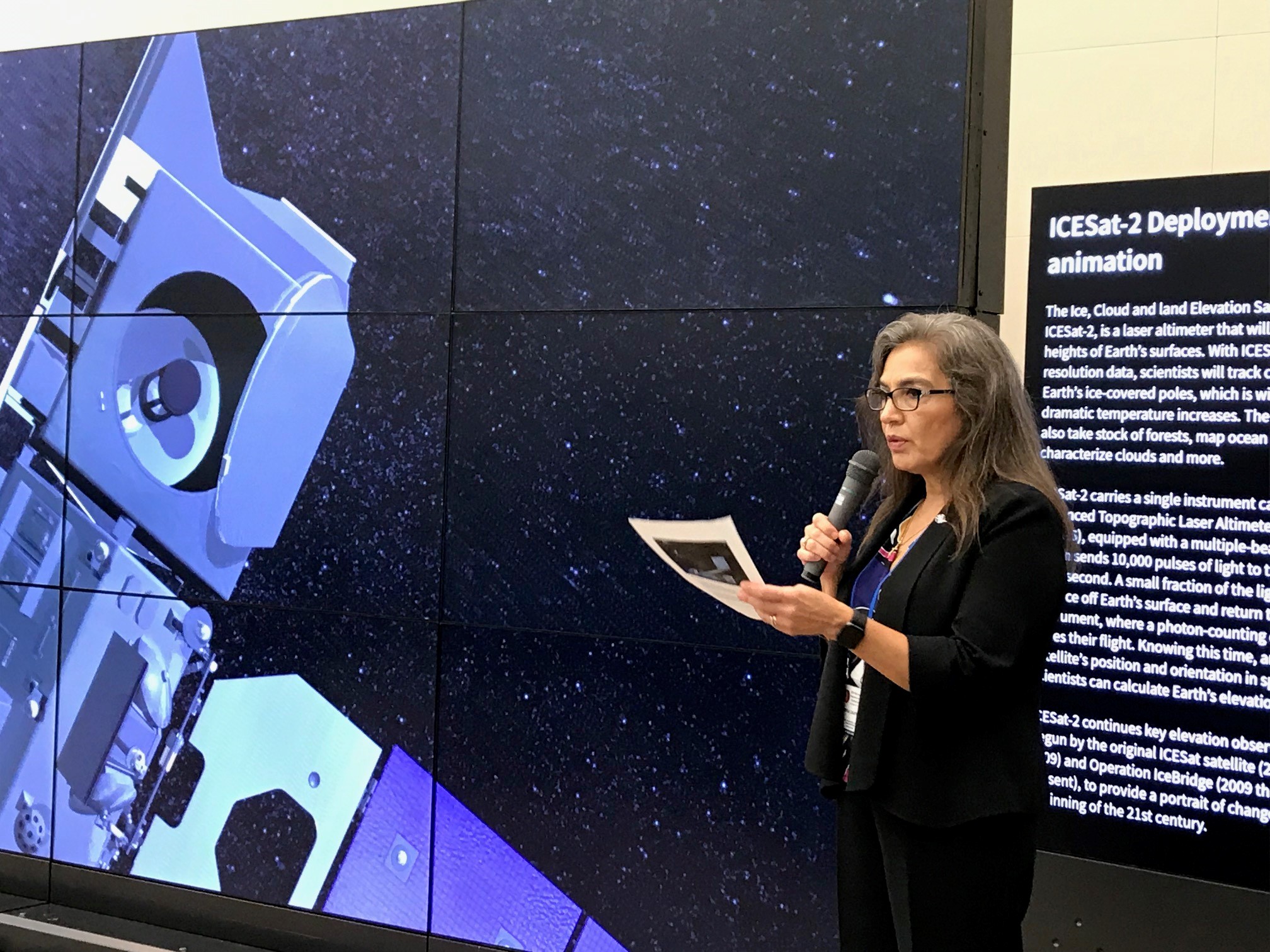
Sandra Cauffman (below) presents at the NASA Hyperwall in the Exhibition Hall..
- Ramakrishna Nemani delivered a keynote address on 5 August at the Knowledge Discovery and Data Mining (KDD) 2019 Conference in Anchorage, AK, 4-8 August 2019. The annual KDD conference is the premier interdisciplinary conference bringing together researchers and practitioners from data science, data mining, knowledge discovery, large-scale data analytics, and big data. Rama’s talk focused on earth observations from geostationary satellites. The latest generation of geostationary satellites carry sensors such as the Advanced Baseline Imager (GOES-16/17) and the Advanced Himawari Imager (Himawari-8/9) that closely mimic the spatial and spectral characteristics of MODIS and VIIRS, useful for monitoring land surface conditions. The NASA Earth Exchange (NEX) team at Ames Research Center has embarked on a collaborative effort among scientists from NASA and NOAA exploring the feasibility of producing operational land surface products similar to those from MODIS/VIIRS.
- FIREX-AQ (Fire Influence on Regional to global Environments eXperiment– Air Quality) – The aircraft (DC-8) is in Boise, Idaho conducting the first phase of FIREX. Seven science flights have been completed. Dave Jordan and some of the ESPO team are in Boise supporting the mission activities.
- CAMP2Ex (Cloud, Aerosol, Monsoonal Processes – Philippines Experiment). Aircraft integration continues on the NASA P3-B. Transit to the Philippines is 12-17 August 2019. CAMP2Ex will address the complex, inter-related physical processes between aerosols, cloud microphysics, and radiation in the tropical atmosphere often influenced by human-made pollution. Jhony Zavaleta is in the Philippines starting the project set up.
New Publications:
- Chatfield, R. B., Andreae, M. O., ARCTAS Science Team, and SEAC4RS ScienceTeam: Emissions Relationships in Western Forest Fire Plumes: I. Reducing the Effect of Mixing Errors on Emission Factors, Atmos. Meas. Tech. Discuss., https://doi.org/10.5194/amt-2019-235, in review, 2019.
Abstract. Studies of emission factors from biomass burning using aircraft data complement the results of lab studies and extend them to conditions of immense hot conflagrations. We illustrate and discuss emission relationships for 422 individual samples from many forest-fire plumes in the Western US. The samples are from two NASA investigations: ARCTAS (Arctic Research of the Composition of the Troposphere from Aircraft and Satellites) and SEAC4RS (Studies of Emissions and Atmospheric Composition, Clouds, and Climate Coupling by Regional Surveys). The analysis suggests a Mixed Effects Regression Emission Technique (MERET), which can eliminate occasional strong biases associated with the commonly used normalized excess mixing ratio (NEMR) method. MERET splits Ctot to reveal Cburn by exploiting the fact that Cburn and all tracers respond linearly to dilution, while each tracer has consistent EnR behavior (slope of tracer concentration with respect to Cburn). The two effects are separable… In summary, MERET allows fine spatial resolution (EnRs for individual observations) and comparison of similar plumes distant in time and space. Alkene ratios provide us with an approximate photochemical timescale. This allows discrimination and definition, by fire situation, of ERs, allowing us to estimate emission factors.

Figure 5, amt-2019-235, Inflow of air into an expanding fire plume; a likely near-fire aircraft sampling location would be near the cube on the upper right. Cubes are shown with 3D sizes proportional to the number of moles of entrained air. These may be considered volumes of air adjusted downward to compensate for the adiabatic expansion that rising plumes undergo. The rightmost cube has a ratio to the first of 400, consistent with horizontal Gaussian dispersion during travel downwind. - Christopher Potter has published a new research article in the peer-reviewed journal Remote Sensing in Earth Systems Sciences titled “Changes in Vegetation Cover of Yellowstone National Park Estimated from MODIS Greenness Trends, 2000 to 2018” https://doi.org/10.1007/s41976-019-00019-5
Summary of the study: Statistical change in the complete MODIS normalized difference vegetation index (NDVI) time series at 250-meter resolution for Yellowstone National Park (YNP) was detected using the “Breaks for Additive Seasonal and Trend” (BFAST) method. Results showed that the majority of vegetation cover in YNP has been regrowing from the wildfires of 1988 with significant growing season NDVI trends. Around 30% of abrupt negative shifts in vegetation cover over the years 2000 to 2018 could be explained by the impacts of recent wildfires since the year 2000.
Results further suggested that the 1988 wildfire burns did not pre-dispose vegetation cover in YNP to a higher number of abrupt negative shifts in NDVI. Outside of burned areas, years documented as having had relatively high snowpacks and snow water levels were associated with delayed growing seasons and indicated a relatively high frequency of abrupt negative shifts in NDVI. Nonetheless, results from the MODIS satellite record did not offer evidence that vegetation cover in YNP is changing in association solely with warming in surface air temperatures or with extreme drought periods across the study region over the past two decades.
Yu, H., Q. Tan, M. Chin, L. A. Remer, R. A. Kahn, H. Bian, D. Kim, Z. Zhang, T. Yuan, A. H. Omar, D. M. Winker, R. C. Levy, O. Kalashnikova, L. Crepeau, V. Capelle, A. Chedin, Estimates of African dust deposition along the trans‐Atlantic transit using the decadelong record of aerosol measurements from CALIOP, MODIS, MISR, and IASI. Journal of Geophysical Research: Atmospheres, 124. https://doi.org/10.1029/2019JD030574, 2019
*Online link: https://agupubs.onlinelibrary.wiley.com/doi/full/10.1029/2019JD030574