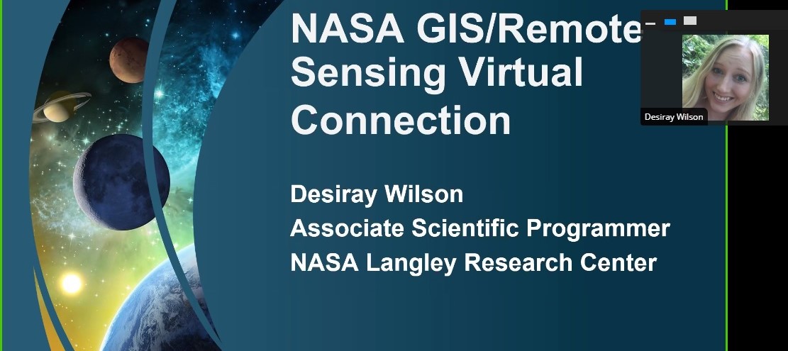
NASA’s Langley Research Center’s Office of STEM Engagement recently held a webinar for college students that explained how NASA subject matter experts are using GIS and remote sensing to build the future.
GIS, or geographic information system, is a collection of computer-based tools for organizing information from a variety of data sources to map and examine changes on Earth.
“These webinars are excellent places for us to engage directly with the community and share some of the exciting work that the agency is doing with the public and with each other,” said Chris Rusnak, a Langley Geospatial Services contractor. “I’m very excited about learning more … about citizen science datasets and how they interface and integrate with larger data-products. The GIS discipline always benefits from collaboration across different contexts and applications.”
“I think these webinars are beneficial because we are not limited to a local audience,” said Desiray Wilson of Langley’s Atmospheric Science Data Center. “Participants from all over the United States were able to tune in easily.”
This webinar was unique in that it’s occurred during the COVID-19 pandemic, leading to a different approach than in webinars prior. Wilson said this webinar was in the works well before the coronavirus outbreak.
“Our presenters definitely rose to the occasion and delivered programming well-tailored to the format,” Rusnak said.
Wilson and Rusnak were among the five presenters at the webinar, which was co-hosted by Anne Weiss, Langley’s Office of STEM Engagement’s education professional development specialist, and Wendy Stout, Spatial Analysis Director at the University of Richmond.
“Given that I came to education/student engagement from a scientific/technical background, I really enjoyed facilitating this GIS/remote sensing virtual connection because it did incorporate more technical content,” Weiss said.
There are two similar webinars scheduled for next month to commemorate the 50th anniversary of Earth Day for educators in grades K-12. The webinars will be April 9 (5:30-6:30 p.m. EDT) and April 22 (6-7 p.m. EDT). Participants will learn about NASA Global Ecosystem Dynamics Investigation (GEDI), a LIDAR instrument aboard the International Space Station that makes 3-D measurements of our forest canopy. By doing so, NASA scientists characterize important carbon and water cycling processes and biodiversity more accurately.
To view a replay of the recent webinar, click here. For more information on the upcoming webinars, click here.
Eric Gillard
NASA Langley Research Center


