NASA’s Laser Communications Small Satellite Mission Demonstrates Technology First
by Danielle Carmichael
For the first time, a free-flying CubeSat has successfully completed space-to-ground optical communications. The Optical Communication and Sensor Demonstration (OCSD) mission, designed and built by The Aerospace Corporation in El Segundo, California, sent a laser signal from low-Earth orbit to a ground station at the company’s facilities.
The small satellite transmitted at a data rate of 100 megabits per second – 50 times greater than typical communication systems for this size spacecraft. Lasers mounted aboard the OCSD spacecraft communicated high-quality, error-free signals for short periods of time to the ground.

For full story, see: SmallSat
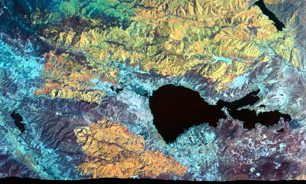
Ice Confirmed at the Moon’s Poles
by Abigail Tabor
In the darkest and coldest parts of its polar regions, a team of scientists has directly observed definitive evidence of water ice on the Moon’s surface. These ice deposits are patchily distributed and could possibly be ancient. At the southern pole, most of the ice is concentrated at lunar craters, while the northern pole’s ice is more widely, but sparsely spread.
A team of scientists, led by Shuai Li of the University of Hawaii and Brown University and including Richard Elphic from NASA Ames, used data from NASA’s Moon Mineralogy Mapper (M3) instrument to identify three specific signatures that definitively prove there is water ice at the surface of the Moon.

For full story, see: IceMoonsPoles
Underwater Robots Help NASA Plan Future Deep-Space Missions
by Abigail Tabor
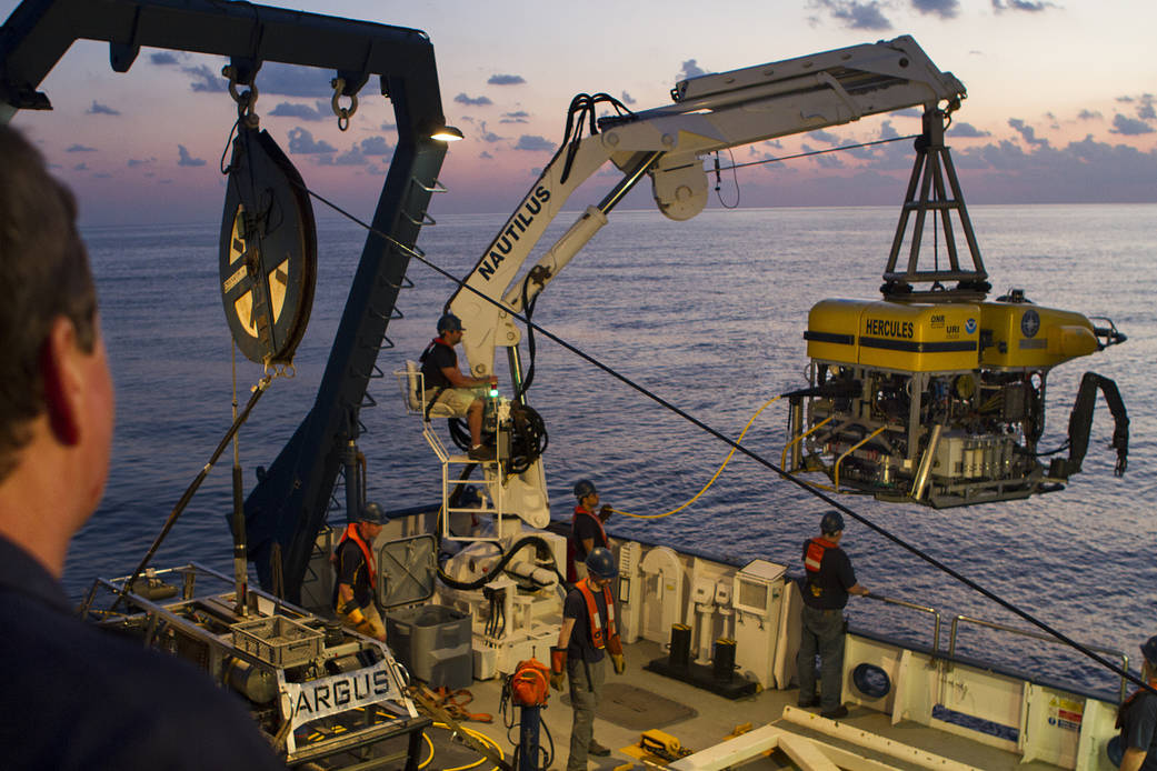
An expedition that will help NASA search for life in deep space launched Aug. 29, 2018 – not with a rocket’s roar, but with a gentle splash into the deep Pacific Ocean. The project, called the Systematic Underwater Biogeochemical Science and Exploration Analog, or SUBSEA, will use underwater robots to explore the biology, geology and chemistry of the environment around a deep-sea volcano off the coast of Hawaii.
For full story, see: UnderwaterArgusMission
Mapping Record-Setting Wildfire from 65,000 Feet
by Abigail Tabor