


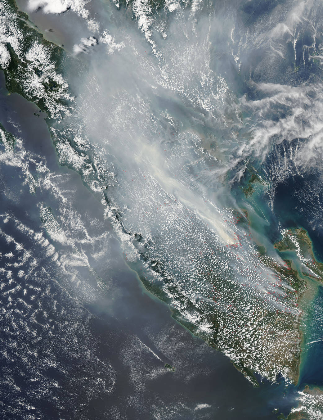
The Aqua satellite image taken on September 02 shows many more fires on the island of Sumatra than the one taken today. NASA’s Aqua satellite collected this natural-color image with the Moderate Resolution Imaging Spectroradiometer, MODIS, instrument on September 11, 2015. Agricultural fires are still in evidence but mostly relegated to the southern end of the island. This abundance of fires could also be the cause of the strong El Nino event that is causing drier weather to this area, and a rise in the number of forest fires that break out in addition to those fires deliberately set to manage the land. Many of the wildfires occur on land that has deep reserves of peat, which is rich in carbon. These fires produce huge plumes of thick, dark smoke and insidious carbon dioxide and other greenhouse emissions that contribute to the current climate change crisis. Such smoke is in evidence in this particular image.
Sumatra, Indonesia might seem a world away but the smoke tends to travel along the jetstreams bringing smoke and its accompanying degraded air quality across the globe.
Actively burning areas, detected by MODIS’s thermal bands, are outlined in red. NASA image courtesy Jeff Schmaltz LANCE/EOSDIS MODIS Rapid Response Team, GSFC. Caption by Lynn Jenner