


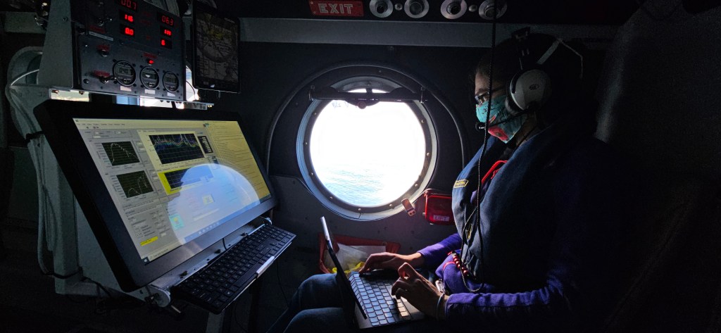


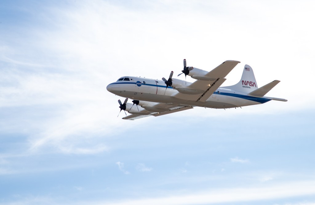


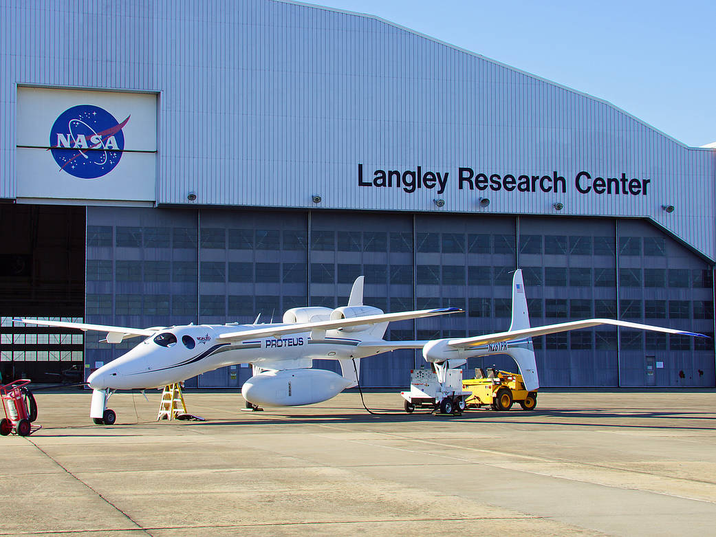
The unusually shaped Proteus, a tandem-wing, all-composite, high-endurance aircraft designed by aviation innovator Burt Rutan, recently spent some time at NASA’s Langley Research Center. The privately-owned research platform conducted a mission on the east coast for the Goddard Space Flight Center.
It flew the Multiple Altimeter Beam Experiment Lidar (MABEL) laser altimeter, which is measuring surface elevations over a series of targets. The measurements made at high altitude mimic what NASA will one day measure from space following the launch of the ICESat-2 satellite, scheduled for 2016.
Scientists consider laser altimetry from satellites or aircraft to be the most accurate method of gauging changing elevations over a period of time, and thus determine the thickening or thinning of Arctic or Antarctic ice fields and sea ice related to climate change.
Credit: NASA Langley/Kathy Barnstorff