


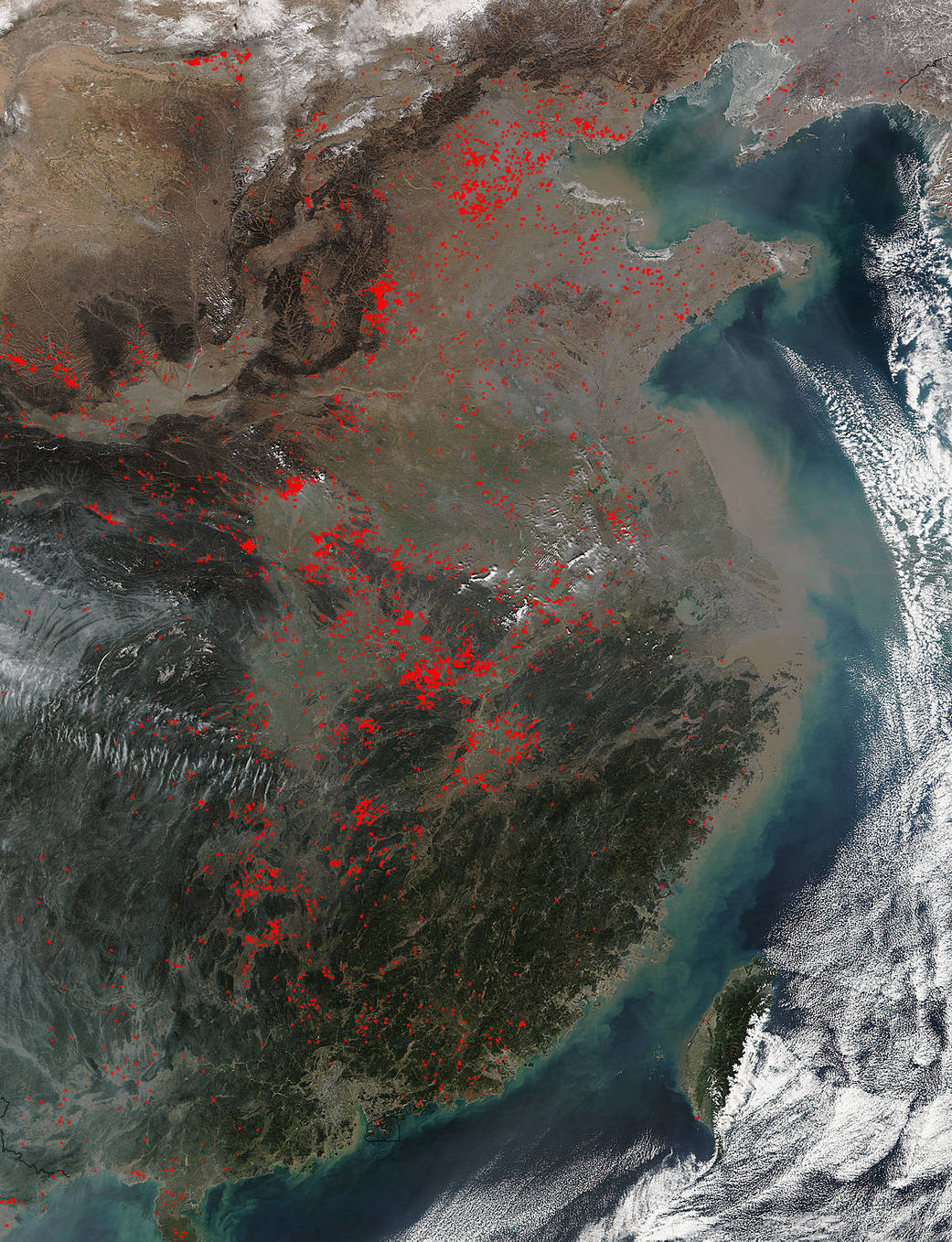
Suomi NPP satellite collected this image of fires in Eastern China.
This natural-color image was collected at 0520 UTC (12:20 a.m. EDT) on Feb. 7, 2016 by the Visible Infrared Imaging Radiometer Suite (VIIRS) instrument that flies aboard NASA-NOAA’s Suomi NPP satellite.
Actively burning areas are outlined in red. Each hot spot, which appears as a red mark, is an area where the thermal detectors on the MODIS instrument recognized temperatures higher than background. When accompanied by plumes of smoke, such hot spots are diagnostic for fire. Suomi NPP is the result of a partnership between NASA, the National Oceanic and Atmospheric Administration, and the Department of Defense.
NASA image courtesy Jeff Schmaltz, Rapid Response Team. Caption: NASA/Goddard, Rob Gutro