


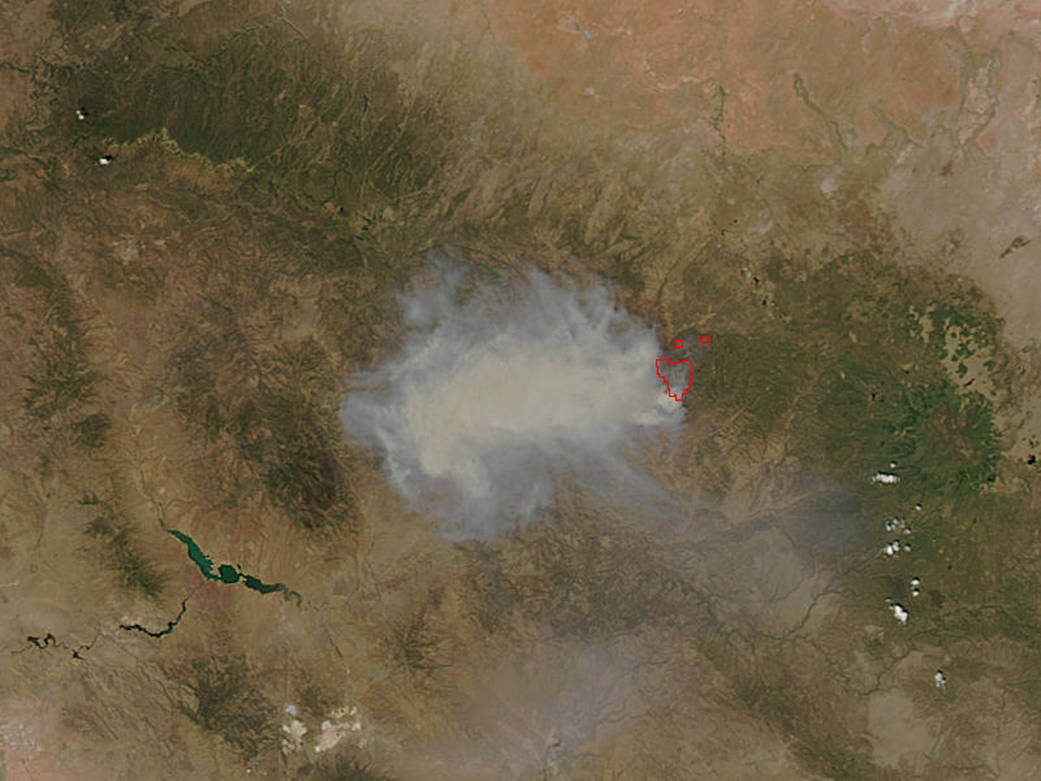
The Cedar Fire in Arizona began on June 15, 2016. The circumstances surrounding how it began are still under investigation. At present the fire has spread to over 12,000 acres and has the potential to spread at least 1000 more acres in the coming days due to environmental conditions. The fire is currently spreading south. Record temperatures are predicted for Monday June 20th with wind gusts up to 12 mph. The Cedar Fire is currently located 18 miles northwest of Whiteriver and 10 miles south of Pinetop-Lakeside/Show Low.
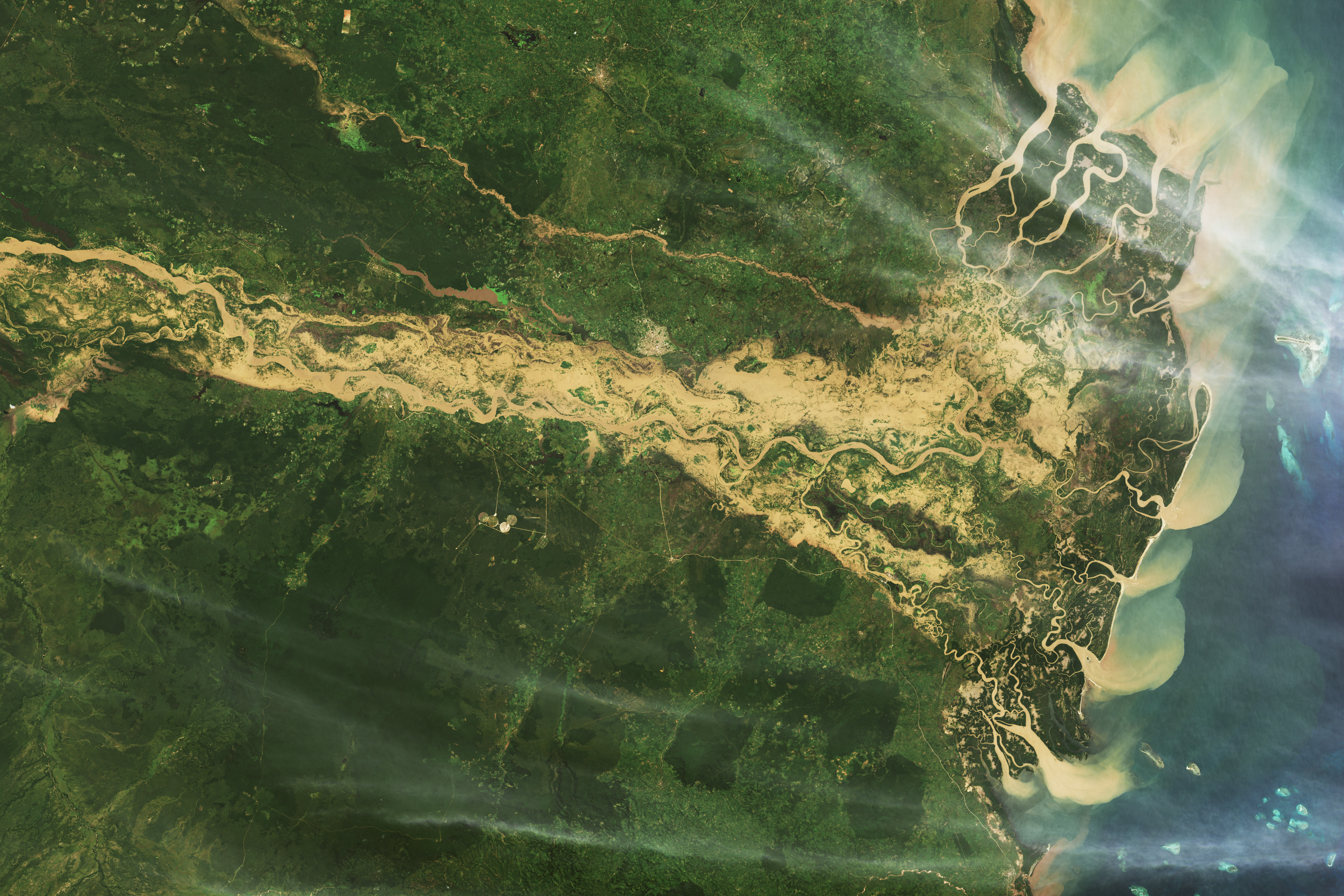
This natural-color satellite image was collected by the Moderate Resolution Imaging Spectroradiometer (MODIS) aboard the Aqua satellite on June 19, 2016. Actively burning areas, detected by MODIS’s thermal bands, are outlined in red. NASA image courtesy Jeff Schmaltz, MODIS Rapid Response Team. Caption: NASA/Goddard, Lynn Jenner with information from Inciweb.