Using satellite data and geospatial technology, SERVIR co-develops innovative solutions through a network of regional hubs to improve resilience and sustainable resource management at local, national and regional scales.
SERVIR increases awareness and access to information and supports analysis to help people in these regions through early action and the use of Earth observation information, Earth science, and technology. With activities in more than 50 countries, SERVIR has already improved the capacity to develop local solutions by developing over 40 custom services, collaborating with over 600 institutions, and training more than 10,000 individuals. Useful resources to find out more about SERVIR’s approach to service planning include the Service Planning Toolkit and SERVIR’s Strategic Plan for 2020-2025.

Developed in 2004 by researchers at NASA’s Marshall Space Flight Center in Huntsville, Alabama, and implemented through NASA partnerships with leading regional organizations around the globe, SERVIR’s name is derived from the Spanish word meaning “to serve”. SERVIR provides critical information and support services to help national, regional and local governments, forecasters, climatologists and other researchers track environmental changes, evaluate ecological threats and rapidly respond to and assess damage from disasters.
By late 2008, the SERVIR model, through the support of NASA and USAID, extended to Eastern and Southern Africa through partnership with the Kenya-based Regional Centre for Mapping of Resources for Development (RCMRD). Expansion continued in late 2010, when SERVIR Hindu Kush Himalaya was established at the International Centre for Integrated Mountain Development (ICIMOD) in Kathmandu, Nepal. Global expansion extended to Asia’s Lower Mekong region in 2014 with SERVIR Mekong, implemented by the Asian Disaster Preparedness Center (ADPC) and consortium partners. In 2016, SERVIR West Africa became the fourth SERVIR hub, implemented by the Permanent Inter-State Committee for Drought Control in the Sahel (CILSS) subsidiary, the Agrometeorology, Hydrology and Meteorology (AGRHYMET) Regional Center in Niamey, Niger, and its consortium partners, with support from Tetra Tech, Inc. USAID and NASA announced a fifth hub, SERVIR Amazonia, in March of 2019.
The newest SERVIR hub is located in Cali, Colombia, and implemented by the Alliance of Bioversity International and the International Center for Tropical Agriculture (CIAT) and consortium members. On March 15, 2022, a cooperative agreement to implement Phase II of SERVIR West Africa was awarded to the International Crops Research Institute for the Semi-Arid Tropics (ICRISAT), as lead organization for the consortium. This agreement extends SERVIR’s activities in the region for the next five years. And in 2023, USAID and NASA launched an expansion of SERVIR Mekong from the Lower Mekong to the Southeast Asia region. SERVIR Southeast Asia was officially launched January 24, 2023. Additional SERVIR hubs are planned for the future.
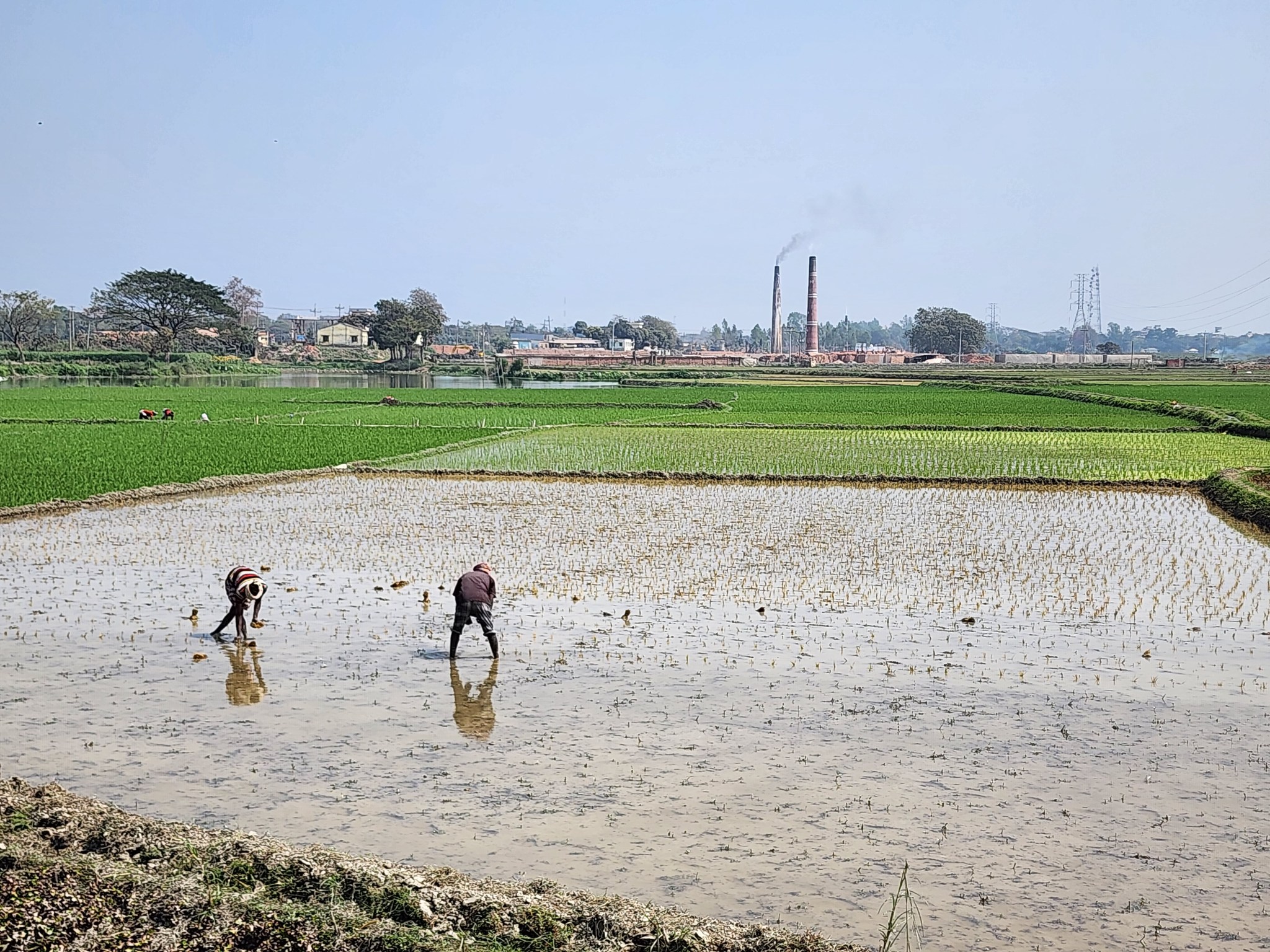
SERVIR partners worldwide
Today, SERVIR is comprised of a global network of leading regional knowledge centers, NASA, USAID, and other partners. The SERVIR network supports geospatial analysis, capacity building, and service design and delivery, and is dedicated to environmental management through the integration of Earth observations and geospatial technologies.
The SERVIR program, jointly led by NASA and USAID, is operated by the Earth Science Division‘s Applied Sciences Program in NASA’s Science Mission Directorate in Washington, DC. Marshall Space Flight Center is home to the SERVIR Science Coordination Office (SCO). Marshall is supported on the program by four other NASA field centers: Goddard Space Flight Center in Greenbelt, Maryland; the Jet Propulsion Laboratory in Pasadena, California; Ames Research Center in Moffett Field, California; and Langley Research Center in Hampton, Virginia.
SERVIR relies on other agencies for expertise in scientific research and international development. Partnerships within the U.S. government include the National Oceanic and Atmospheric Administration, the National Weather Service, the Environmental Protection Agency, the U.S. Forest Service, the U.S Department of Agriculture, and the U.S. Geological Survey.
Media Support
Jonathan Deal
Marshall Space Flight Center, Huntsville, Ala.
256-544-0034
jonathan.e.deal@nasa.gov

