


The Moderate Resolution Imaging Spectroradiometer (MODIS) instrument on NASA's Aqua satellite captured this image of cloud streets and sea ice in the Sea of Okhotsk on Feb. 8, 2016. Cloud streets are long parallel bands of cumulus clouds that form when cold air blows over warmer waters and a warmer air layer rests over the top of both.
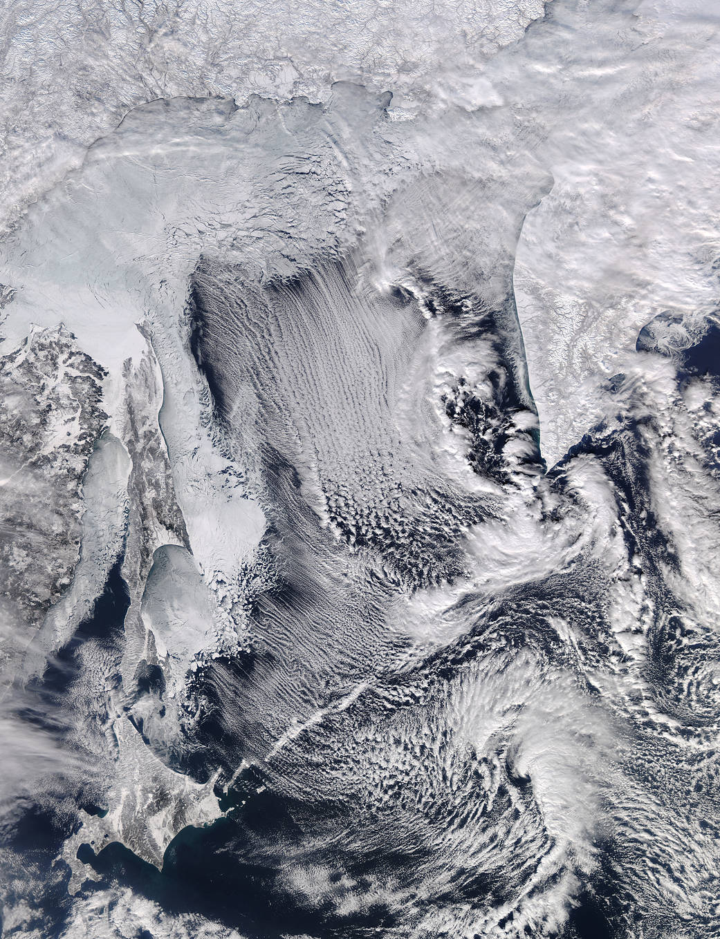
The Moderate Resolution Imaging Spectroradiometer (MODIS) instrument on NASA’s Aqua satellite captured this image of cloud streets and sea ice in the Sea of Okhotsk on Feb. 8, 2016. Cloud streets are long parallel bands of cumulus clouds that form when cold air blows over warmer waters and a warmer air layer (temperature inversion) rests over the top of both.
Image Credit: NASA image courtesy LANCE/EOSDIS MODIS Rapid Response Team at NASA GSFC