


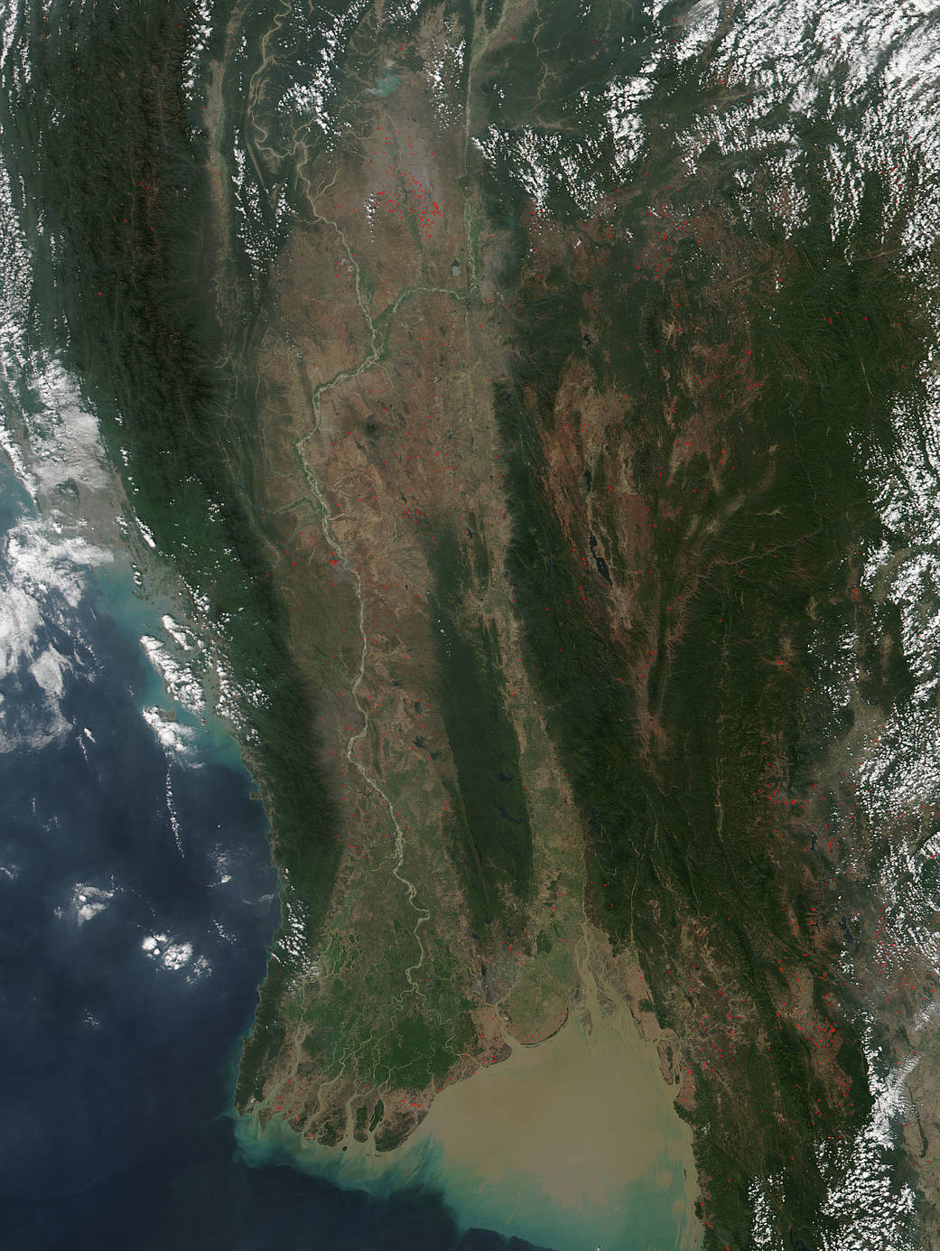
The agricultural fire season that takes place in Southeast Asia in fall-winter is seen across a large portion of Myanmar in this natural-color image captured by the Suomi NPP satellite’s VIIRS (Visible Infrared Imaging Radiometer Suite) instrument on February 03, 2018. Places where VIIRS detected actively burning fires are marked in red. During the area’s dry season (roughly fall-winter in the Northern Hemisphere), intentional land management fires, as well as accidental forest fires that spread from agricultural areas, are common in this area of the world. The large image provided above has a spatial resolution (level of detail) of 375 meters per pixel.
NASA image courtesy Jeff Schmaltz LANCE/EOSDIS MODIS Rapid Response Team, GSFC. Caption by Lynn Jenner