


NASA will hold a virtual media briefing at 1:30 p.m. EDT Thursday, Oct. 21, to share a powerful, new, web-based platform to help those who rely on water resources across the drought-stricken western U.S.
Building on more than two decades of research, OpenET puts NASA data into the hands of farmers, water managers, conservation groups, and others to accelerate improvements and innovations in water management.
Participants in the briefing will be:
- Forrest Melton, OpenET project scientist and program scientist, NASA’s Western Water Applications Office, NASA Ames Research Center Cooperative for Research in Earth Science and Technology
- Brad Doorn, program manager, water resources and agriculture application areas, NASA Applied Sciences Program
- Robyn Grimm, OpenET project manager and senior manager, water information systems, Environmental Defense Fund
- Justin Huntington, OpenET project scientist and senior research scientist, Desert Research Institute
- Martha Anderson, OpenET science team member and research scientist, U.S. Department of Agriculture
- Gabriel Senay, OpenET science team member and research scientist, U.S. Geological Survey
- Richard Allen, OpenET science team member and professor, water resources engineering, University of Idaho
To participate in the briefing, media must RSVP no later than 5 p.m. Wednesday, Oct. 20, to McRae Lenahan at: McRae.c.Lenahan@nasa.gov.
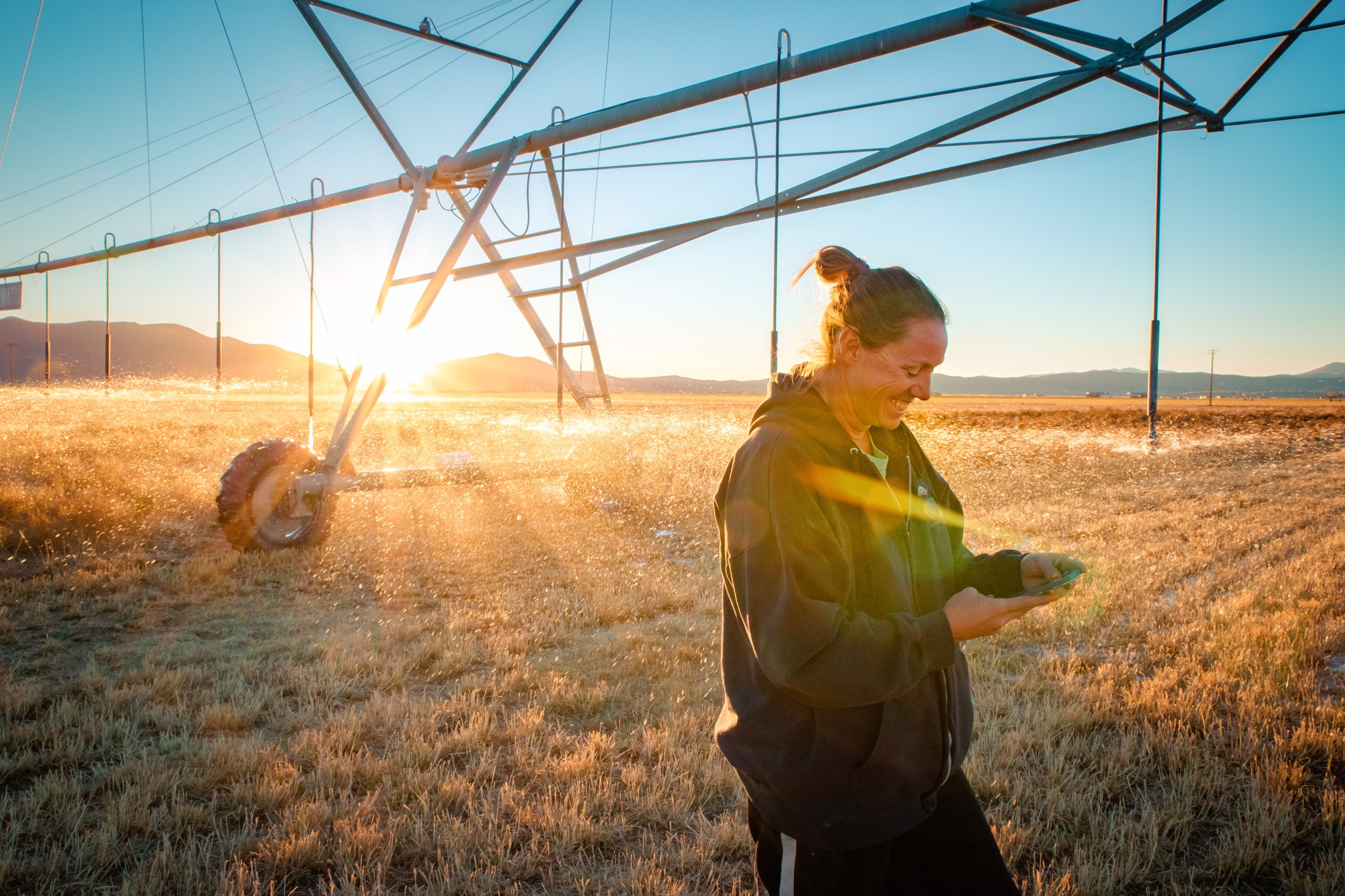
OpenET uses publicly available data, open-source models, and Google Earth Engine to provide satellite-based information on water consumption in areas as small as a quarter of an acre at monthly and yearly intervals. OpenET measures evapotranspiration – the combined process by which water is transferred to the atmosphere through evaporation of surface water on land and transpiration of moisture from plants.
In the arid western U.S., which is currently experiencing record levels of drought, having an accurate measure of evapotranspiration is critical to managing increasingly scarce water supplies. Prior to OpenET, there was no single, low-cost operational system for measuring and distributing evapotranspiration data at the scale of individual fields across the western U.S.
The cornerstone data for OpenET is from the Landsat program, a partnership between NASA and the U.S Geological Survey.
OpenET was developed through a public-private collaboration led by NASA, Environmental Defense Fund, the Desert Research Institute, Google, and HabitatSeven, with input from more than 100 stakeholders.
More information about OpenET is available at:
For more information on how NASA is getting its science, data, and technology into the hands of water managers and decision makers, please visit our Western Water Applications Office.
For more information about the work NASA does in agriculture and Earth science overall, visit:
-end-
Tylar Greene
Headquarters, Washington
202-358-0030
tylar.j.greene@nasa.gov
Rachel Hoover
Ames Research Center, Silicon Valley, Calif.
650-604-4789
rachel.hoover@nasa.gov