


A Mishap Investigation Board appointed by NASA and the National Oceanic and Atmospheric Administration (NOAA) has identified the most likely cause for an instrument issue aboard NOAA’s Geostationary Operational Environmental Satellite (GOES)-17 satellite that launched March 1, 2018 from Cape Canaveral Air Force Station in Florida.
During postlaunch testing of the satellite’s Advanced Baseline Imager (ABI), teams discovered the instrument’s infrared detectors could not be maintained at the required temperatures during some orbital conditions, which resulted in a partial loss of three of the instruments 16 bands during certain times of the year.
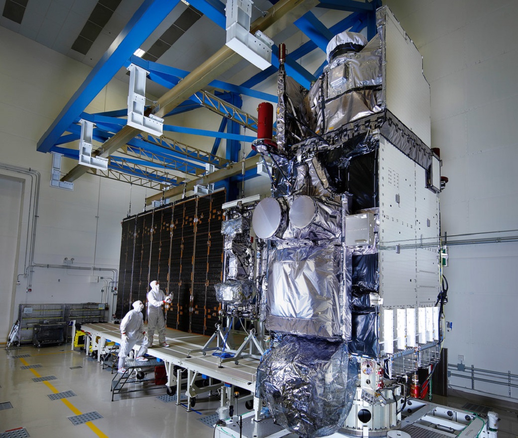
The ABI is GOES-17’s primary instrument for imaging Earth’s weather, oceans, and environment. It views the Earth with 16 spectral bands including two visible, four near-infrared, and 10 infrared channels.
The mishap board was tasked with gathering and analyzing information, and identifying the proximate causes, root causes, and contributing factors related to the ABI performance issues. It concluded the most likely cause of the ABI cooling issue is a blockage in the instrument’s loop heat pipes, which transfer heat from the ABI electronics to its radiator. The blockage restricted the flow of coolant in the loop heat pipes, causing the ABI to overheat and reducing the sensitivity of infrared sensors.
NOAA and NASA have adjusted the instrument operations, and are working to improve the quality of the data in order to reduce the impact of the cooling issue.
GOES-17, in the GOES-West position, is helping forecasters track weather from torrential rain events to wildfires and other environmental hazards throughout the U.S. western region, including California, Alaska and Hawaii. Also, GOES-17 is monitoring typhoons in the eastern Pacific Ocean, including Hawaii.
The Mishap Investigation Board Summary Report is available online at:
GOES-17 is one in a series of NOAA’s next generation geostationary weather satellites which include GOES-16, 18 and 19. The advanced instrument technology used on these satellites will result in more timely and accurate forecasts and warnings. It will improve support for the detection and observations of meteorological phenomena. The GOES-R Series program is a collaborative development and acquisition effort between NOAA and NASA to develop, launch and operate the geostationary weather satellites.
-end-
J.D. Harrington
Headquarters, Washington
202-358-5241
j.d.harrington@nasa.gov