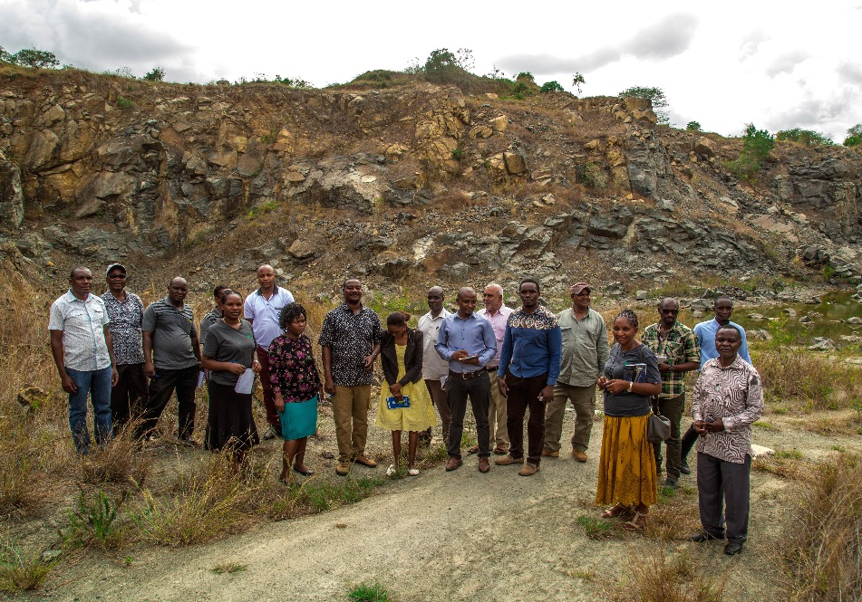
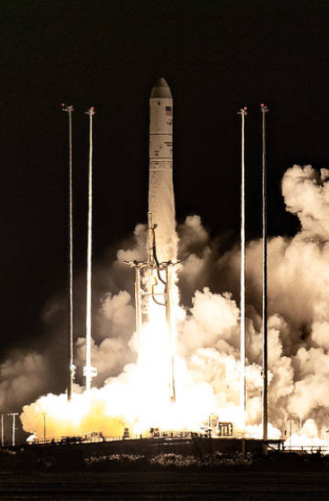
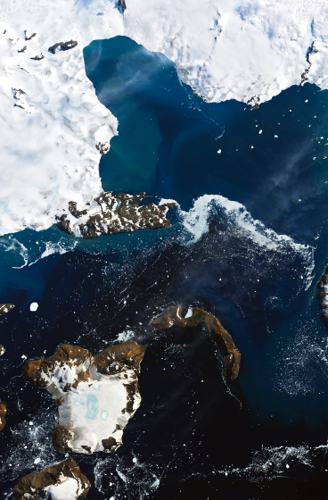
From 2008 – 2023, SERVIR Eastern and Southern Africa developed a diverse collection of user-tailored geospatial services that use Earth observations and NASA data to inform resilient development in the region. The Regional Centre for Mapping of Resources for Development (RCMRD), based in Nairobi, Kenya, implemented the Eastern and Southern Africa hub.
Currently SERVIR supports NASA Applied Science Team members working in Kenya, Malawi, Rwanda, Tanzania, Uganda, and Zambia.’
SERVIR works in partnership with leading regional organizations world-wide to help countries use information provided by Earth observing satellites and geospatial technologies. SERVIR works in countries in Asia, Africa and Latin America to support locally led efforts to strengthen climate resilience, food and water security, ecosystem and carbon management, and air quality.


