


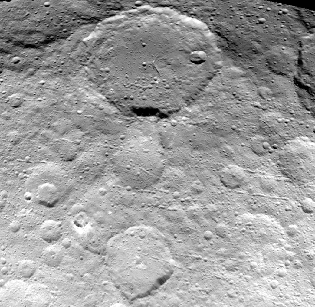
This image of Ceres is part of a sequence taken by NASA’s Dawn spacecraft on May 23, 2015, from a distance of 3,200 miles (5,100 kilometers). Resolution in the image is about 1,600 feet (480 meters) per pixel.
The view shows numerous secondary craters, formed by the re-impact of debris strewn from larger impact sites. Smaller surface details like this are becoming visible with increasing clarity as Dawn spirals lower in its campaign to map Ceres.
The region shown here is located between 13 degrees and 51 degrees north latitude and 182 degrees and 228 degrees east longitude. The image has been projected onto a globe of Ceres, which accounts for the small notch of black at upper right.
OpNav9 is the ninth and final set of Dawn images of Ceres taken primarily for navigation purposes.
Dawn’s mission is managed by JPL for NASA’s Science Mission Directorate in Washington. Dawn is a project of the directorate’s Discovery Program, managed by NASA’s Marshall Space Flight Center in Huntsville, Alabama. UCLA is responsible for overall Dawn mission science. Orbital ATK, Inc., in Dulles, Virginia, designed and built the spacecraft. The German Aerospace Center, the Max Planck Institute for Solar System Research, the Italian Space Agency and the Italian National Astrophysical Institute are international partners on the mission team.
For a complete list of acknowledgments, see http://dawn.jpl.nasa.gov/mission.
Image credit: NASA/JPL-Caltech/UCLA/MPS/DLR/IDA