


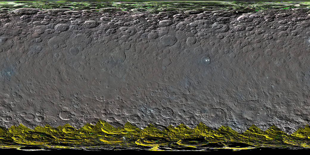
This colorized global map of Ceres was created from a clear-filter mosaic. Color was added to the map using spectral data from other observations of Ceres (calculated using a color transformation program). The green and yellow areas at high latitudes are places where Dawn’s color imaging coverage is incomplete.
The map is a Mercator projection and has a resolution of 460 feet (140 meters) per pixel. The images used to make this map were taken from Dawn’s high-altitude mapping orbit (HAMO), at a distance of 915 miles (1,470 kilometers) from Ceres.
Dawn’s mission is managed by the Jet Propulsion Laboratory for NASA’s Science Mission Directorate in Washington. Dawn is a project of the directorate’s Discovery Program, managed by NASA’s Marshall Space Flight Center in Huntsville, Alabama. UCLA is responsible for overall Dawn mission science. Orbital ATK, Inc., in Dulles, Virginia, designed and built the spacecraft. The German Aerospace Center, the Max Planck Institute for Solar System Research, the Italian Space Agency and the Italian National Astrophysical Institute are international partners on the mission team. For a complete list of acknowledgments, see http://dawn.jpl.nasa.gov/mission.
For more information about the Dawn mission, visit http://dawn.jpl.nasa.gov.