


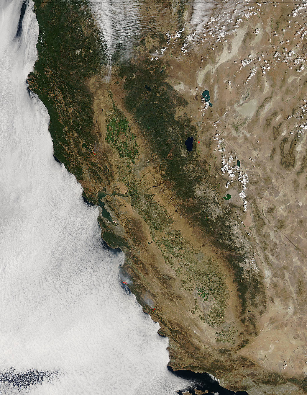
Smoke from California’s Soberanes Fire was captured in an image from NASA’s Aqua satellite on August 14, 2016 at 5:30 p.m. EDT (21:30 UTC). The Moderate Resolution Imaging Spectroradiometer (MODIS) on NASA’s Aqua satellite captured this natural-color image. The red dots on the image indicate the heat signature detected by MODIS.
On Aug. 15, Inciweb, an interagency all-risk incident information management system that coordinates with federal, state and local agencies to manage wildfires, reported that the Soberanes Fire had covered 72,566 acres. It is currently 60 percent contained. It started from an illegal campfire according to Inciweb.
On Aug 15 Inciweb noted: The Soberanes Fire continues to spread slowly toward the Big Sur area and firefighters continue to work aggressively building fire line east of Hwy 1 above the Big Sur Community. As the fire approaches the area, firing operations may necessitate the closure of Hwy 1.
For additional updates, visit these social media sites:
https://www.facebook.com/lospadresnationalforest
https://www.facebook.com/CALFIRE
https://twitter.com/LosPadresNF
NASA image courtesy Jeff Schmaltz, NASA Goddard Rapid Response Team. Caption: NASA/Goddard, Rob Gutro with information from Inciweb.