


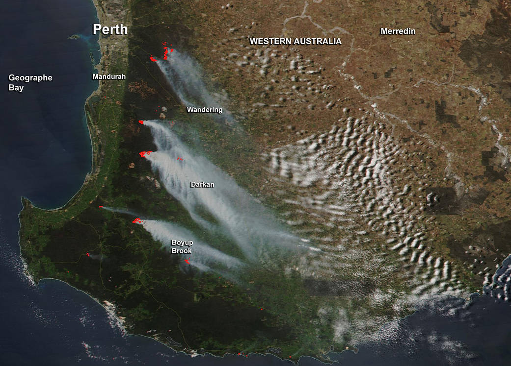
There are several large fires burning in the area southwest of Perth, Western Australia and NASA-NOAA’s Suomi NPP satellite captured an image of the smoke generated from them.
This natural-color satellite image was collected by the Visible Infrared Imaging Radiometer Suite (VIIRS) instrument that flies aboard NASA-NOAA’s Suomi NPP satellite. VIIRS imagery identified smoke on Oct. 23 at 1:45 a.m. EDT (05:45 UTC).
Actively burning areas are outlined in red. Smoke from the fires were blowing to the southeast.Smoke was affecting the towns of Darkan, Wandering and Boyup Brook. These towns are all located in what is known as the Wheatbelt region of Western Australia.
NASA image courtesy Jeff Schmaltz, MODIS Rapid Response Team. Caption: NASA/Goddard, Rob Gutro