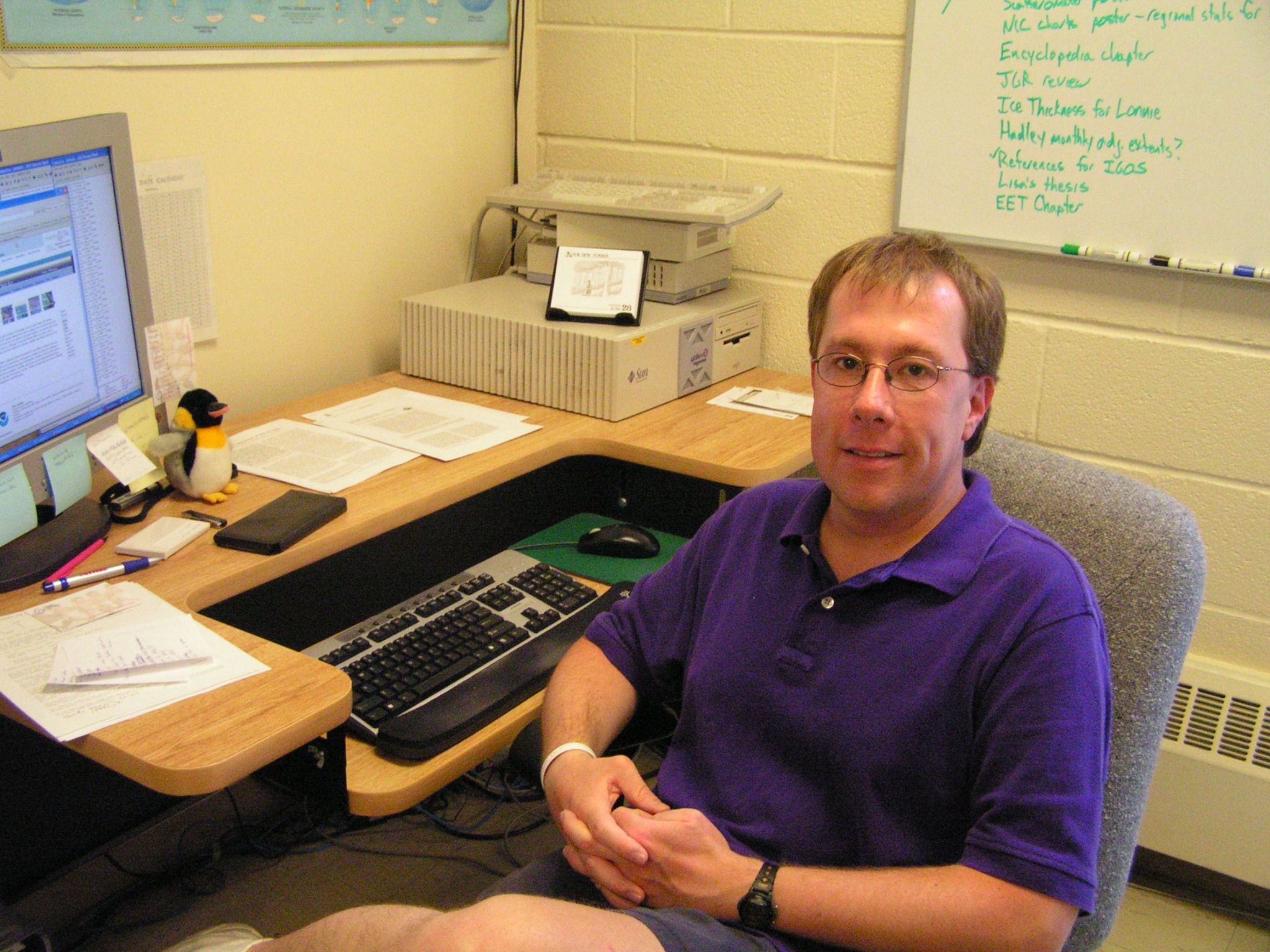
Name: Walter Meier
Title: Research Scientist
Organization: Code 615, Sciences and Exploration Directorate
From a dinner with Al Gore to time spent on educational outreach, Walt Meier’s work with climate data has given him some unusual opportunities.
Meier primarily studies Arctic sea ice levels, helping collect and interpret the data from satellites, but some of his favorite work involves educating people about what he learns.
“I try to always keep in mind my job is to serve the public and part of that is communicating the science and what the data are showing, along with doing my science and analysis,” Meier said. “Both are pretty exciting in different ways.”
He works to better understand how and why sea ice reacts to warming temperatures in Earth’s atmosphere, and how that melting ice can go on to affect the rest of the planet.
What are you working on right now?
I primarily do remote sensing of sea ice, using satellite data to better understand characteristics of the ice, how it’s changing, how it might change in the future and potential effects of those changes.
What are some of those changes?
My research is more in the Arctic, where we’ve been seeing very big decreases in sea ice cover over the last 35 years. I’ve seen it just trending lower and lower every year. I’ve also been working with something called the sea ice age product, which monitors the age of sea ice and how it changes and moves around due the winds and ocean currents. Some ice melts every year, but the older ice, which tends to be thicker, can usually stick around through summer heat. But as more ice melts every year, there’s been a really dramatic change in the age of the ice, with less and less of the older ice, which means the ice is probably much thinner.
What kind of effect could these changes have?
A younger, thinner ice cover is one that’s more prone to melt and we see that happening. When more ice melts than can be replenished, it results in less ice during the summertime, which means more open water; and open water absorbs more energy from sunlight than ice, because it’s darker. This warms things up even more. This is what is know as Arctic amplification. And when you absorb a lot more energy into the Arctic system during the summertime and heat up the ocean, you change the balance between cool water in the Arctic and warmer water farther south. There’s evidence the change could be slowing down the jet stream and making it loopier, which could alter storm tracks and possibly contribute to more severe weather worldwide. The Arctic acts kind of like a refrigerator, and as the climate heats up, it’s like we’re leaving the refrigerator door open. It’s cooling itself much less efficiently and leaking cooler temperatures further south, which could cause things like the extreme winters like we saw with the polar vortex.
How do you study Arctic sea ice?
There are different ways, but I typically use passive microwave satellites, which can distinguish sea ice from water based on the different amounts of microwave radiation they both emit. Passive microwave sensors are particularly useful for collecting sea ice data, because they can collect data at night and through clouds, which can be a big issue in the Arctic. We also have a long record of sea ice data from passive microwave satellites and we can get a really good idea of the changes that have been occurring and what the trends are. Back in the early 1970s, when passive microwaves started out, they were seen as a potential tool for studying a lot of different things like soil moisture, snow cover, ocean currents and of course, sea ice.
Are there downsides to using passive microwave?
Passive microwave satellites work by collecting energy in the form of microwave radiation from the Earth, which emits very low-level energy. That means you have to collect the energy over a big area, so the spatial resolution of the images isn’t always as good. It’s similar to using a camera to take a picture of something far away, and then trying to zoom in; you don’t always see a lot of fine-scale features, which can be important for studying ice melt.
Have passive microwave satellites improved over time?
Since I started working on sea ice in the mid-1990s, we’ve launched the Aqua satellite, which carries the AMSR-E – Advanced Microwave Scanning Radiometer – Earth Observing System – sensor. It’s actually a Japanese instrument, but it was launched with NASA as a partnership. It had a much bigger antenna to collect data, so the spatial resolution was better, more than double what we had previously, and we were able to see much finer details. I’m also on the science team for AMSR2, which is a fully Japanese mission. With other NASA scientists on that team, I’m helping ensure the information we’re collecting is consistent with previous missions.
What does it mean for the data to be consistent?
Between satellites, data collection will never be exactly the same. The sensors have slight differences that we have to account for when interpreting the data, by adjusting the readings slightly. Usually, the way you match up data is to have one sensor flying and launch the next one so they’re flying and collecting data at the same time. Then, if they’re getting different readings, you know that’s due to slight differences in the sensors and you can make adjustments to ensure the readings are comparable. With AMSR-E unfortunately, it stopped operating at full capabilities before AMSR2 launched, so we couldn’t use the usual methods of matching it up. We had to develop a new way of doing that, comparing readings from AMSR-E and AMSR2 with other satellite sensors to see how their readings differed and make the appropriate adjustments.
Kathryn Mersmann
NASA’s Goddard Space Flight Center


