


If firefighters knew exactly how a wildfire was going to spread, they could work more efficiently and safely. But we can’t forecast exactly where and how quickly a growing fire will move. The computer models used in fire forecasting have vastly improved over the last few decades, but all too often, people still die because a fire unexpectedly veered or accelerated. To continue improving fire forecasts, researchers need more data on how real fires spread and interact with their environment — but stepping in front of a raging wildfire to make a few measurements is always too dangerous.
Credits: NASA/James Round
Yet this past June, fire scientists got an opportunity to do just that. The occasion was a prescribed burn in Utah’s remote Fishlake National Forest. For Adam Kochanski of the University of Utah in Salt Lake City, it was the first opportunity to test how well the fire forecasting model he has been working on for years would forecast a wilderness fire in the field. Called WRF-SFIRE, the model enhances the widely used Weather Research and Forecasting model (WRF) with a module simulating how fire spreads and interacts with local weather. WRF-SFIRE’s development was partly funded by the Applied Sciences Program in NASA’s Earth Science Division.
With a little help from a colleague’s smart phone, Kochanski produced three successful forecasts for the two-day burn on June 19 and 20, using WRF-SFIRE. It was an important milestone on the long road to giving firefighters more accurate forecasts. “I’m super-happy that NASA had faith in this whole idea,” Kochanski said.
Firefighters in command centers worldwide routinely use data streams from NASA satellites to plan firefighting efforts. But those data are only the tip of the iceberg of NASA resources on fire. The Applied Sciences Program funds research and development for projects that use Earth observations and models to analyze fires before, while, and after they occur — for example, by improving the accuracy of modelling systems and the methods used to estimate the amount of fuel in a fire-prone area. The agency’s airborne and ground-based field campaigns, like Camp2Ex, have collected valuable data on fire and smoke, including their health effects. NASA also funds rapid response grants to help state and local agencies, such as Sonoma County in California, with information needs immediately following a fire or other disaster.
A Huge, Hot, Almost-Wild Fire
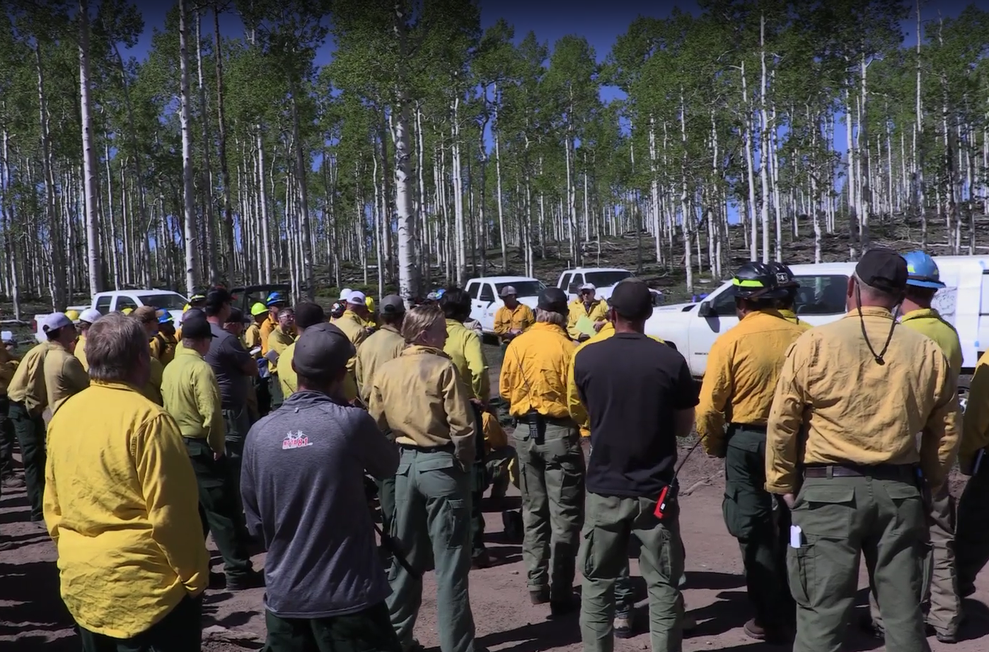
The prescribed burn in Fishlake National Forest was “as close to a wildfire as you can get,” according to Research Forester Roger Ottmar of the U.S. Forest Service’s Pacific Wildland Fire Sciences Laboratory in Seattle. Planned to encompass several thousand acres (more than three square miles), the fire was designed to be hot enough to clear away a sick, overcrowded conifer forest, making room for native aspen to regrow with conifers in a more open density.
Ottmar recognized that such a large fire could work as a research laboratory for scientists like Kochanski who are participating in the Fire and Smoke Model Evaluation Experiment (FASMEE), a multiagency, multiyear effort to advance fire and smoke forecasting, supported by the Joint Fire Science Program, the U.S. Forest Service’s Washington Office and the Pacific Northwest Research Station.
For the last few years, Kochanski and Jan Mandel of the University of Colorado in Denver were funded by NASA to continue developing the WRF-SFIRE model, which assimilates satellite observations to produce forecasts for fire, weather and smoke. Kochanski and about 40 other fire scientists joined Ottmar, who is the FASMEE principal investigator, at the burn site to test fire-related technology and collect data.
What Is a Fire Model?
Fire forecasting models, like weather forecasting models or climate models, use mathematical equations to represent real-world processes such as winds, cloud formation, and the growth and spread of fires and smoke. These models require real-world data on fuels, terrain, weather conditions, and other factors that affect a fire behavior in order to set up the virtual world where the simulated fire occurs. In many cases, these information come from NASA satellite data.
Firefighters use computer models to predict where and how a wildfire will spread over the next few hours, just as meteorologists use models to forecast hurricane tracks. But while high-quality weather data are collected worldwide, very few data exist of the types needed for fire models. Fire models are also used for research into fire behavior, smoke dispersion and air quality impacts of wildland fires.
WRF-SFIRE is a “coupled” fire-atmosphere model. That means it simulates not only the fire and the weather but the evolving interactions between the two. For example, the rising heat from a fire can create a powerful updraft that makes winds stronger, causing the fire to spread more quickly. Simulating such complex interactions in a coupled model requires many additional equations, and thus coupled models require more computing power or more time to complete a simulation than simpler models do.
If it takes a model longer to simulate a fire than it takes the fire to burn the same terrain, the model isn’t useful for forecasting (though it may still be extremely useful for research). WRF-SFIRE is one of only a few coupled models that can complete a fire simulation in a short enough time to be used for forecasting. Freely available to all users, it requires considerable computing resources to operate.
Modelers evaluate the performance of their models by comparing an observed fire that occurred in known fuel, terrain and weather conditions with the simulated one. Starting the model with the conditions that existed when the fire broke out and comparing the virtual conflagration with the actual one gives information on how realistic the model is. But the researchers have a problem: Very few wildfire data sets include all of the comprehensive fuel, weather, fire and smoke observations needed to evaluate such complex models. That’s the point of FASMEE, Ottmar explained: “We wanted to collect a set of comprehensive data we could use not only to evaluate fire and smoke models but also to advance them.”
Forecasting from the Field
A WRF-SFIRE prototype was used last fire season to support firefighting operations, but the Fishlake burn was the first time Kochanski had tried to produce a fire forecast in such a remote location — under the same conditions that firefighters face in an actual wildland fire or a prescribed burn. Because of the model’s computational needs, the first issue was connecting with the Center for High Performance Computing at the University of Utah to run the simulation.
“When I realized I didn’t have reception on my phone and my [cellular] router in the car didn’t work either, I was in a panic mode,” Kochanski said. “I thought it was over.” But another scientist at the Fishlake site did have cell reception and allowed Kochanski to use his phone to connect to the computing center, where the model simulations were executed.
Kochanski ran three forecasts: one for several small burns that took place on the first day, and two others for the main burn on the following day. “The model actually performed better than I expected,” he said. “The system not only completed the forecast, but the forecast itself came out to be really good, We captured the overall fire activity, smoke dispersion and local weather. Overall, I was very happy.”
By: Carol Rasmussen
NASA’s Earth Science News Team