


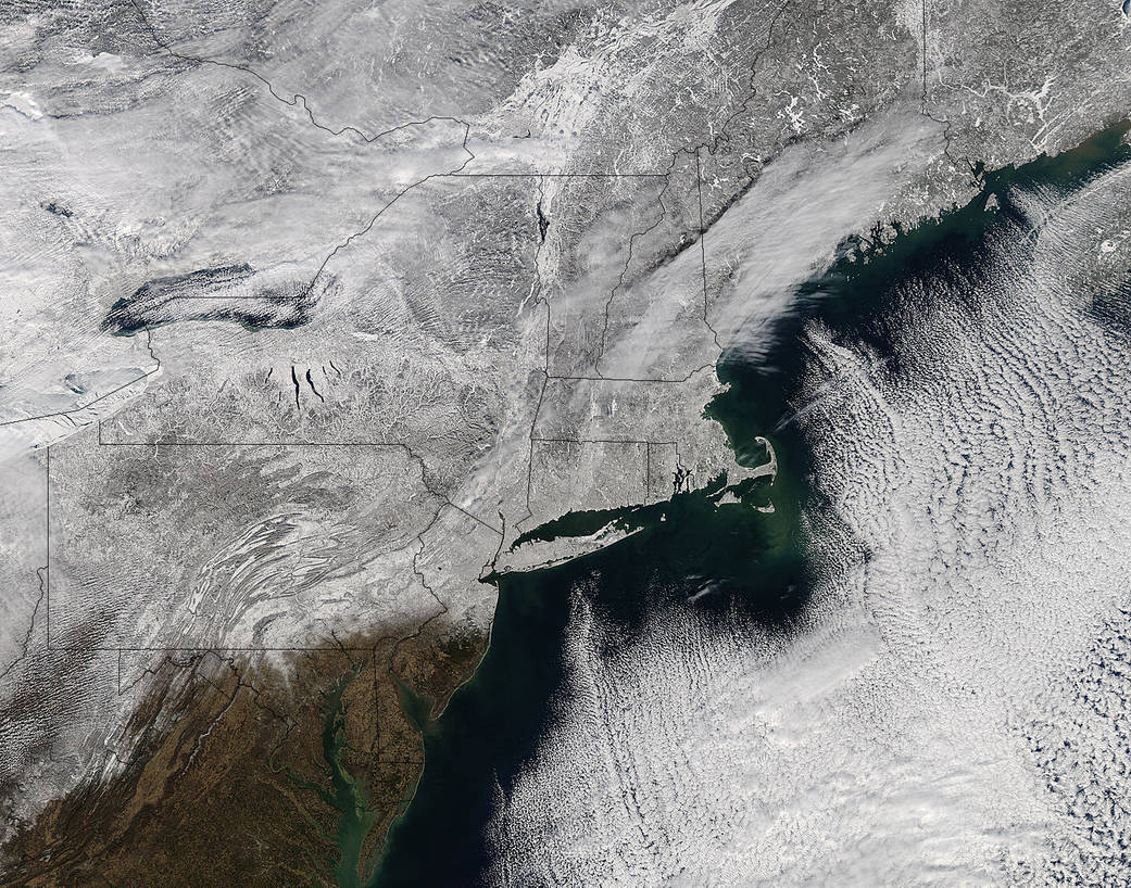
When NASA’s Aqua satellite passed over the northeastern U.S. on February 3, the Moderate Resolution Imaging Spectroradiometer instrument better known as MODIS captured a visible picture that revealed the region under a snowy winter blanket.
The wintry MODIS image was taken on February 3 at 18:00 UTC or 1 p.m. EST. In the image, snowfall stretches from northeastern Canada and Maine southwest through all of New York State and almost all of Pennsylvania, with the exception of the extreme southeastern corner of the state. The image was created by the MODIS Rapid Response Team at NASA’s Goddard Space Flight Center in Greenbelt, Maryland
Early on Feb. 5, some areas of New England received more snowfall on top of the large totals left behind from the previous weekend.
Rob Gutro
NASA’s Goddard Space Flight Center