


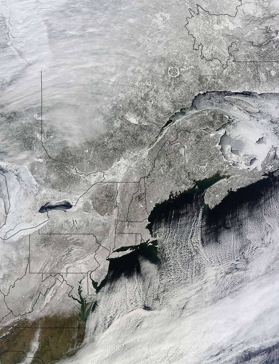
NASA's Terra satellite captured this image of the snow on the ground in the northeastern U.S. and Canada on March 6, 2015.
NASA’s Terra satellite captured this image of the snow on the ground in the northeastern U.S. and Canada on March 6, 2015 at 10:40 a.m. EST, a day after a winter storm dropped between 4 and 9 inches of snow in the Mid-Atlantic. BWI Airport, Baltimore received a record 6.2 inches of snow. Credit: NASA MODIS Rapid Response Team.