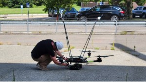


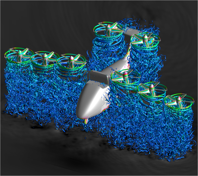


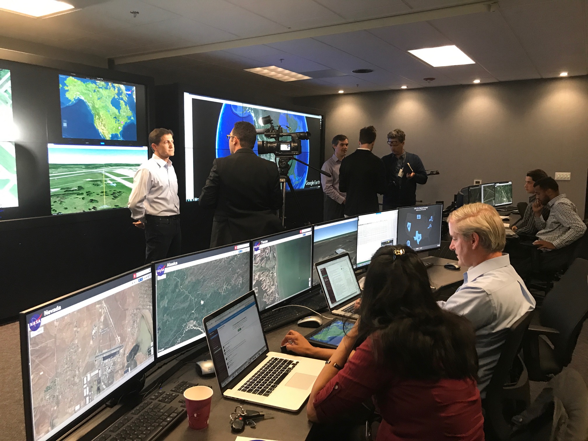
NASA and its partners are wrapping up tests of the most recent version of its Unmanned Aircraft Systems (UAS) Traffic Management (UTM) technologies with live, remotely operated aircraft, or drones, at six sites around the country.
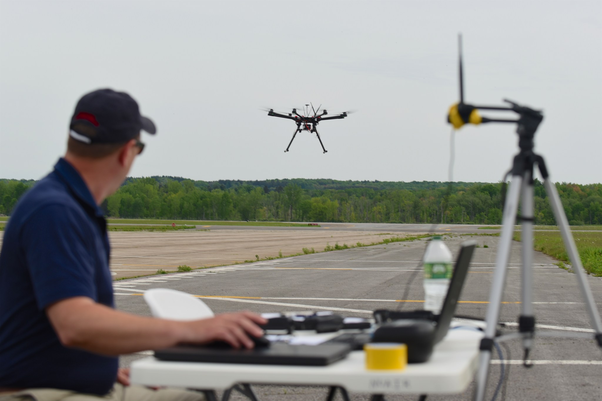
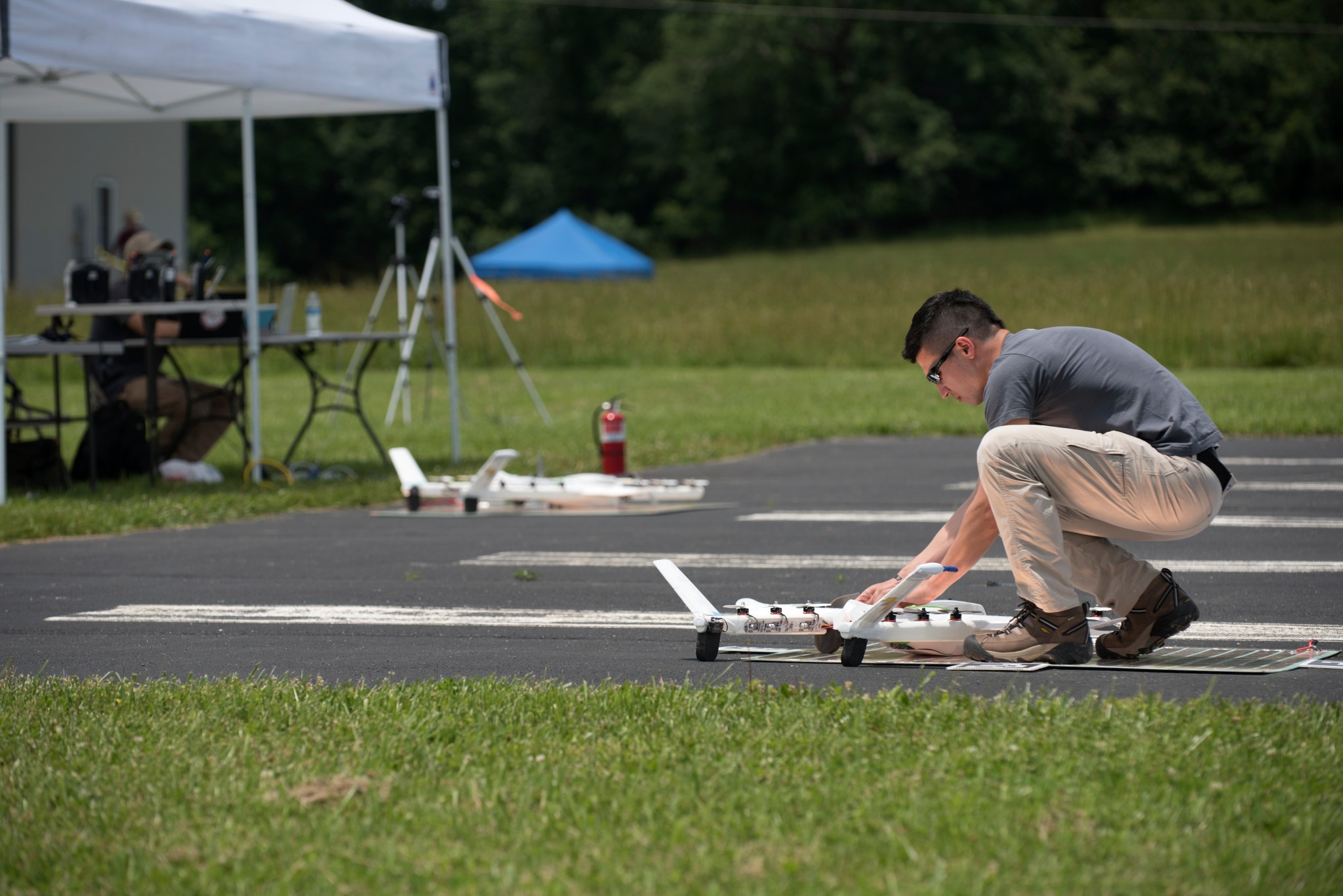
The three-week campaign, known as the Technology Capability Level 2 (TCL2) National Campaign, has focused on flying small drones well beyond the pilot’s visual line of sight over sparsely populated areas at six of the Federal Aviation Administration (FAA) test sites.
“Using the power of collaborative innovation to work alongside many committed government, industry and academic partners, NASA is fostering commercial sector investment in UAS technology, and enabling the agency to lead research and development using a cloud-based UTM research platform,” said Arwa Aweiss, coordinator for NASA’s UTM TCL2 National Campaign.
The operational scenarios have simulated a variety of use cases including package deliveries, farmland surveys, search and rescue operations, railway inspections, and video surveillance operations.
Data collection for the TCL2 flight campaign ends this Friday, but engineers need a few more months to evaluate and analyze the collected data. Nonetheless, a few results are already known.
According to Tom Prevot, NASA’s UTM project lead, shakedown flights during the campaign reveal NASA’s research platform is extremely powerful and robust.
“The UTM platform is capable of coordinating and analyzing inputs from dozens of sources, making valid and reliable assessments of the local airspace environment, and communicating safe flight opportunities to pilots in the area,” Prevot said.
Also known is that NASA has a fantastic array of partners who are working as a collective and highly productive team, sharing data and contributing their own resources to make this collection of UTM technologies successful.
“The flight tests also demonstrated that the concepts and ideas behind UTM TCL2 will work, but there’s still a need for a common operating picture where everyone gets more airspace awareness,” Prevot said. “There’s a lot of flyers right now that fly with little thought or concern about others flying in the immediate area. Implementing a UTM system will foster coordination and education on how to safely share the airspace.”
Partnerships Make UTM Possible
NASA has signed more than one hundred Space Act agreements with various partners since its UTM development project started.
“Industry will play a major role in the implementation, operation, and maintenance of UTM systems in the U.S. airspace,” said Aweiss. “The TCL2 test activities provide a glimpse into the roles of our many partners by connecting their system prototypes and components with NASA’s UTM research platform.”
These partnerships are represented by four groups.
The first is the FAA.
“We are working alongside our FAA counterparts to find reliable and safe solutions to integrate the millions of drones predicted to fly in the national airspace,” said Parimal Kopardekar, senior technologist for NASA’s air transportation system research and principal investigator for UTM. “We need a traffic management system in place to ensure the safety of the nation’s manned and unmanned airspace.”
NASA’s partnership with the FAA includes working with six of the FAA’s seven UAS test sites — Alaska, New York, Texas, Nevada, North Dakota, and Virginia. These sites are managed to have close ties to state government, as well as with academic institutions.
“Being one of only seven FAA UAS test sites in the country is a significant advantage for Oneida County,” said Oneida County Executive Anthony J. Picente Jr. “The partnership between Griffiss International Airport, NUAIR Alliance and NASA is one that continues to place our region on the forefront of this ever-growing industry. This event is a great way to showcase the important work that is being done here and the strides that NASA is making in moving this technology forward.”
The second group of partners includes companies planning to fly drones in the national airspace for package and food deliveries; bridge, powerline and rail inspections; and agricultural purposes. Some of these companies are well known — Amazon, Google, Intel, Flirtey, Drone America, Carbon Autonomous, and NUAIR to name a few.
The partners in the third group don’t actually plan to fly drones, but want to help develop the system that makes it possible for others to do so. These partners, called UAS Service Providers, include companies such as Simulyze, ANRA, and Airmap, which didn’t fly but supported the demonstration. Google and Amazon flew drones as well as being UAS Service Providers. These partners work with NASA to build the systems that operators or pilots use to file their intended flight plans, and then help coordinate safe drone traffic in the airspace. Finding creative ways to make these systems as seamless as possible is one of the technical challenges faced by NASA and these service providers.
The fourth group of partners brings technology to the table. As NASA’s UTM development progresses, it requires additional hardware and more expertise. NASA and the test sites count on partners like Echodyne and Fortem Technologies to provide radars and sensors needed to fill a niche in the UTM prototype. Much of this equipment works in its present form, but in some cases, needs to be more fully integrated into the overall system. The test sites also partnered with companies that helped build their wireless and wired infrastructure, and with integration of systems such as AX Enterprize and AESC.
TCL2 also showed that when flying well beyond the pilot’s line of sight, situations develop where operators lose sync with their aircraft. These occurrences reinforce the need to develop better ways to strengthen these links to ensure positive control. Developing a quality standard for these communications links will be a critical element for the entire industry.
The next research phase — Technical Capability Level 3, or TCL3 — will fly drones in airspace with more traffic over more populated areas, and have a stronger focus on responding to the presence of larger, piloted aircraft.
The TCL3 team will need to assess ground-based airborne surveillance systems and how to safely fly in higher density airspace. Vehicle-to-vehicle communications also will be evaluated to permit suburban delivery activities. TCL3 should start in late 2017 or early 2018.